Source: Water Resources Research
GPS isn’t just for drivers navigating city streets or surveyors making maps.
Monitoring GPS microwave signals and the way they behave when interacting with different materials can reveal a host of additional information, including the properties of fallen snow. In a new paper, Koch et al. present a novel strategy for using GPS sensors to simultaneously capture three key snow cover properties: snow water equivalent, liquid water content, and snow depth.
The snow water equivalent of a snowpack is the amount of water that would result from melting it, whereas the liquid water content indicates the wetness of a snowpack. These properties, along with snow depth, are crucial for many applications, such as predicting natural hazards like avalanches and floods or anticipating river runoff that replenishes water supplies and hydropower forecasts. However, measuring them precisely can be invasive and expensive.
The new research builds on a decade of efforts to use GPS sensors to measure snow properties nondestructively and inexpensively. These methods take advantage of the signals emitted by GPS satellites that usually enable a receiver to determine its spatial position. Traveling through snow alters the properties of GPS signals, and measuring these signal changes can reveal key characteristics of the snowpack.
The authors had previously developed GPS-based strategies for measuring single snow cover properties, but now it is possible for the first time to reliably capture snow water equivalent, liquid water content, and snow depth all at once for both dry snow—consisting of just ice and air—and wet snow, which also includes some liquid water. The new approach uses a two-antenna setup to capture all three features, with one antenna on a pole above the maximum snow height and the other on the ground, where it is buried under snow throughout the entire winter season.
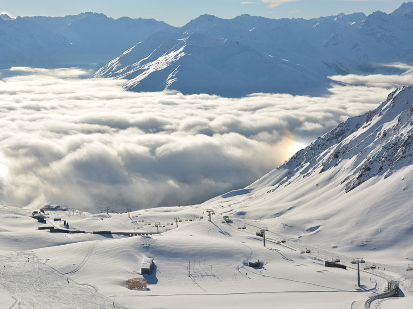
The researchers installed this setup at a high-elevation site near Davos, Switzerland, and collected data for three winters between October of 2015 and July of 2018. When snow was present, it altered the strength and speed of the GPS signals received by the buried sensor, whereas the pole-mounted sensor received unimpeded signals, allowing for a comparison to reveal how the snow affected the signals.
By applying knowledge of GPS signal properties, including how they are affected differently by wet versus dry snow, the researchers used the sensor data to calculate snow water equivalent, liquid water content, and snow depth. Their calculations agreed closely with validation data collected on site throughout the study period under both wet- and dry-snow conditions.
These findings demonstrate that a low-cost, two-antenna GPS setup could aid snow data collection at remote sites. Moreover, this technology was demonstrated regarding operational use during the European Space Agency’s Business Applications demo project SnowSense for further sites. Further research will focus on the determination of whether the technique also performs well at lower alpine elevations, where snow conditions can be more variable. (Water Resources Research, https://doi.org/10.1029/2018WR024431, 2019)
—Sarah Stanley, Freelance Writer
Citation:
Stanley, S. (2019), Using GPS sensors to capture key snowpack properties, Eos, 100, https://doi.org/10.1029/2019EO125753. Published on 06 June 2019.
Text © 2019. The authors. CC BY-NC-ND 3.0
Except where otherwise noted, images are subject to copyright. Any reuse without express permission from the copyright owner is prohibited.