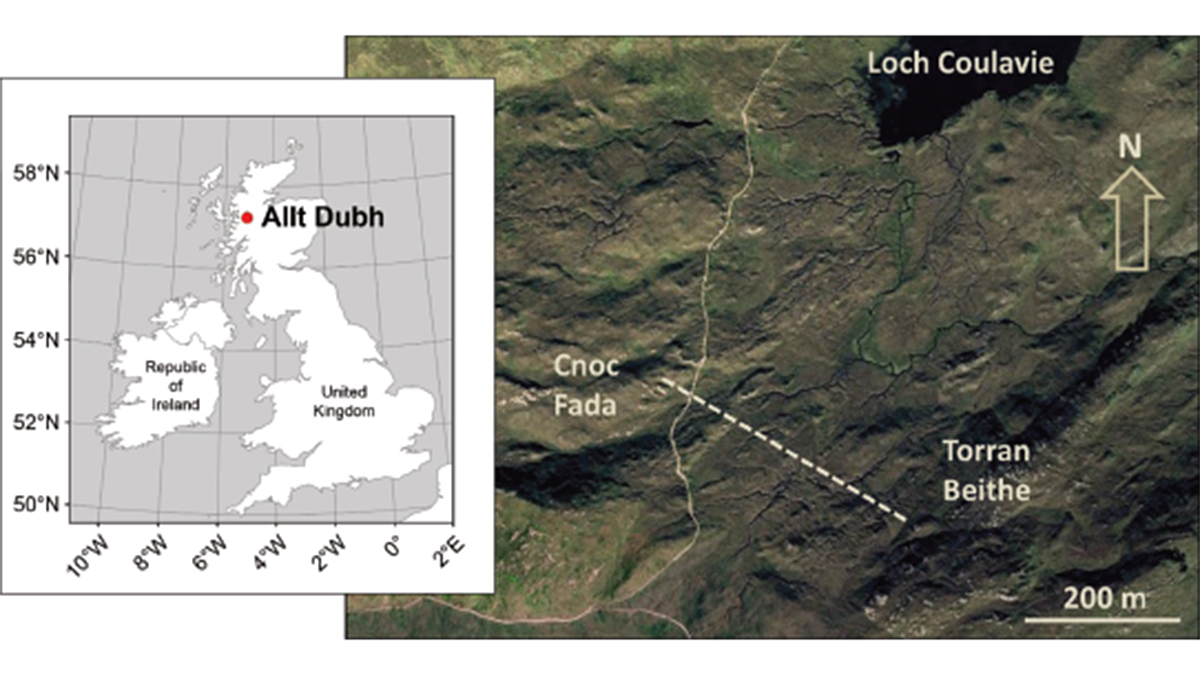
Peat expansion is tightly coupled to the global climate cycle. As a nature-based solution to climate change, we need to know how they will respond to different climate scenarios.
Water Resources Research
Posted inResearch Spotlights
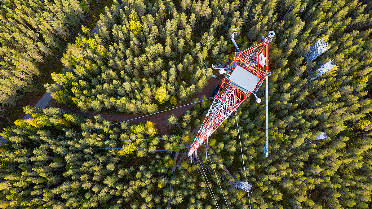
Improving Eddy Tower Evapotranspiration Estimates
Understanding evapotranspiration rates is important. A new technique aims to make their calculation more efficient.
Posted inEditors' Highlights
Let’s Not Forget About Long Droughts
Why do conceptual hydrologic models struggle to model long-term droughts? A new study investigates.
Posted inResearch Spotlights
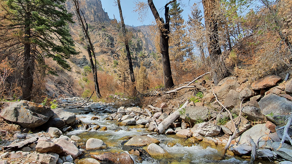
How Wildfires Worsen Flood Risk
A new approach to analyzing watersheds shows how storms occurring after a wildfire can have higher flooding risk than similar storms that occurred before a fire.

Posted inEditors' Highlights
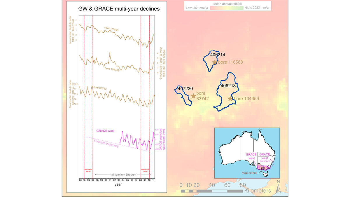
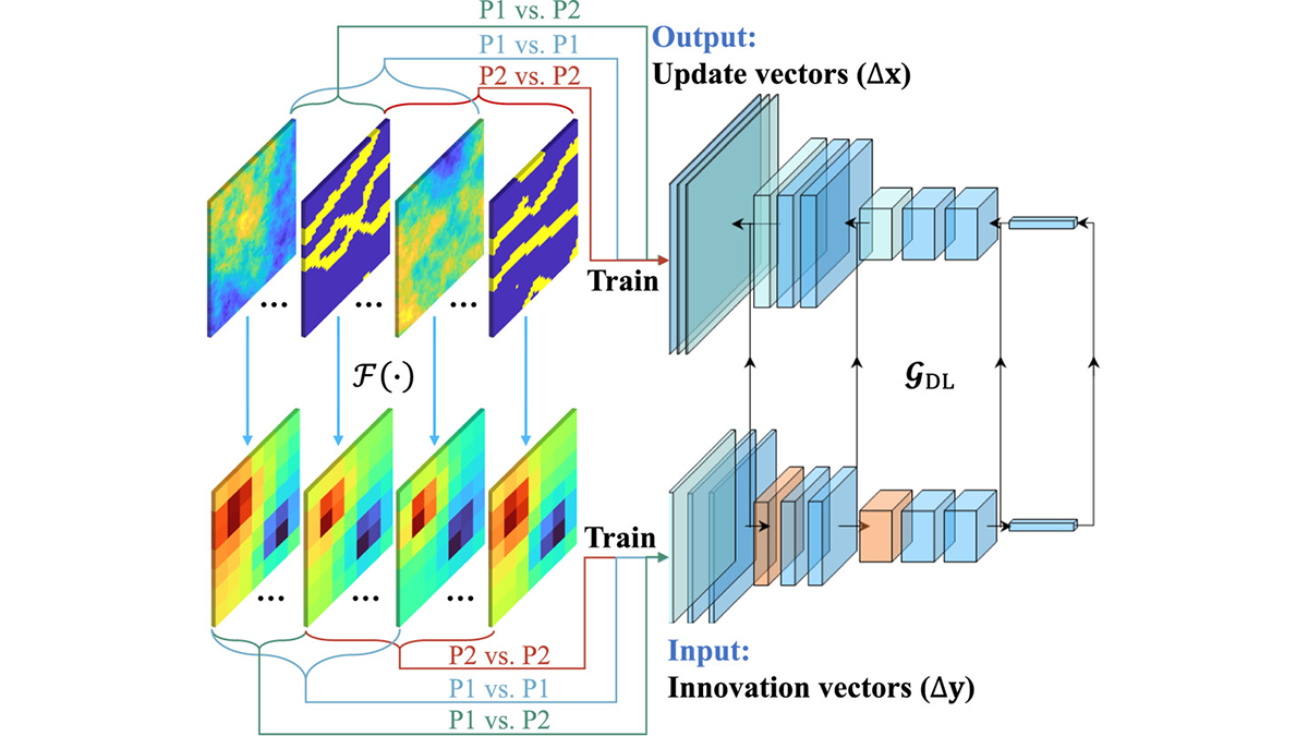
Robustness Through Diversity: Learning from Heterogeneous Aquifers
Learning from diverse aquifer structures, which are all over the place, leads to robust inverse methods.

Posted inResearch Spotlights
A Road Map to Truly Sustainable Water Systems in Space
Future astronauts need efficient, durable, and trustworthy closed-loop systems to provide water for missions lasting months to years.
Posted inEditors' Highlights
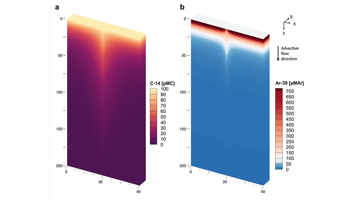
Calibrating the Clocks: Reconciling Groundwater Age from Two Isotopes
A new quantitative model corrects for tracer-based age biases from 39Ar and 14C isotopes leading to more accurate estimates of groundwater residence times.
Posted inEditors' Highlights
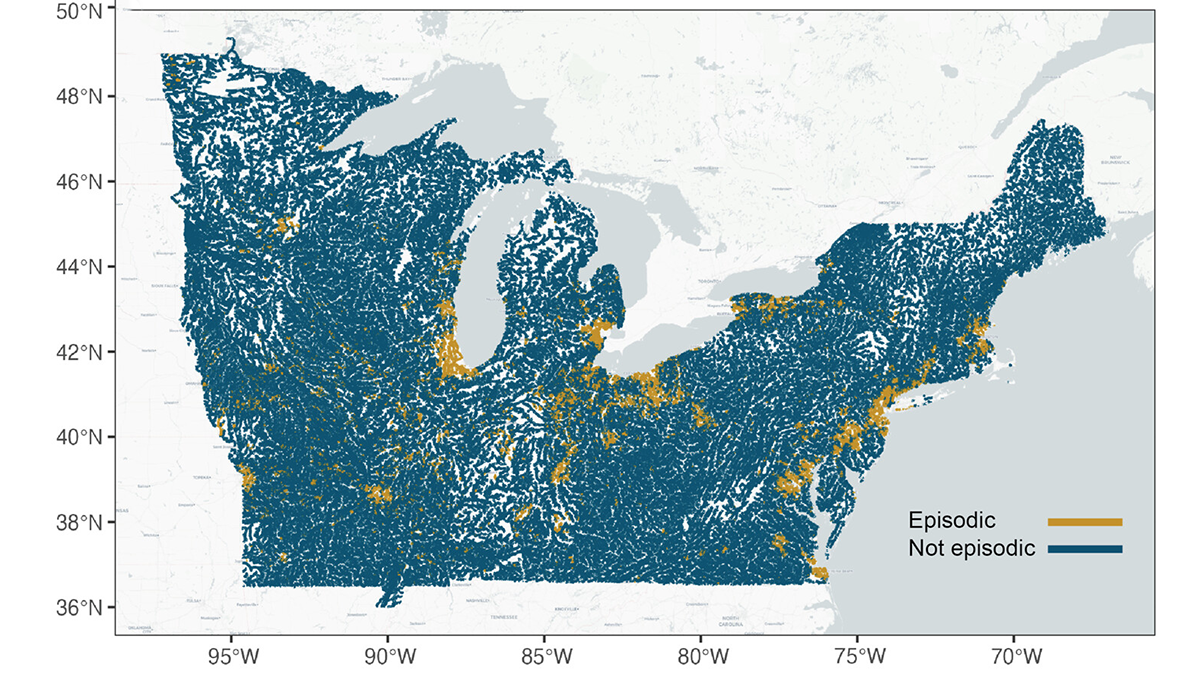
Episodic Tales of Salt
When episodic pulses of road salt hit after a winter storm, the impact can be like a lightning strike for the environment.
Posted inEditors' Highlights
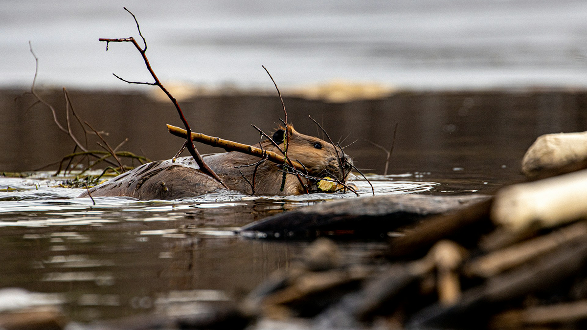
Beavers are Not Concerned About Groundwater
But, scientists are! A new study illuminates the complex interactions of beaver dam induced ponding and floodplain inundation with shallow groundwater storage and flow patterns.