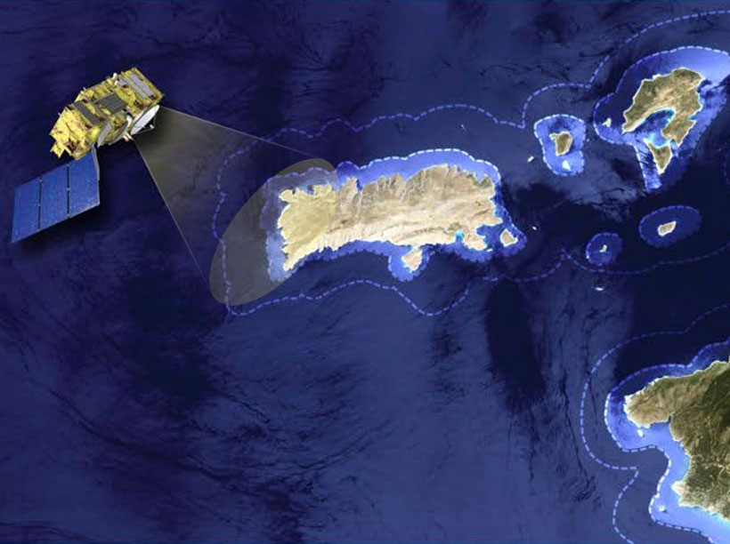
Space-based observations of sea level, ocean dynamics, and sea state via radar altimetry are undergoing a revolution, thanks to the advent of technological improvements such as synthetic aperture radar (SAR) altimetry and to advances in methods to extract geophysical measurements from the raw radar data.
In the coastal zone those enhancements can bring large dividends, helping to elucidate the effects of changes in the oceans on the coastal environments. These applications include observations of coastal currents and the nearshore wave field, detection of storm surges, and monitoring of the rate of sea level rise at the coast. Scientists discussed technical advances and applications last fall at a workshop held in Konstanz, Germany.
Participants lauded how data processed with new waveform models and improvements in processing SAR altimetry echoes approach the instrumental precision limit expected from theory.
Participants lauded how improvements in processing SAR (also known as delay-Doppler) altimetry echoes approach the instrumental precision limit expected from theory. This limit, finer than for conventional altimetry, is critical for coastal applications. Featured talks focused on CryoSat-2, which has pioneered the generation of SAR data and is a precursor to Sentinel-3, scheduled for launch in late 2015.
Other talks reported that Ka band (35-GHz) measurements from the Indo-French mission Satellite with Argos and AltiKa (SARAL) are of very good quality and are particularly suited to observing small-scale oceanic features in the coastal zone. Applications presented at the meeting showed where data on coastal currents and sea level, gleaned from altimetry, compared well with information from buoys, gauges, and high-frequency radars.
These improvements now challenge our understanding of how phenomena that occur on shorter scales influence the open oceans. Submesoscale features (sized at 1–10 kilometers) do not balance with the Coriolis effect, yet they account for a good share of the ocean mixing. Workshop participants agreed that these features need to be accurately characterized and modeled.
In addition, attendees found that experiments comparing high-resolution, high-precision altimetry with models are particularly relevant to broad research goals, such as the aims of the Global Ocean Data Assimilation Experiment (GODAE), and to the exploitation of future altimetry mapping missions, such as NASA’s Surface Water and Ocean Topography (SWOT), planned for 2020.
A new generation of researchers needs to be educated to exploit SAR altimetry data sets.
Finally, workshop participants agreed that a new generation of researchers needs to be educated to exploit SAR altimetry data sets. Promising initiatives include a training course organized by the European Space Agency before the workshop to help scientists understand the research potential of data from CryoSat-2 and Sentinel-3.
The 8th Coastal Altimetry Workshop, with 56 contributions and 80 participants from 19 countries, confirmed that this research community continues to incubate ideas that stimulate better exploitation of altimetry over the entire ocean. Participants noted that the coastal zone is a challenging test bed for new instruments, data retrieval techniques, and applications. Nonetheless, altimetry in the coastal zone has the potential to generate a wealth of data on how coastal environments continue to evolve as climate changes.
All the presentations from this workshop, as well as the previous ones in the Coastal Altimetry series, are available on the International Coastal Altimetry Community website. The workshop’s training material can be found on the European Space Agency’s coastal altimetry pages.
—Paolo Cipollini, National Oceanography Centre, Southampton, UK; email: [email protected]; Stefano Vignudelli, Consiglio Nazionale delle Ricerche, Pisa, Italy; and Jérôme Benveniste, European Space Agency, Frascati, Italy
Citation: Cipollini, P., S. Vignudelli, and J. Benveniste (2015), Coastal altimetry challenges our understanding of short scales in the ocean, Eos, 96, doi:10.1029/2015EO026227. Published on 24 March 2015.
Text © 2015. The authors. CC BY-NC 3.0
Except where otherwise noted, images are subject to copyright. Any reuse without express permission from the copyright owner is prohibited.