
Early in the morning of 6 July 2026, three fatal landslides killed eight people in the refugee camps housing the displaced Rohingya people in Bangladesh. There have long been fears of the potential for fatal landslides in the refugee camps Cox’s Bazar in Bangladesh that house the Rohingya people who were ethnically cleansed from Myanmar. […]
Bangladesh
Posted inNews
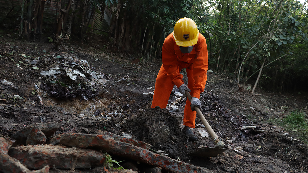
Cleanup of Battery Recycling Sites May Lower Childhood Lead Exposure
Unsound recycling of lead-acid batteries pollutes the soil around houses and agriculture fields in developing countries. Soil remediation might help in lowering the blood lead levels of children.
Posted inNews
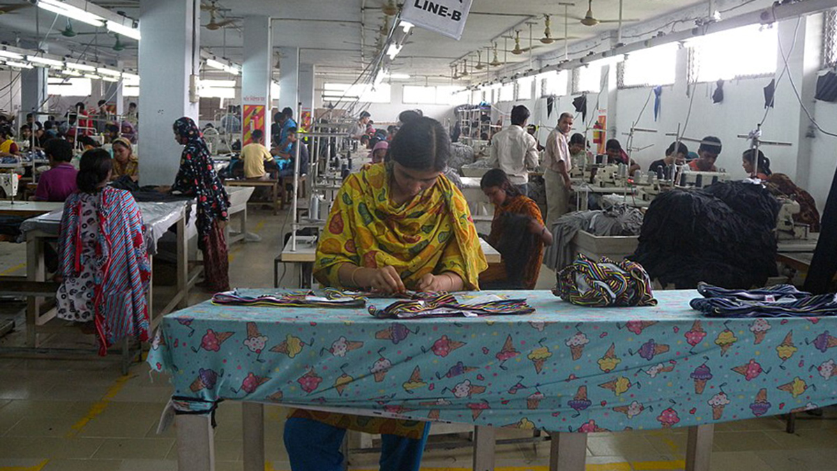
Garment Factories Are Heating Up. Here’s How Workers Can Stay Cool
The solutions are simple, but economic barriers remain high.

Posted inResearch Spotlights
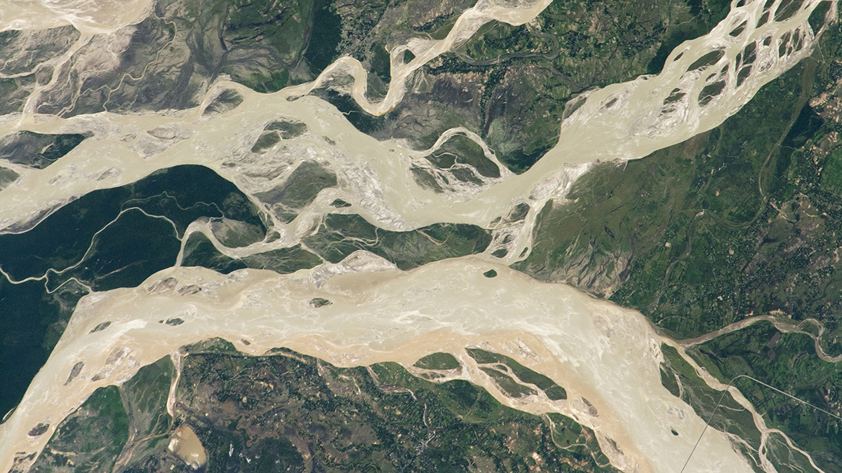
Coherent, Not Chaotic, Migration in the Brahmaputra-Jamuna River
The channel threads in braided river systems may be more predictable than previously thought.

Posted inNews
A New Tornado Database Helps Researchers Worldwide
Thanks to unique geography and atmospheric conditions, the United States is a tornado hot spot, but these deadly whirlwinds also hit Africa, Asia, and Latin America.
Posted inResearch Spotlights
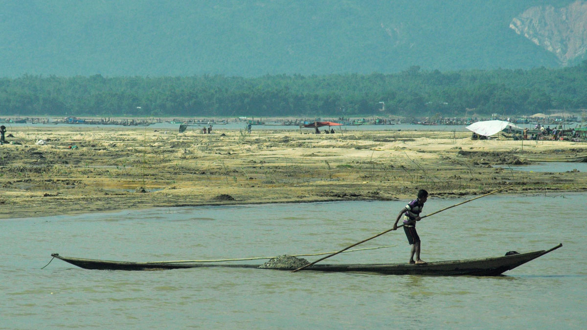
Bangladeshis Feel Increased Consequences of Sedimentation
In northern Bangladesh, residents are losing their livelihoods, homes, and personal safety when water carries sand and gravel into their communities.

Posted inEditors' Highlights
Field Kits Effectively Predict Arsenic Contamination
Field kits used in Bangladesh to test arsenic exposure from contaminated drinking water are effective in comparison to expensive laboratory arsenic tests.

Posted inScience Updates
Tree Rings Reveal a 700-Year Record of Flooding in Bangladesh
Trees tell of a wetter past along the Brahmaputra River and, combined with climate modeling, suggest heightened future flood risks in one of the world’s most densely populated areas.
Posted inResearch Spotlights
Tracking Trace Elements in the Ganga River
Levels of dissolved trace and heavy metals, which can be toxic, are highly variable across the river basin, concentrating in urban areas with high pollution but diluted by inflow from tributaries.