Sand is a foundational element of our cities, our homes, our landscapes and seascapes. How we will interact with the material in the future, however, is less certain.
beaches, coasts, & shorelines
Posted inScience Updates
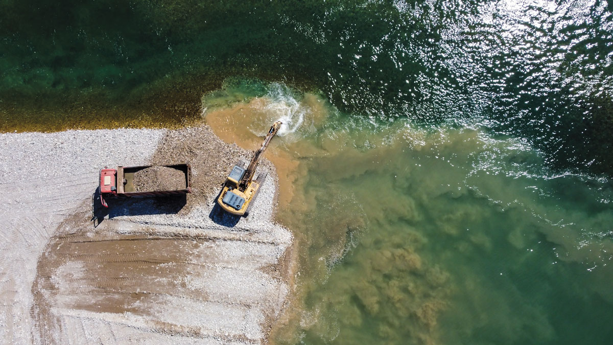
Engineering with Nature to Face Down Hurricane Hazards
Natural and engineered, nature-based structures offer promise for storm-related disaster risk reduction and flood mitigation, as long as researchers can adequately monitor and study them.
Posted inResearch Spotlights
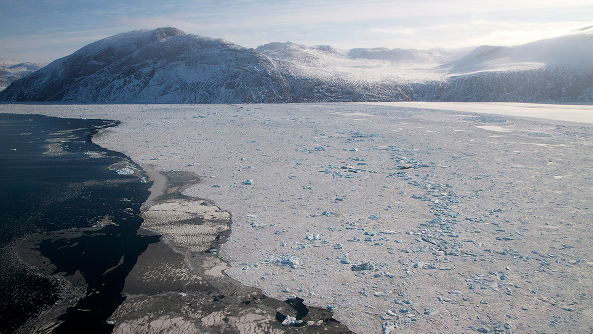
Dissecting Ocean Dynamics in Greenland Fjords
Researchers explored the patterns and drivers of variability in fjords linking the Greenland Ice Sheet and the Atlantic Ocean using numerical simulations and in situ observations.

Posted inResearch Spotlights
Measuring the Ins and Outflows of Estuaries
Scientists modeled monitoring schemes in three different estuaries to determine instrument layouts that could effectively and efficiently measure exchanges of salt water and freshwater.
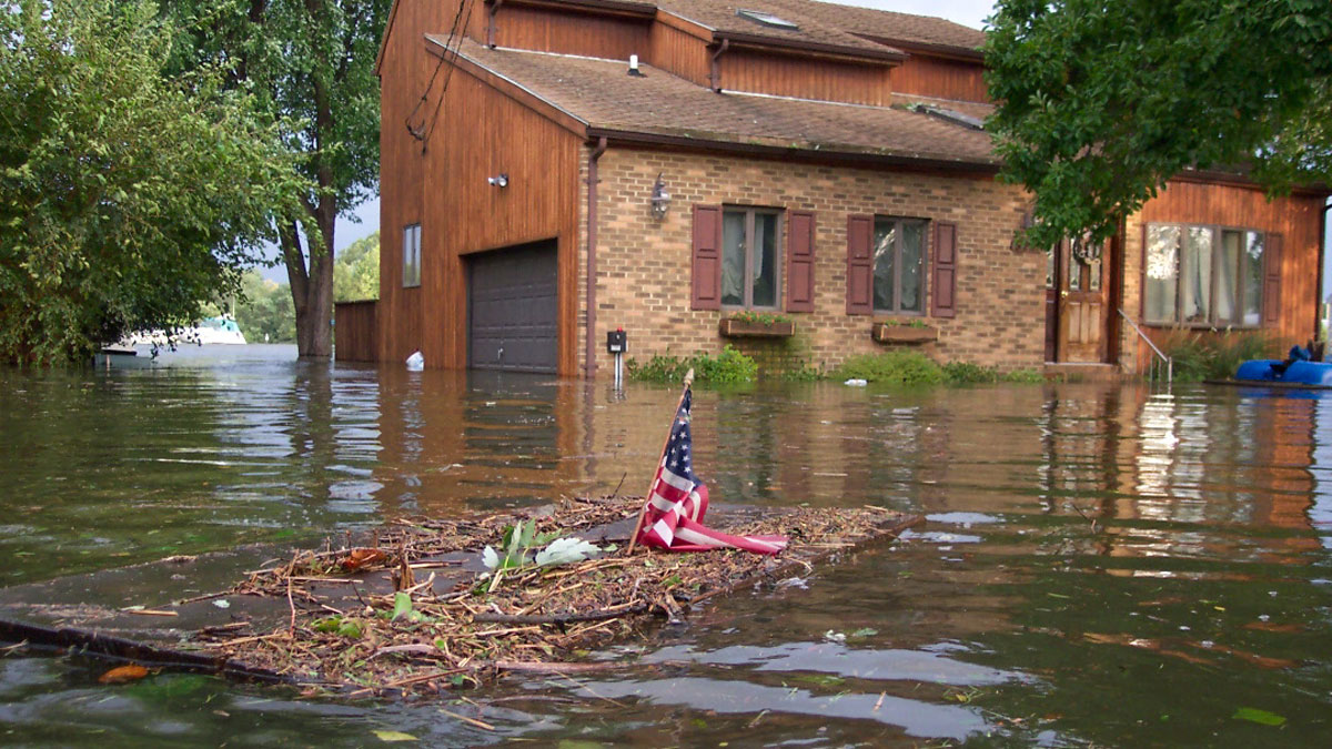
Posted inNews
Managing Mudslide Debris After Fires
California officials faced a conundrum in dealing with mudslides after the Thomas Fire.

Posted inResearch Spotlights
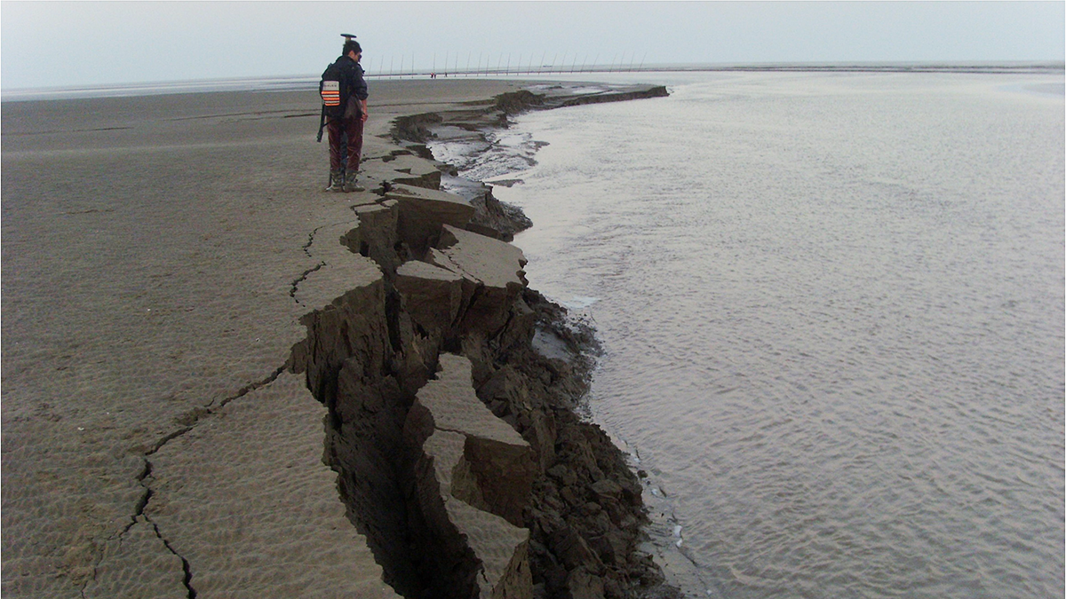
When Projecting Coastal Resilience, Sediment Compaction Is Key
The addition of new sediment helps build up lowland environments like deltas and marshes, but it also compacts materials beneath it—a vital, but often overlooked, factor in landscape evolution studies.
Posted inNews
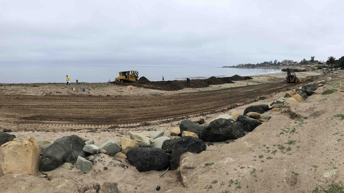
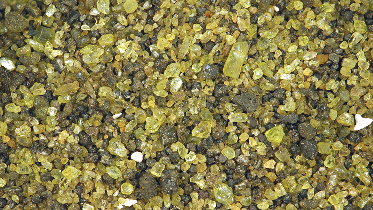
Can These Rocks Help Rein in Climate Change?
Spreading olivine on beaches could accelerate ocean uptake of carbon dioxide and potentially limit climate change. The concept and execution still face some scrutiny from scientists.

Posted inEditors' Highlights
Substantial Advance Towards a Global Coastal Carbon Model
First simulations of a new biogeochemistry-circulation coastal grid refinement demonstrate seamless inclusion of small-scale coastal processes in a state-of-the-art Earth system model.

Posted inEditors' Highlights
Tracking Subsidence on Deltas With Fiber-Optics
Fiberoptic strain meters capable of measuring micron-scale subsidence reveal a Holocene sediment package on the Mississippi Delta that is mostly stable.
Posted inEditors' Vox
Bank Retreat Controls River and Estuary Morphodynamics
Understanding and predicting the geomorphological response of fluvial and tidal channels to bank retreat underpins the robust management of water courses and the protection of wetlands.