After oil and tar washed up on eastern Mediterranean beaches in 2021, scientists devised a way to trace the pollution back to its sources using satellite imagery and mathematics.
beaches, coasts, & shorelines

Posted inResearch Spotlights
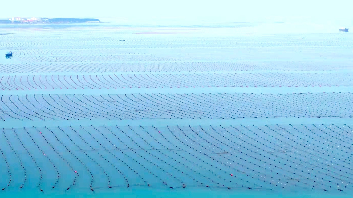
The Shapes of Shrimp Farms Affect Their Groundwater Pollution
New findings may help decisionmakers optimize shrimp farm layouts, which could help improve coastal water quality.

Posted inNews
Seashells and Penguin Bones Reveal Thwaites Glacier’s Quiet Past
Antarctica’s Thwaites and Pine Island Glaciers are melting faster than they have in the past 5,500 years, new evidence shows. Against expectations, their pasts have been remarkably stable.

Posted inEditors' Highlights
Landfalling Hurricanes Intensify Due to Coastal Downwelling
Hurricane winds can lead to coast downwelling, which brings warmer surface water near the coast and can contribute to the intensification of the landfalling hurricane.
Posted inResearch Spotlights
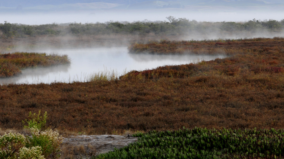
Atmospheric Rivers Help Coastal Wetlands Build Up Sediment
Accounting for these storms and flooding can help experts predict and respond to rising sea levels.
Posted inFeatures
Sea Level Science and Applications Support Coastal Resilience
Known for precise, planetary-scale measurements, NASA is improving its decades-long effort to observe and understand sea levels to help communities prepare for the effects of Earth’s rising ocean.
Posted inEditors' Vox
Can We Better Predict Coastal Change?
A new special collection invites studies on a new era of models and knowledge that provide predictions or insights into predictability in coastal geomorphology.

Posted inScience Updates
“Landslide Graveyard” Holds Clues to Long-Term Tsunami Trends
A new project looks to unearth information about and learn from ancient underwater landslides buried deep beneath the seafloor to support New Zealand’s resilience to natural hazards.

Posted inNews
Muography Array Under Tokyo Bay Spots Meteotsunami Waves
A new study shows how muons can be used to study tide and wave phenomena, helping secure coastal communities.