
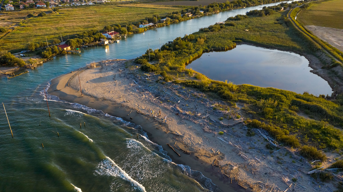
Northeastern and mid-Atlantic tribal nations lived sustainably on the coastline for centuries before colonization. How can their experiences inform strategies for sea level rise adaptation?
beaches, coasts, & shorelines
Posted inENGAGE, News
A Global Map of Human Sewage in Coastal Ecosystems
Prodigious quantities of nitrogen from human waste flow into coastal waters, a study of nearly 135,000 watersheds reveals.

Posted inScience Updates
Forecasting Compound Floods in Complex Coastal Regions
Coastal communities face more frequent floods in which rain, rivers, and ocean storm surge combine forces. A reliable system that accurately predicts inundation from these events is urgently needed.
Posted inFeatures
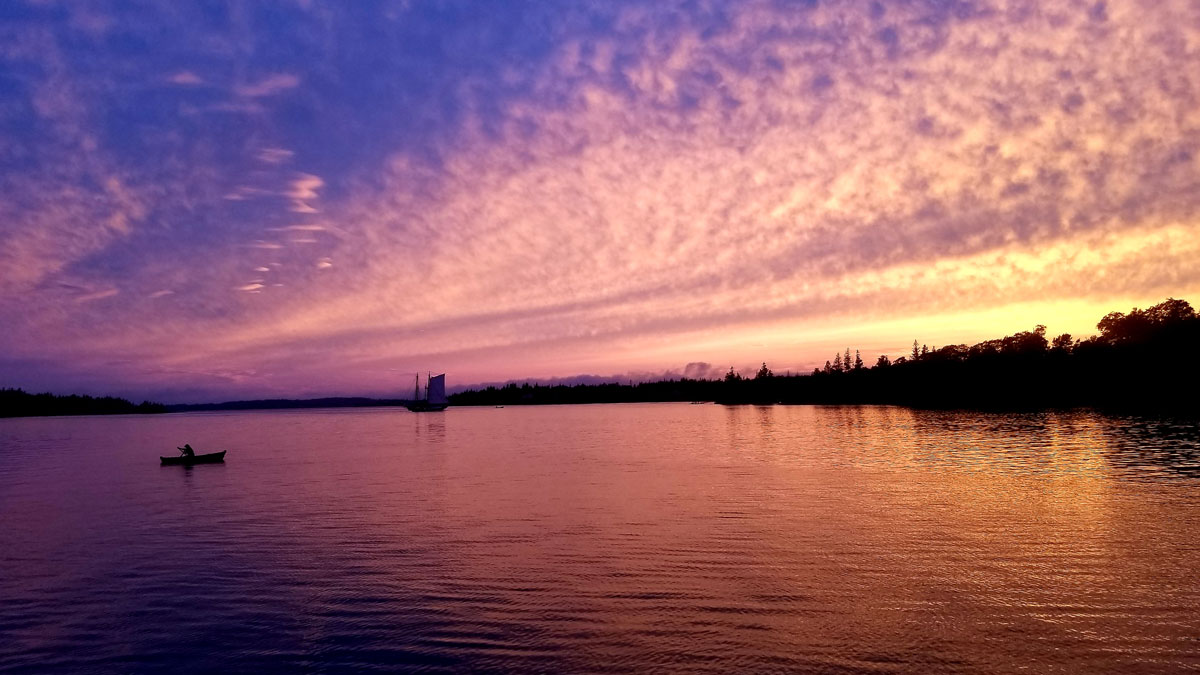
Windjamming on the Warming Gulf of Maine
Living in Geologic Time: A sailing venture reveals economic upheaval along Maine’s enduring coast.

Posted inNews
Kelp’s Carbon Sink Potential Could Be Blocked by Coastal Darkening
Coastal darkening, an environmental threat researchers are only beginning to study, is found to dramatically reduce the productivity of kelp.

Posted inResearch Spotlights
Measuring Sea Level Rise Along the Coast
Scientists created a global map of vertical land motion to show how the solid ground is moving relative to the planet’s rising seas.
Posted inEditors' Highlights
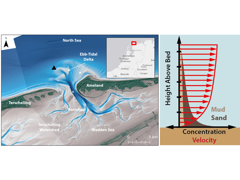
Unravelling Sands and Muds Suspended in Coastal Environments
A new study uses the response of optical and acoustic measurements to derive a sediment composition index for prediction of the relative fractions of mixed sediments in suspension.

Posted inResearch Spotlights
Half of U.S. Tidal Marsh Areas Vulnerable to Rising Seas
Adaptation appears possible in some areas, with northerly marshes having a greater capacity to form new soil and gain elevation, whereas some southerly marshes can migrate inland.

Posted inNews
Forecasters Navigate a Highway to Success Around Lake Victoria
An early-warning system establishes international networks to help communities manage severe weather on Africa’s largest lake.

Posted inNews
Why Trillions of Jellyfish Washed Ashore from Canada to California
Although warming oceans may make population booms and mass strandings more common, the species may ultimately be one of the beneficiaries of climate change.