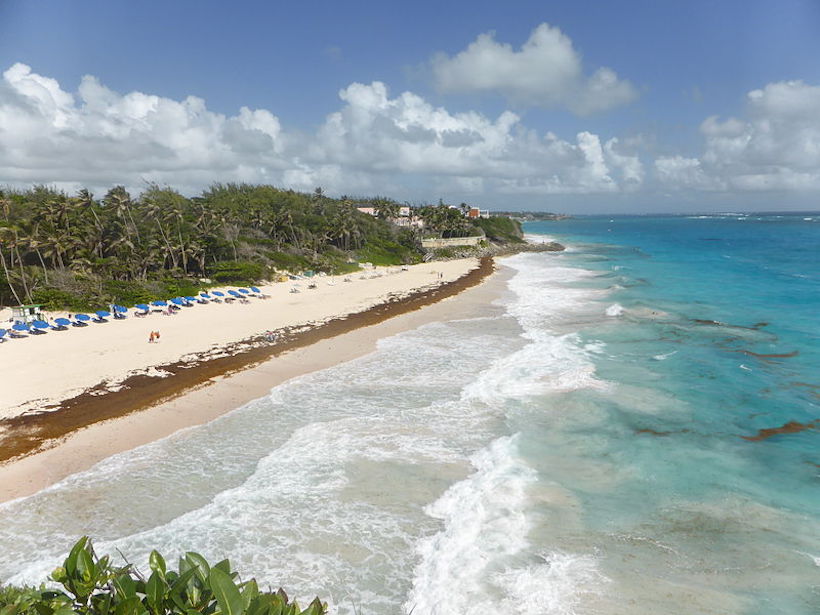
Nearly 10 years ago, Caribbean beaches experienced a sudden onslaught of Sargassum. Today residents continue to explore ways to mitigate the seaweed’s damage to local health and livelihoods.
Caribbean
Scientists Support Local Activities to Rescue the Mesoamerican Reef
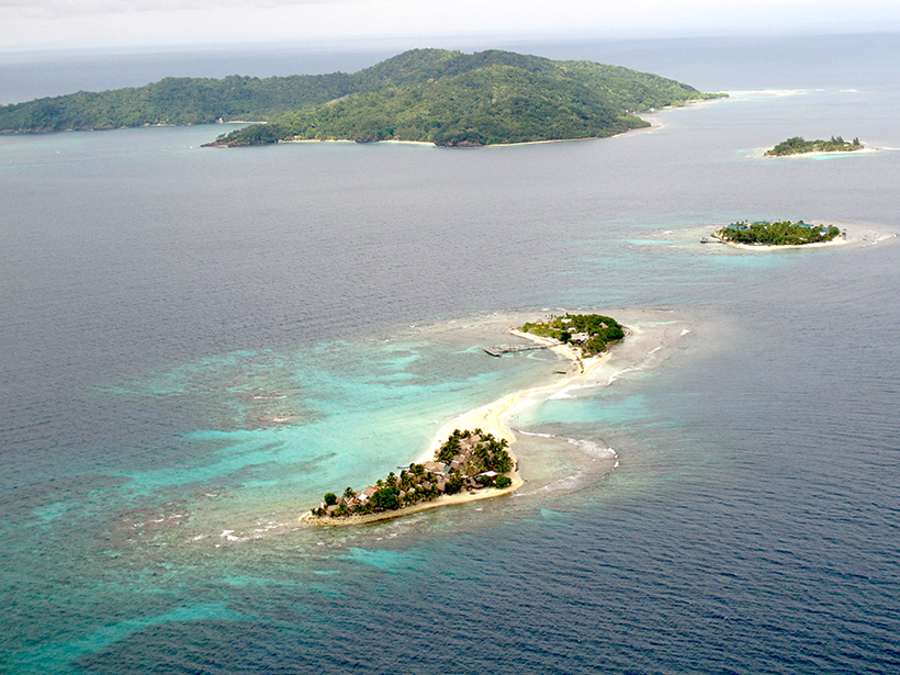
The reef’s report card analyzed 286 sites in Mexico, Belize, Guatemala, and Honduras. Communities, scientists, and governments are working to improve coral and ecosystem resilience.
Severe Cyclones May Have Played a Role in the Maya Collapse
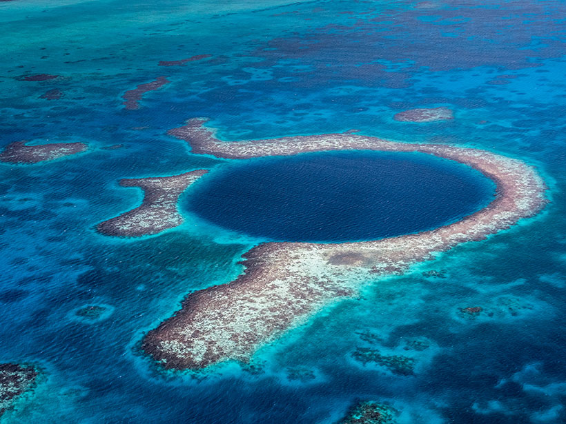
Sediment cores from the Great Blue Hole reveal that a series of extreme storms hit the region after 900. The storms may have irreparably damaged an already stressed Maya population.
Worsening Water Crisis in the Eastern Caribbean
Scientists, policy makers, and residents are concerned that ongoing water shortages and longer periods of drought may worsen as the climate changes and that the Paris Agreement has fallen short.
Extremely High Carbon Return in Certain Volcanic Arcs
By comparing measured volcanic output with subducted carbon fluxes from drill cores, the Lesser Antilles subduction zone shows nearly complete slab carbon release at sub-arc depths.
How Conflict Influenced Land Use in Colombia
Researchers use new maps and statistical techniques to infer how armed conflict influenced land cover in the understudied Caribbean region of the country.
Satellite Data Reveal Growth and Decline of Sargassum
High nutrient levels in 2018 resulted in a nearly 9,000-kilometer belt of Sargassum, a seaweed critical to many marine animals but also a nuisance when it washes up on shorelines, new results reveal.
Weather-Induced Tsunami Waves Regularly Roll Up on U.S. Shores
Roughly 25 meteotsunamis strike coastlines between Maine and Puerto Rico each year, tide gauge data reveal.
Project VoiLA: Volatile Recycling in the Lesser Antilles
Deep water cycle studies have largely focused on subduction of lithosphere formed at fast spreading ridges. However, oceanic plates are more likely to become hydrated as spreading rate decreases.
Advancing Climate Science and Response for Caribbean Islands
Meeting of the Caribbean Climate Modelling Consortium; Kingston, Jamaica, 25 July 2018

