
Les sols en érosion en raison du développement économique ont transporté des sédiments en mer de Chine méridionale… et jusque dans le squelette corallien.
cities

Posted inNews
The Inequality of Heat Stress
Residents in historically redlined neighborhoods deal with greater heat stress than other areas.
Posted inResearch Spotlights
La química de los corales refleja la expansión económica del sudeste asiático
La erosión del suelo derivada del desarrollo económico mueve sedimentos hacia el mar del sur de China y también hacia los esqueletos de los corales.

Posted inNews
Imágenes de satélite revelan que los paisajes urbanos generan nubes
Los cielos cubriendo las ciudades de los EE.UU. tienen más nubes que las áreas que las rodean.

Posted inNews
शहरी हरियाली के लाभों का आंकलन
शहर में हरियाली डिज़ाइन करते समय शहर के समुदायों को शायद यह सोचना पड़े कि जल अवशोषण या शीतलन, कौन से लाभ ज़्यादा ज़रूरी हैं।

Posted inNews
Cityscapes Create Cloud Cover, Satellite Images Reveal
The skies over U.S. cities are cloudier than their surrounding areas.
Posted inResearch Spotlights
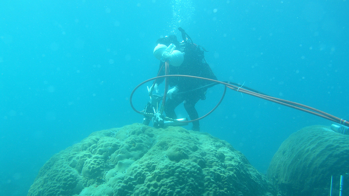
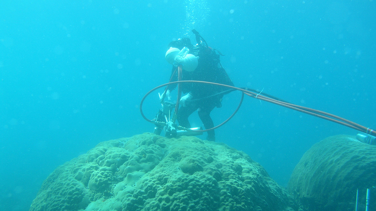
Coral Chemistry Reflects Southeast Asia’s Economic Expansion
Soil erosion from economic development sent sediments into the South China Sea—and into coral skeletons.

Posted inNews
Groundwater Pumping Is Causing Mexico City to Sink
Researchers say knowing how much water is being extracted is crucial for addressing infrastructure and water supply crises in the capital.

Posted inENGAGE, News
Urban Water Conservation Success in the Colorado River Basin
In the past few decades, cities in Arizona, Colorado, and Nevada have vastly increased their water use efficiency. They’ve also learned lessons that can inform other cities’ efforts.