Source: GeoHealth
A translation of this article was made by Wiley. 本文由Wiley提供翻译稿。
A translation of this article was made possible by a partnership with Planeteando. Una traducción de este artículo fue posible gracias a una asociación con Planeteando.
The United Nations has identified improving the walkability and bikeability of cities as a key goal in efforts to reduce dependence on greenhouse gas–emitting automobiles and promote routine exercise for public health. However, increased walking and cycling can come with their own health risks.
Time spent in the open air, in addition to other factors, increases exposure to airborne pollutants, for example. The most harmful category of pollutants to human health includes inhalable particles smaller than 2.5 micrometers, referred to as PM2.5. It has been estimated that more than 4 million premature deaths worldwide are attributable to these pollutants each year.
To help reduce health risks from this pollution, Tong et al. developed a new approach for estimating ground-level PM2.5 concentrations from satellite observations and incorporated it into a mobile mapping application that identifies routes through Hong Kong to minimize pedestrians’ exposure to PM2.5.
The researchers combined several data sources to build their framework, which accounts for city-specific factors that produce and concentrate PM2.5. Sixteen air quality monitoring stations provided hourly PM2.5 estimates across the city. Landsat 8–derived data products provided maps of vegetation, impervious surfaces, and aerosol density. Weather data were incorporated through the use of NASA’s Goddard Earth Observing System-Forward Processing (GEOS-FP) forecasts, and road data from OpenStreetMap helped quantify the contributions of automobile and bus traffic.
The input data were used to estimate real-time PM2.5 concentrations on a grid across the city. That grid was then overlaid by a graph with nodes representing street intersections and edges representing the streets themselves. Each edge was assigned a pollution “cost” based on the PM2.5 in the grid cells it crosses. The pollution breathed during a journey between two nodes is the sum of the costs of the edges that most efficiently connect them.
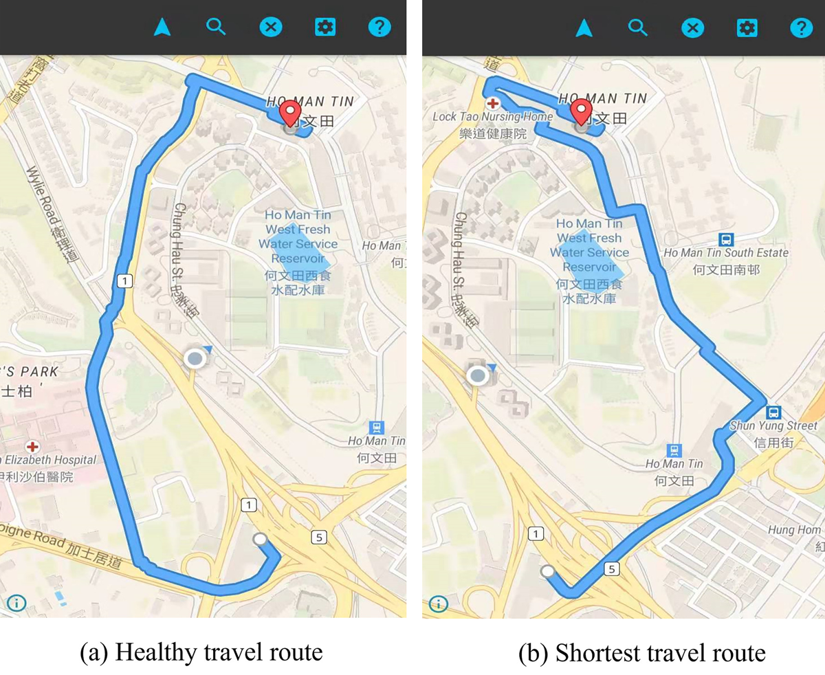
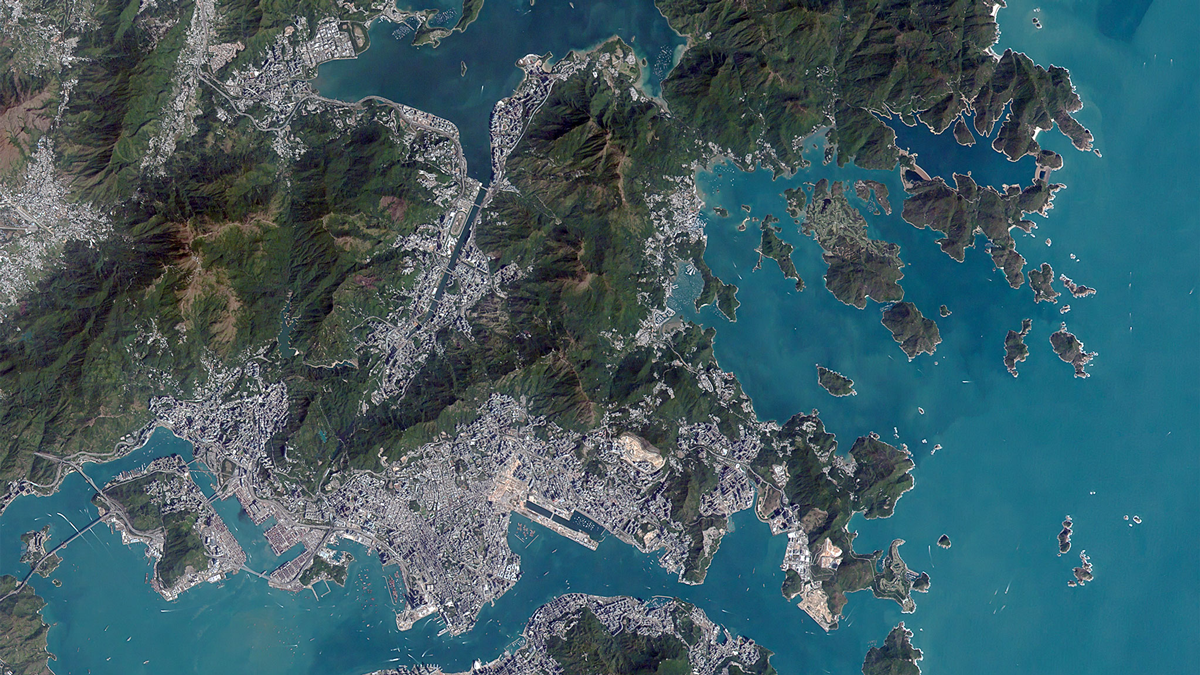
The Hong Kong case study included PM2.5 estimates for 70,788 roads. Using the developed app, which is visually similar to commercial mapping apps, a user can compare the fastest and healthiest routes between two points. The researchers observed that healthy route planning could reduce PM2.5 exposure by 5%–25%. In one highlighted example, the app indicated that choosing a route between two Hong Kong universities that was 100 meters longer than the shortest available route would result in a 5%–10% reduction in breathed pollution.
The researchers note that the generalizability of their approach for estimating high-resolution PM2.5 levels means it may be applicable in other cities and useful in other route planning applications and services to minimize people’s pollution exposure. (GeoHealth, https://doi.org/10.1029/2022GH000669, 2022)
—Morgan Rehnberg, Science Writer