• About
  • Sections
  • Topics
    • Climate
    • Earth Science
    • Oceans
    • Space & Planets
    • Health & Ecosystems
    • Culture & Policy
    • Education & Careers
    • Opinions
  • Projects
    • ENGAGE
    • Editors’ Highlights
    • Editors’ Vox
    • Eos en Español
    • Eos 简体中文版
    • Print Archive
  • Blogs
    • Research & Developments
    • The Landslide Blog
  • Newsletter
  • Submit to Eos
  • AGU.org
  • Career Center
  • Join AGU
  • Give to AGU
  • About
  • Sections
  • Topics
    • Climate
    • Earth Science
    • Oceans
    • Space & Planets
    • Health & Ecosystems
    • Culture & Policy
    • Education & Careers
    • Opinions
  • Projects
    • ENGAGE
    • Editors’ Highlights
    • Editors’ Vox
    • Eos en Español
    • Eos 简体中文版
    • Print Archive
  • Blogs
    • Research & Developments
    • The Landslide Blog
  • Newsletter
  • Submit to Eos
Skip to content
  • AGU.org
  • Career Center
  • Join AGU
  • Give to AGU
Eos

Eos

Science News by AGU

Support Eos
Sign Up for Newsletter
  • About
  • Sections
  • Topics
    • Climate
    • Earth Science
    • Oceans
    • Space & Planets
    • Health & Ecosystems
    • Culture & Policy
    • Education & Careers
    • Opinions
  • Projects
    • ENGAGE
    • Editors’ Highlights
    • Editors’ Vox
    • Eos en Español
    • Eos 简体中文版
    • Print Archive
  • Blogs
    • Research & Developments
    • The Landslide Blog
  • Newsletter
  • Submit to Eos

Hong Kong

Satellite image of a typhoon.
Posted inEditors' Highlights

Impacts of Urban Heat and Friction on a Tropical Cyclone

by Matei Georgescu 13 February 20257 February 2025

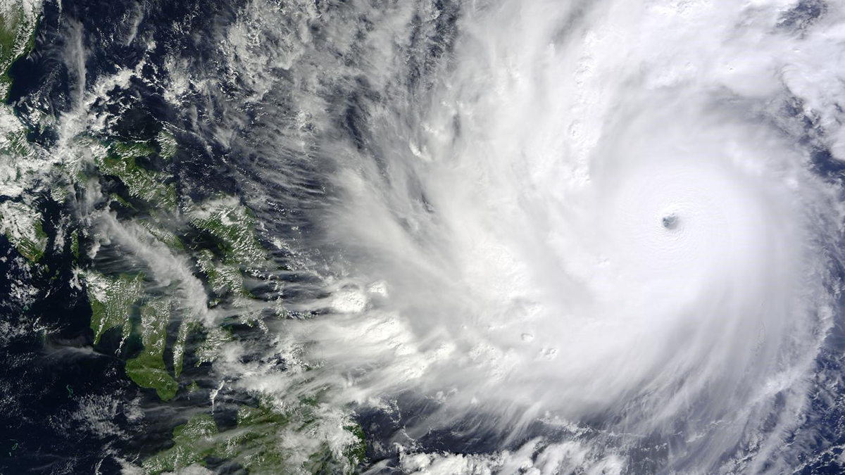
A new computer modeling-based study demonstrates dual mechanisms that reduce pre- and post-landfall tropical cyclone intensity.
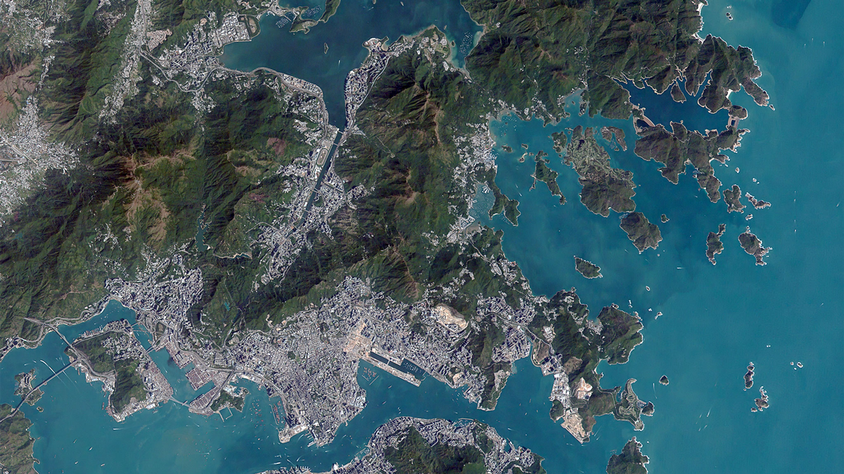
Vista de satélite de Hong Kong y el mar adyacente. La ciudad se asienta principalmente en los valles de la zona y cercana a las costas, mientras que las montañas presentan pocas manchas urbanas.
Posted inResearch Spotlights

Mapeando estimaciones de la contaminación a nivel de calle para encontrar rutas más seguras

by Morgan Rehnberg 20 December 202220 December 2022

Un nuevo enfoque de alta resolución que combina múltiples tipos de datos detección remota de la contaminación permitió a investigadores desarrollar una aplicación que mapea las rutas más saludables para los transeúntes urbanos.

香港的卫星影像
Posted inResearch Spotlights

通过街道污染估计图选择更健康的通行路线

by Morgan Rehnberg 1 December 20221 December 2022

研究人员采用一种新的高分辨率方法结合多种类型的遥感污染数据,开发出一款应用程序,可为城市通勤者绘制最健康的路线。

Satellite view of Hong Kong
Posted inResearch Spotlights

Mapping Street-Level Pollution Estimates to Reveal Safer Routes

by Morgan Rehnberg 28 November 202220 December 2022

A new high-resolution approach combining multiple types of remotely sensed pollution data allowed researchers to develop an app that maps the healthiest routes for urban commuters.

香港和维多利亚港
Posted inResearch Spotlights

改善粤港澳大湾区空气质量

Sarah Stanley, Science Writer by Sarah Stanley 27 May 202117 March 2023

新的模拟研究显示,减少粤港澳大湾区以外地区的居住和农业污染,可以改善这个特大都市带乃至整个中国的公共健康状况。

Hong Kong and Victoria Harbor
Posted inResearch Spotlights

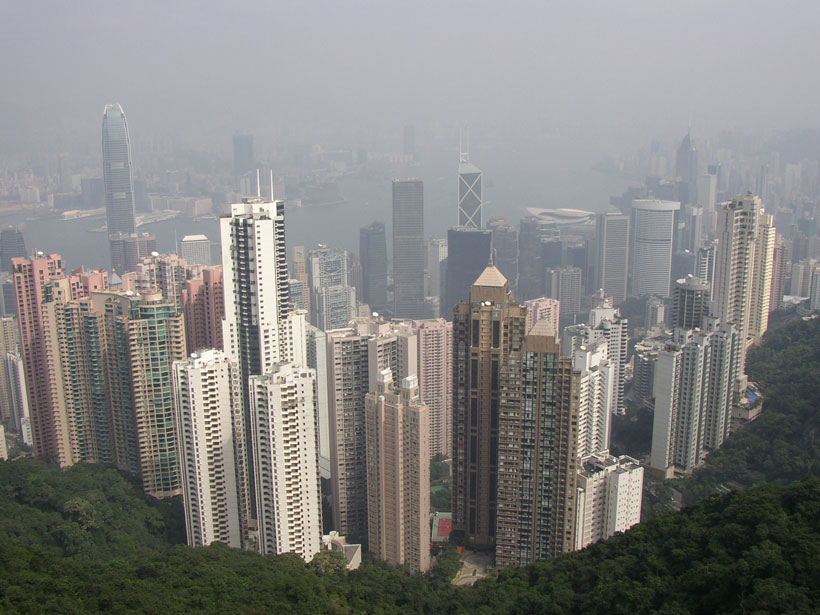
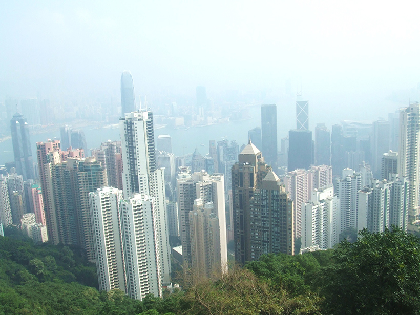
Improving Air Quality in China’s Greater Bay Area

Sarah Stanley, Science Writer by Sarah Stanley 28 April 20215 January 2023

New simulations show how reducing residential and agricultural pollution outside the Greater Bay Area could improve public health inside this megalopolis and across China.

Models show Hong Kong may be at greater tsunami risk than previously thought.
Posted inResearch Spotlights

Hong Kong, Macau at Greater Tsunami Risk Than We Thought

by W. Yan 19 October 201614 April 2022

Researchers assess tsunami risk in the South China Sea based on models of seismic slip along the Manila megathrust.

Smog and Hong Kong’s skyline, seen from Victoria Peak.
Posted inResearch Spotlights

Chemical Boosts Ozone Production over Southern China

by Terri Cook 27 May 201613 February 2023

The presence of nitryl chloride in polluted urban air can enhance the production of ozone by up to 41%, according to a new modeling study constrained by ground-based measurements.

A view of a Washington, D.C., skyline from the Potomac River at night. The Lincoln Memorial (at left) and the Washington Monument (at right) are lit against a purple sky. Over the water of the Potomac appear the text “#AGU24 coverage from Eos.”

Features from AGU Publications

Research Spotlights

Mapping the Ocean Floor with Ancient Tides

6 May 20256 May 2025
Editors' Highlights

First Benchmarking System of Global Hydrological Models

7 May 20257 May 2025
Editors' Vox

Decoding Crop Evapotranspiration

6 May 20256 May 2025
Eos logo at left; AGU logo at right

About Eos
ENGAGE
Awards
Contact

Advertise
Submit
Career Center
Sitemap

© 2025 American Geophysical Union. All rights reserved Powered by Newspack