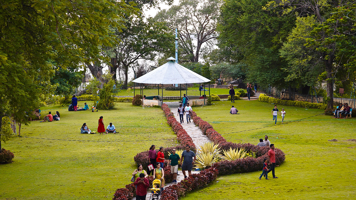
• About
  • Sections
  • Topics
    • Climate
    • Earth Science
    • Oceans
    • Space & Planets
    • Health & Ecosystems
    • Culture & Policy
    • Education & Careers
    • Opinions
  • Projects
    • ENGAGE
    • Editors’ Highlights
    • Editors’ Vox
    • Eos en Español
    • Eos 简体中文版
    • Print Archive
  • Blogs
    • Research & Developments
    • The Landslide Blog
  • Newsletter
  • Submit to Eos
  • AGU.org
  • Career Center
  • Join AGU
  • Give to AGU
  • About
  • Sections
  • Topics
    • Climate
    • Earth Science
    • Oceans
    • Space & Planets
    • Health & Ecosystems
    • Culture & Policy
    • Education & Careers
    • Opinions
  • Projects
    • ENGAGE
    • Editors’ Highlights
    • Editors’ Vox
    • Eos en Español
    • Eos 简体中文版
    • Print Archive
  • Blogs
    • Research & Developments
    • The Landslide Blog
  • Newsletter
  • Submit to Eos
Skip to content
  • AGU.org
  • Career Center
  • Join AGU
  • Give to AGU
Eos

Eos

Science News by AGU

Support Eos
Sign Up for Newsletter
  • About
  • Sections
  • Topics
    • Climate
    • Earth Science
    • Oceans
    • Space & Planets
    • Health & Ecosystems
    • Culture & Policy
    • Education & Careers
    • Opinions
  • Projects
    • ENGAGE
    • Editors’ Highlights
    • Editors’ Vox
    • Eos en Español
    • Eos 简体中文版
    • Print Archive
  • Blogs
    • Research & Developments
    • The Landslide Blog
  • Newsletter
  • Submit to Eos

cities

Posted inEditors' Highlights

Urbanization and Surface Water Loss Go Together  

by Ana Barros 24 February 20229 March 2023

Mapping surface water loss from satellite data confirms decreases away from urban areas. A simple exponential distance-decay model approximates the impact of urbanization.

Time series of the vertical daily average displacement of continuous GNSS station.
Posted inEditors' Highlights

Continuity is the Father of Success

by Yosuke Aoki 15 February 202215 November 2022

Geodetic measurements indicate that Three Sisters Volcano uplifted by almost 300 millimeters in the past 25 years without significant anomalies at the surface.

A DAS array captures a series of earthquakes and aftershocks that shook the Ridgecrest area in Southern California in 2019.
Posted inResearch Spotlights

Fiber-Optic Cables Can Produce High-Resolution Underground Maps

by Jack Lee 15 February 202214 May 2024

Telecom fiber repurposed as distributed acoustic sensing arrays can image near-surface structure and potentially improve seismic hazard mapping in urban areas.

The Pyramid of the Sun at Teotihuacan
Posted inNews

Mapping Teotihuacan’s Past, Present, and Future

by Humberto Basilio 6 January 20229 May 2023

A new lidar project reveals how mining and urban expansion have put one of Mexico’s most iconic cultural heritage sites at risk.

Five people planting young trees in Houston field
Posted inNews

Native Super Trees Could Provide Climate Solutions to Houston

by Graycen Wheeler 15 December 20211 June 2023

A Houston nonprofit identified 14 native “super tree” species that are particularly promising for mitigating climate change and public health concerns.

An aerial view of Vancouver
Posted inNews

Crowdsourced Science Helps Map Vancouver’s “Smellscape”

by Brittney J. Miller 14 December 202127 March 2023

Exposure to stinky odors can affect human health, but quantifying smells can be difficult.

Birds flying over a city at dawn
Posted inNews

Bright Lights, Big Cities Attract Migratory Birds

by Brian Phan 14 December 202127 March 2023

The first stopover site map for U.S. migratory birds reveals the attraction of urban light pollution.

View of the Los Angeles basin with mountains in the background
Posted inNews

Earthquakes Ripple Through 3D Printed Models of Los Angeles

Katherine Kornei, Science Writer by Katherine Kornei 13 December 202127 March 2023

Using stainless steel models, researchers find that high-frequency seismic waves—the most damaging to buildings—are attenuated in the Los Angeles sedimentary basin.

Plot comparing the efficiency with which flood risk management is carried out and the effect on addressing socio-economic inequality.
Posted inEditors' Highlights

Pro-Poor Flood Risk Management Can Reduce Urban Inequality

by Jim Hall 7 December 202121 February 2023

Rich people’s aversion to flood risk results in poor people living in the most vulnerable locations poverty. Pro-poor flood risk management policies could have a significant impact on inequality.

Canoers paddle along the Anacostia near Kenilworth Park in Washington, D.C.
Posted inFeatures

The Capital’s Waterways Could Be Swimmable by 2030

Mark Betancourt, Freelance Journalist by Mark Betancourt 22 November 202124 November 2021

Scientists, community groups, and the Clean Water Act are behind Washington, D.C.’s massive project to reduce combined sewer overflows by 96%.

Posts pagination

Newer posts 1 … 5 6 7 8 9 … 16 Older posts
A view of a Washington, D.C., skyline from the Potomac River at night. The Lincoln Memorial (at left) and the Washington Monument (at right) are lit against a purple sky. Over the water of the Potomac appear the text “#AGU24 coverage from Eos.”

Features from AGU Publications

Research Spotlights

Mapping the Ocean Floor with Ancient Tides

6 May 20256 May 2025
Editors' Highlights

First Benchmarking System of Global Hydrological Models

7 May 20257 May 2025
Editors' Vox

Decoding Crop Evapotranspiration

6 May 20256 May 2025
Eos logo at left; AGU logo at right

About Eos
ENGAGE
Awards
Contact

Advertise
Submit
Career Center
Sitemap

© 2025 American Geophysical Union. All rights reserved Powered by Newspack