A new study finds the lofted pollutants came from major European cities, but further study is required to fully understand the plastics’ transport and deposition processes.
cities

Posted inENGAGE, News
Mapeando el pasado, presente y futuro de Teotihuacan
Un nuevo proyecto con tecnología lidar revela cómo la minería y la expansión urbana han puesto en riesgo a uno de los sitios del patrimonio cultural más icónicos de México.

Posted inResearch Spotlights
Estimating Heat Wave Frequency and Strength: A Chicago Case Study
Numerical modeling shows widespread impacts of the 2012 Chicago heat wave, shedding light on heat wave and urban heat island impacts on the city’s temperature.
Posted inENGAGE, Research Spotlights
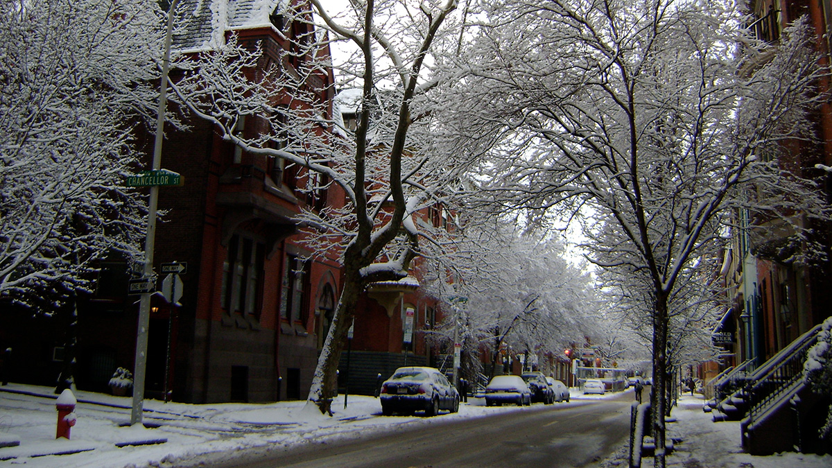
Road Salts Linked to High Sodium Levels in Tap Water
Use of deicing agents may sometimes raise sodium levels in drinking water beyond healthy limits for people on salt-restricted diets.
Posted inNews
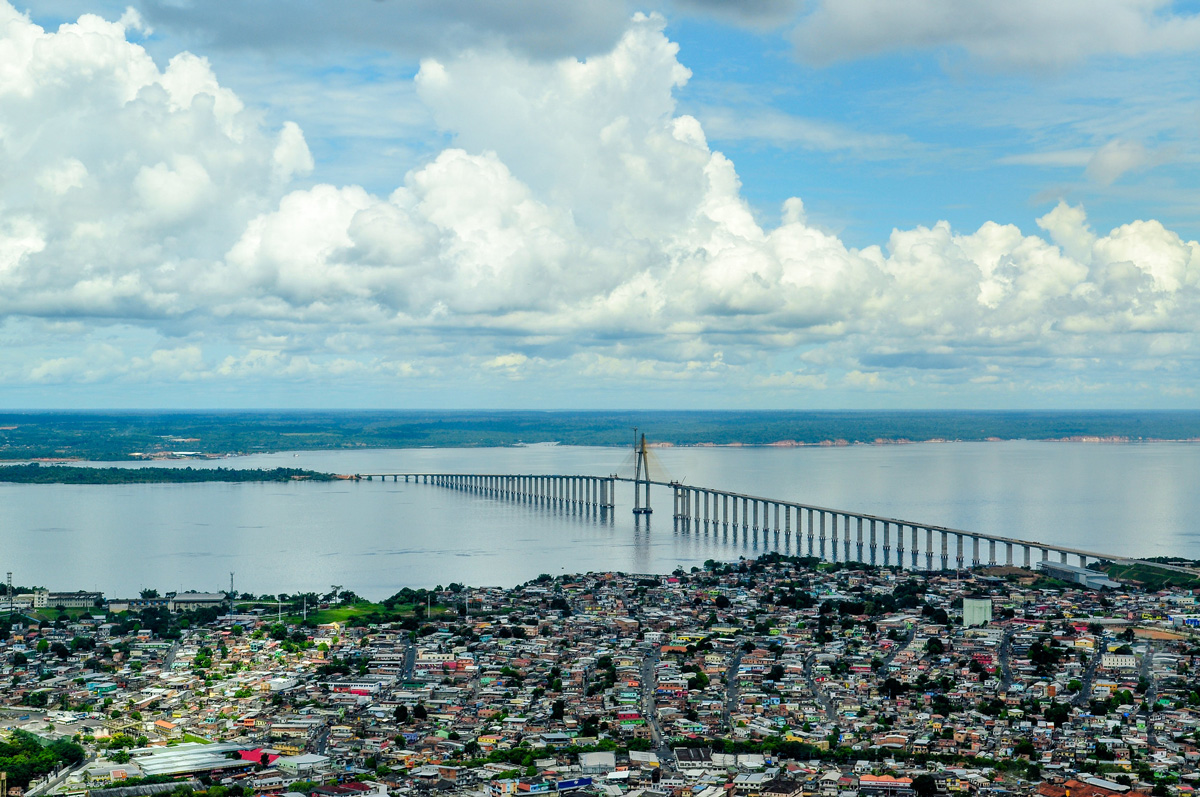
Pollution Is Disrupting Rain Cycles in the Amazon
A team of researchers in Brazil and the United States uncovered the importance of the mechanism of oxidation—a process with the potential to affect climate and precipitation across the tropics.
Posted inNews
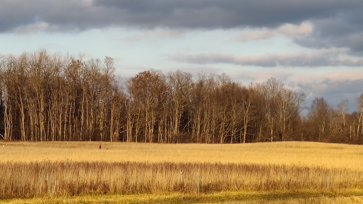
Forest Edges Are More, Not Less, Productive Than Interior Forest
The boundaries of northeastern U.S. forests suck in more carbon dioxide than previously thought.

Posted inNews
Weighing the Benefits of Urban Greening
City communities may need to consider whether water absorption or cooling benefits are more important when designing urban greening.
Posted inEditors' Highlights
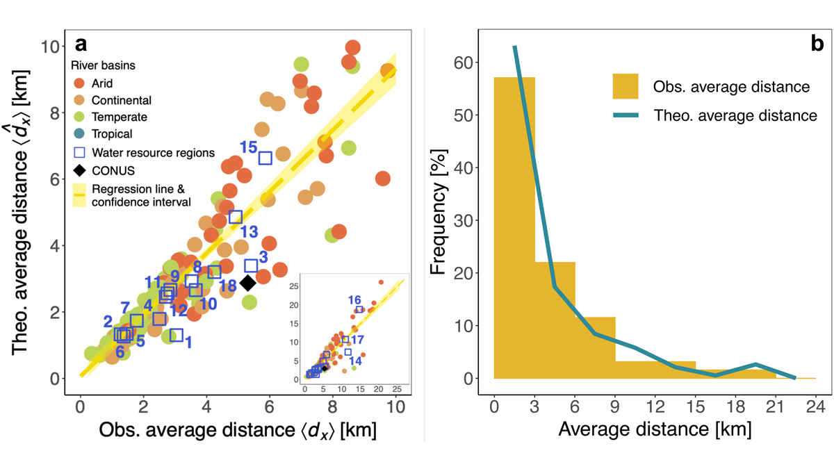
Urbanization and Surface Water Loss Go Together
Mapping surface water loss from satellite data confirms decreases away from urban areas. A simple exponential distance-decay model approximates the impact of urbanization.
Posted inEditors' Highlights
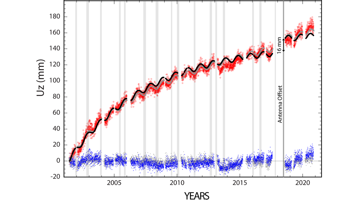
Continuity is the Father of Success
Geodetic measurements indicate that Three Sisters Volcano uplifted by almost 300 millimeters in the past 25 years without significant anomalies at the surface.
Posted inResearch Spotlights
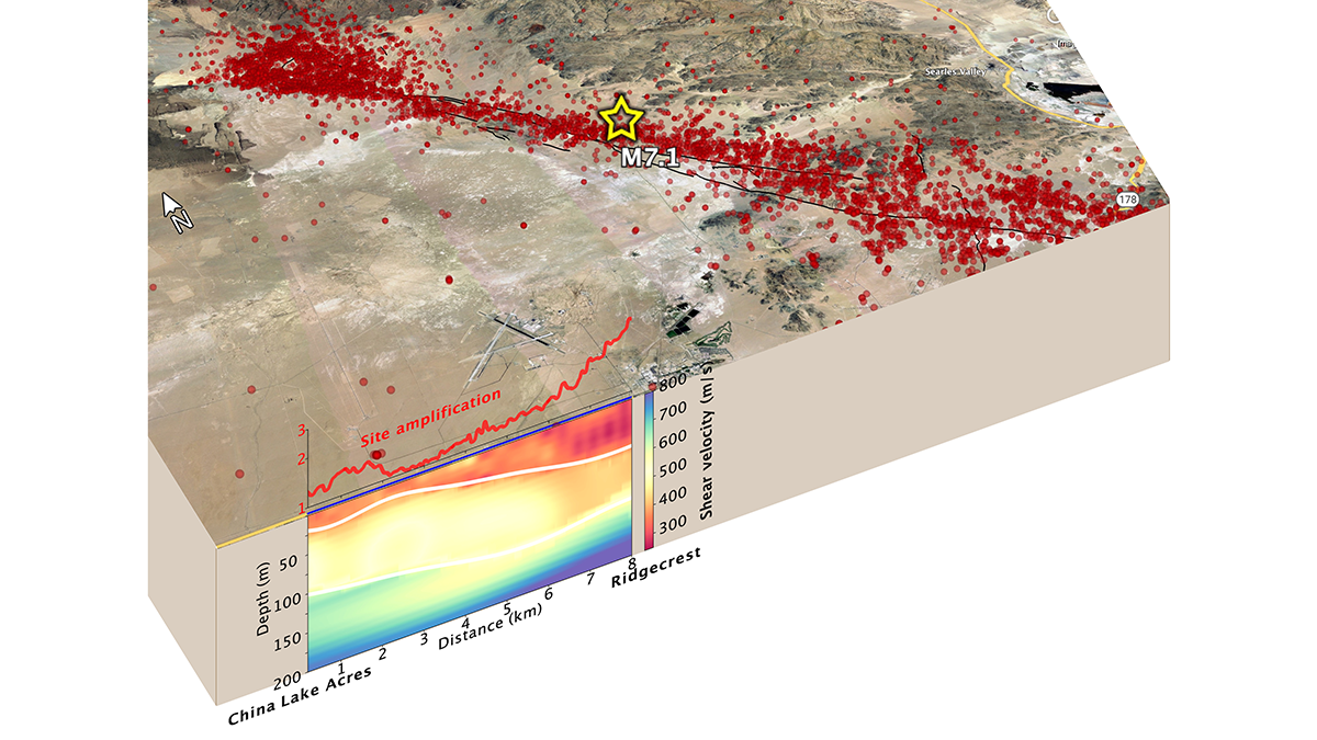
Fiber-Optic Cables Can Produce High-Resolution Underground Maps
Telecom fiber repurposed as distributed acoustic sensing arrays can image near-surface structure and potentially improve seismic hazard mapping in urban areas.