A new information-processing framework helps researchers tease out the factors driving ecological shifts over short timescales.
data management

Posted inResearch Spotlights
A New Baseline to Monitor Earth’s Dynamic Surface
Researchers devise a new mathematical approach to combine space- and ground-based observations into an alternative reference frame for monitoring the changing positions of Earth’s features.

Posted inScience Updates
A New Tool for Deep-Down Data Mining
GeoDeepDive combines library science, computer science, and geoscience to dive into repositories of published text, tables, and figures and return valuable information.
Posted inScience Updates
Stable Isotopes in Paleoclimate Reanalysis
Second Annual Workshop of the Last Millennium Reanalysis Project; Friday Harbor, Washington, 25–26 October 2016

Posted inEditors' Vox
Enabling Findable, Accessible, Interoperable, and Reusable Data
AGU is convening a partnership in the Earth and space science community to develop the standards to connect researchers, publishers, and data repositories.

Posted inEditors' Vox
“Do You Expect Me to Just Give Away My Data?”
The Editor-in-Chief of JGR: Oceans explains why the new AGU data policy is important for the rigor and long-term security of scientific research.
Posted inScience Updates
Strengthening the Observational Basis for Carbon Science, Policy
Sustained Observations for Carbon Cycle Science and Decision Support Workshop; Boulder, Colorado, 13–14 April 2016
Posted inFeatures
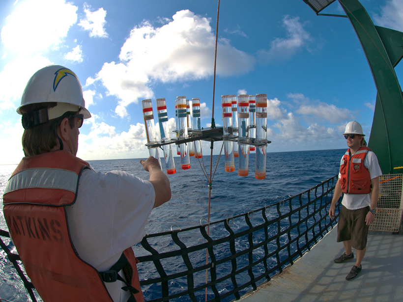
Monitoring Ocean Change in the 21st Century
Time series data sets, which contain measurements repeated over a span of decades, yield important insights into our oceans’ vital signs.
Posted inOpinions
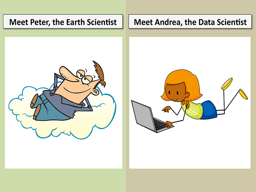
Three Steps to Successful Collaboration with Data Scientists
A step-by-step cartoon guide to efficient, effective collaboration between Earth scientists and data scientists.

Posted inEditors' Vox
New Findings from Old Data
Recalibrated and reanalyzed data from the Voyager flybys of Jupiter 40 years ago, presented in a series of papers in JGR: Space Physics, show the value of archival data.