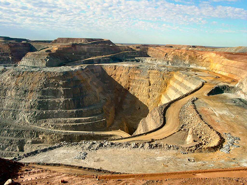
Long-term climate records could help mining companies and their investors assess the financial risk of water shortages.
data management
Posted inResearch Spotlights
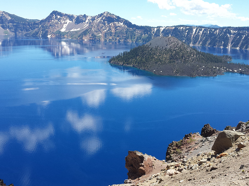
Water Quality Database Offers New Tools to Study Aquatic Systems
Researchers assess the federal Water Quality Portal, a Web portal that unites disparate water quality data sets and resources.
Posted inScience Updates
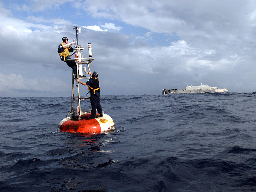
Expanding a 300-Year Record of Marine Climate
Fourth International Workshop on the Advances in the Use of Historical Marine Climate Data; Southampton, UK, 18–22 July 2016

Posted inNews
Activists Set Out to Save Data, One Byte at a Time
Leaders of the DataRefuge movement hope that volunteer efforts across the country can stop government data from disappearing.

Posted inResearch Spotlights
Martian Mantle Models Pave the Way for NASA's InSight Lander
The most detailed simulations to date of how heat flows through Mars's interior are good news for the upcoming lander and will help scientists interpret its data.
Posted inScience Updates
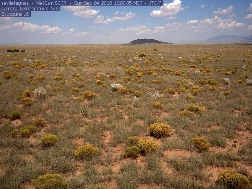
Integrating Multiscale Seasonal Data for Resource Management
Workshop on Phenology at Scales from Individual Plants to Satellite Pixels; Cambridge, Massachusetts, 21–23 June 2016
Posted inScience Updates
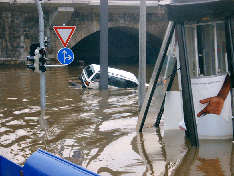
Using Archives of Past Floods to Estimate Future Flood Hazards
Cross Community Workshop on Past Flood Variability; Grenoble, France, 27–30 June 2016
Posted inAGU News
Kevin Murphy Receives 2016 Charles S. Falkenberg Award
Kevin Murphy received the 2016 Charles S. Falkenberg Award at the American Geophysical Union Fall Meeting Honors Ceremony, held on 14 December 2016 in San Francisco, Calif. The award honors an "early- to mid-career scientist who has contributed to the quality of life, economic opportunities, and stewardship of the planet through the use of Earth science information and to the public awareness of the importance of understanding our planet."
Posted inNews
Award Highlights Need to Preserve Historic Geoscience Data
The award raises awareness about the importance of preserving and having access to research data, and it showcases a diversity of initiatives to recover and reuse older research data.

Posted inNews
Unifying Ocean Data into One Searchable Set
A new system called SeaView integrates data from five online ocean data sets, helping to paint a more detailed picture of the world's oceans.