To reduce the uncertainty associated with this important climate change index, recent studies have developed a new diurnal temperature range data set and compared the results to previous estimates.
data management
Posted inScience Updates
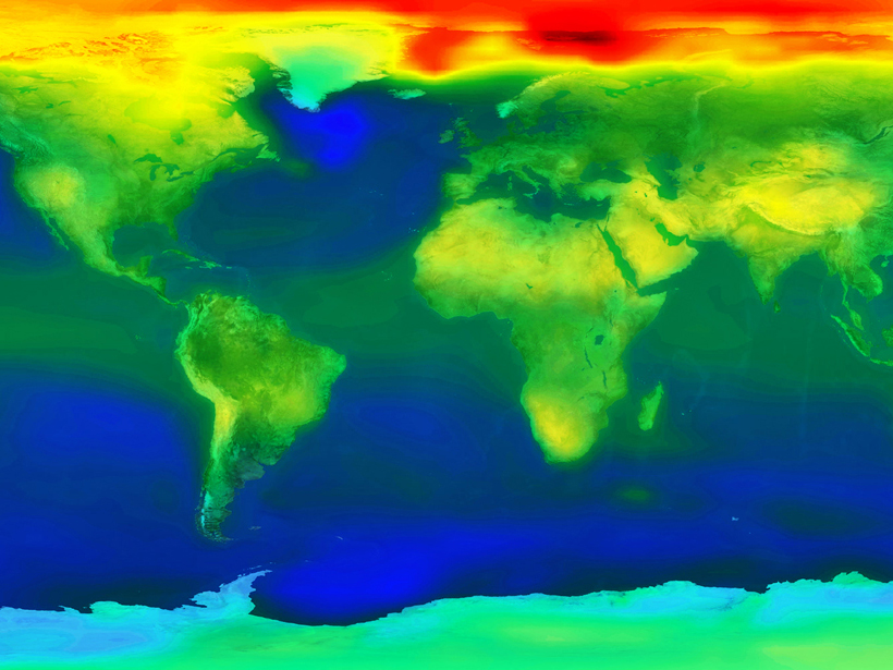
A More Powerful Reality Test for Climate Models
A new climate model evaluation package will deliver objective comparisons between models and observations for research and model development and provide a framework for community engagement.

Posted inScience Updates
Challenges and Opportunities in Earth-Human Systems Research
Opportunities for Integration of Remote Sensing, Integrated Assessment, and Adaptation; Aspen, Colorado, 11–16 October 2015
Posted inScience Updates
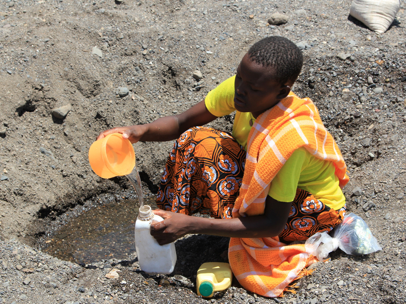
Precipitation Data Key to Food Security and Public Health
2015 Global Precipitation Measurement (GPM) Mission Applications Workshop; Hyattsville, Maryland, 9–10 June 2015
Posted inScience Updates
Better Tools to Build Better Climate Models
A Department of Energy collaboration aims to make climate model development faster and more efficient by creating a prototype of a system for testing model components.
Posted inScience Updates
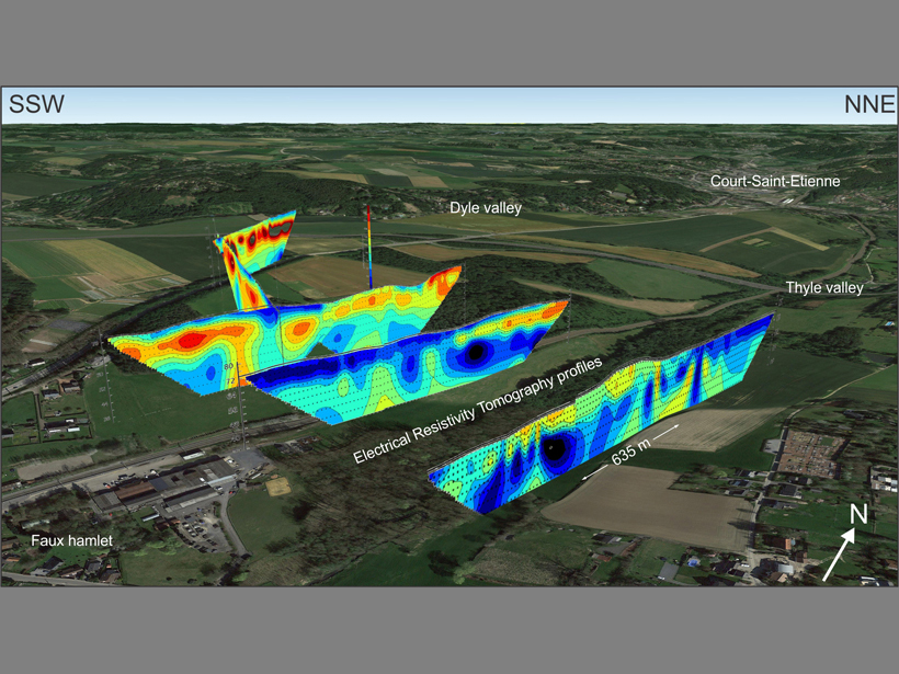
Visualizing Cross-Sectional Data in a Real-World Context
Combining the capabilities of an open-source drawing tool with Google Earth maps allows researchers to visualize real-world cross-sectional data in three dimensions.
Posted inEditors' Vox
Challenges in Assembling and Managing Environmental Data Sets
Pulling together long-term data is increasingly important in assessing environmental changes, whether regionally or globally.
Posted inScience Updates
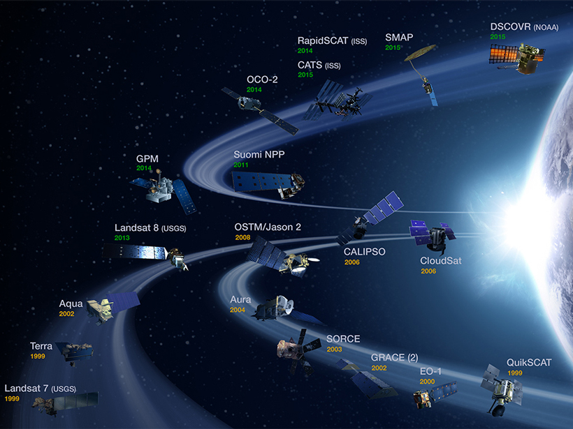
Abundance of Satellite Data Presents Opportunity, Challenge
Globalizing Societal Application of Scientific Research and Observations from Remote Sensing: The Path Forward; Tacoma, Washington, 23–25 June 2015

Posted inScience Updates
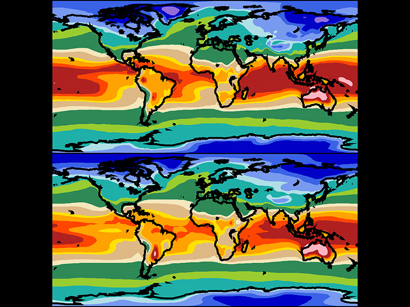
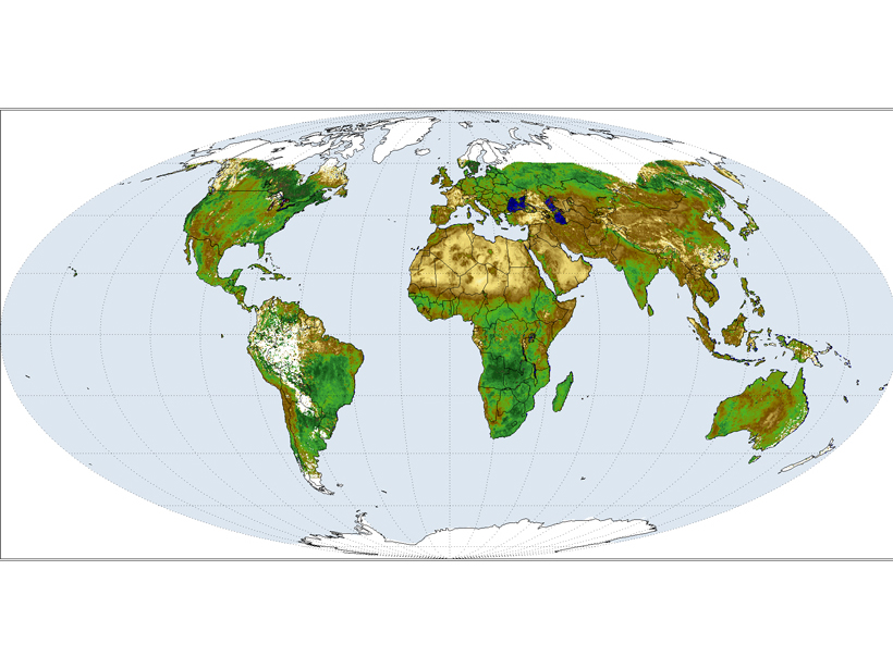
Visualizing the Climate’s Future
Climate Inspector: A new Web-based approach to exploring global climate change across space and time.
Posted inScience Updates
International Effort Sustains and Develops Climate Data Records
SCOPE-CM Meeting; Geneva, Switzerland, 23–24 March 2015