
Federation of Earth Science Information Partners 2015 Summer Meeting; Pacific Grove, California, 14–17 July 2015
data management
Posted inScience Updates
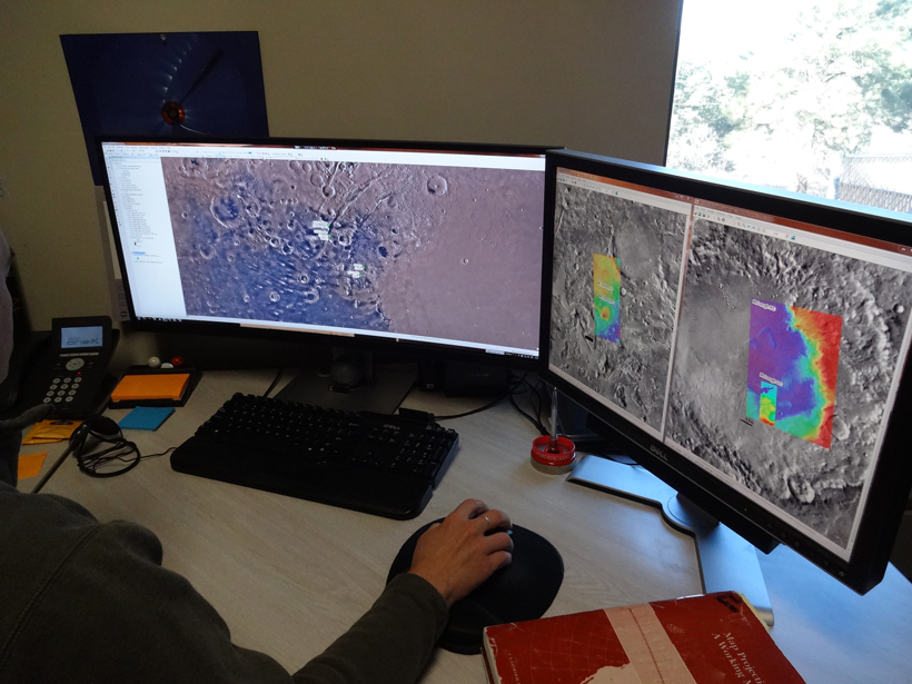
Status of Tools and Data for Planetary Research
2nd Planetary Data Workshop; Flagstaff, Arizona, 8–11 June 2015

Posted inOpinions
The Importance of Data Set Provenance for Science
Data do not exist in a vacuum. To be useful, data must be accompanied by context on how they are captured, processed, analyzed, and validated and other information that enables interpretation and use.

Posted inResearch Spotlights
Data Correction Needed for Long-Term Heat Transport Monitoring
Scientists assess how historical temperature biases could impact the detection of ocean heat transport changes in a key area of the South Atlantic Ocean where data are scarce.

Posted inScience Updates
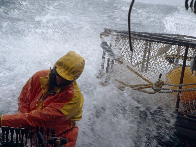
Field Data Management: Integrating Cyberscience and Geoscience
The smartphone and tablet revolution has changed how geologists work in the field, but now the community must come up with standards to tame the flood of data.
Posted inResearch Spotlights
Protecting Communications Satellites from Space Weather
A recent analysis of proprietary telecommunications data identifies a potential source of anomalous satellite component performance, and what can be done to prevent this from happening in the future.
Posted inOpinions
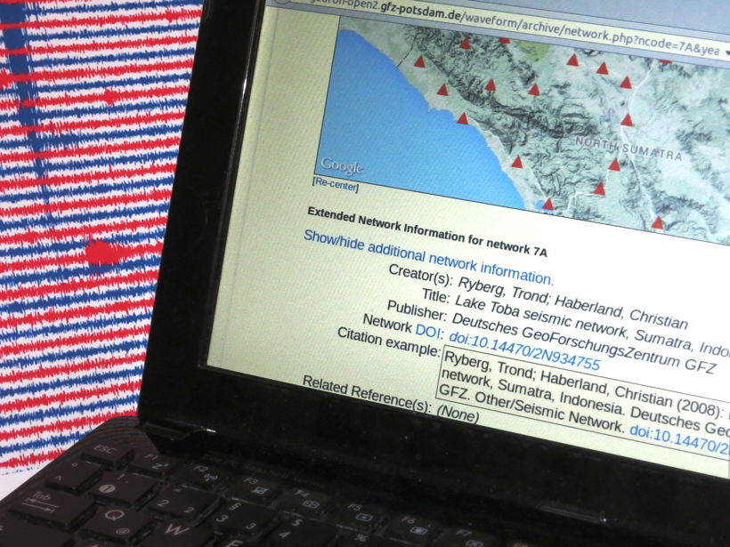
Why Seismic Networks Need Digital Object Identifiers
In a move to give credit where it's due, the International Federation of Digital Seismograph Networks will link digital object identifiers to data from seismic networks and project deployments.
Posted inScience Updates
A Weather Eye on Coastal Winds
New satellite radar image-processing system provides wind speed maps with an unprecedented degree of precision. Such maps will help coastal communities prepare for wind-related hazards.
Posted inScience Updates
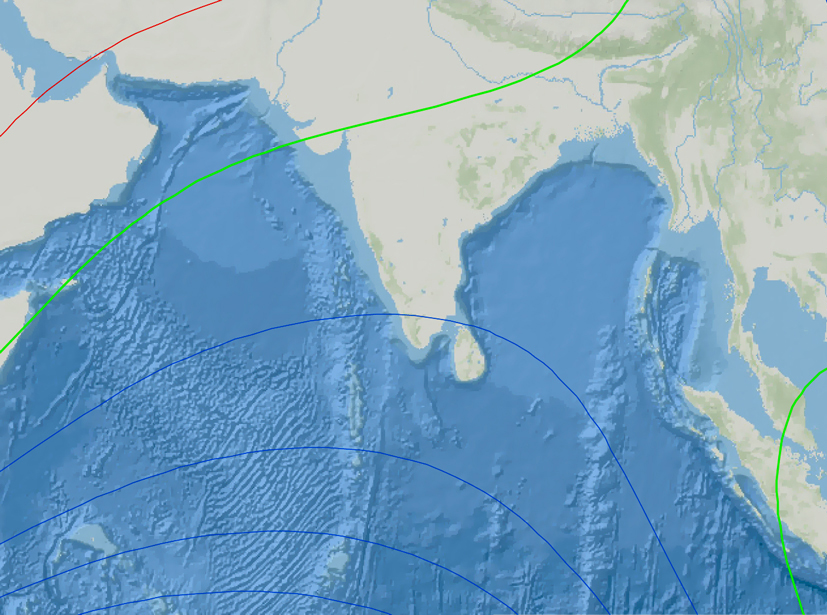
Making the Northern Indian Ocean a Hub of Geomagnetic Data
A new initiative seeks to unite and network the magnetic research community in the northern Indian Ocean region.
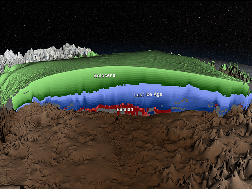
Posted inResearch Spotlights
Ice-Penetrating Radar Reveals Age of Greenland Ice Sheet Layers
First comprehensive analysis of deep radar data gives insight into the dynamics and history of the Greenland Ice Sheet.