Satellite precipitation data are essential to weather forecasting, agricultural modeling, and emergency response planning. NASA’s Global Precipitation Measurement (GPM) mission helps to provide this data.
GPM is a constellation of domestic and international satellites that estimate rainfall and snowfall every 3 hours. The constellation is centered around the GPM Core Observatory satellite, which was launched by NASA and the Japan Aerospace Exploration Agency in February 2014. The Core Observatory unifies data from partner satellites by serving as a reference by which each instrument can be calibrated. GPM is a follow-on to NASA’s Tropical Rainfall Measuring Mission (TRMM), which collected precipitation data for more than 17 years.
NASA’s GPM and TRMM missions hosted a workshop in June 2015 in Hyattsville, Md., to discuss how the GPM applications program can better address the needs of the different sectors of the community. More than 125 people from government agencies, academia, the private sector, and international organizations participated in the meeting. Researchers, government officials, and representatives from private companies and nongovernmental organizations described how the data were being used in forecasting and responding to a range of issues that impact the globe.

Panelists from the food security and agriculture communities emphasized how GPM and other rainfall data are key to better understanding our use of water resources and its implications for food security. For example, the Famine Early Warning Systems Network, created by the U.S. Agency for International Development, provides early warning and analysis of acute food shortages to help decision makers and relief agencies plan for and respond to humanitarian crises.
Panelists also discussed how satellite data on current rainfall and long-term precipitation patterns allow researchers to compare a current drought with past droughts and to model the extent of potential impacts. For example, the video below shows rainfall accumulation over the United States for the first half of 2015 as observed by GPM.
This visualization shows the heavy rainfall throughout northern Texas and across Oklahoma as well as the drought in Southern California. Participants discussed how products similar to this can help manage water resources and floods.
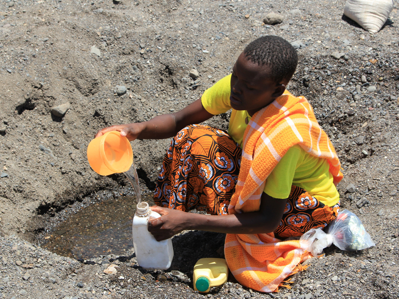
Public health and ecology researchers provided examples of how near-real-time satellite data are critical for better understanding the spread of vector-borne and waterborne diseases. Ben Zaitchik of Johns Hopkins University described using TRMM and GPM data to track malaria in the Amazon by identifying the key environmental factors for mosquito breeding sites. Antar Jutla of West Virginia University discussed the link between precipitation and temperature in creating an environment for diarrheal diseases, specifically cholera.
Near-real-time satellite data are critical for better understanding the spread of vector-borne and waterborne diseases.
TRMM and GPM precipitation data are also important for disaster response and monitoring organizations, enabling them to better prepare and react to evolving natural disasters and global crises. Chris Chiesa from the Pacific Disaster Center demonstrated the center’s DisasterAWARE portal, where TRMM and GPM data are routinely used to provide situational awareness for active disasters around the world.
The main themes outlined at the workshop focused on data availability, resolution, and consistency. The Integrated Multi-Satellite Retrievals for GPM (IMERG) product provides high spatial and temporal precipitation data that are available within 4–6 hours of a weather event. Users expressed great interest in this product but also emphasized the need for a consistent, long-term record with which to validate models or compare current rainfall totals to historical events.
The GPM Applications team is addressing the workshop participants’ comments and is always interested in additional feedback from the community. For more information and speaker presentations, please visit the workshop’s website.
—Dalia Kirschbaum and Kasha G. Patel, NASA Goddard Space Flight Center, Greenbelt, Md.; email: [email protected]
Citation: Kirschbaum, D., and K. G. Patel (2016), Precipitation data key to food security and public health, Eos, 97, doi:10.1029/2016EO045583. Published on 9 February 2016.
Text not subject to copyright.
Except where otherwise noted, images are subject to copyright. Any reuse without express permission from the copyright owner is prohibited.
Text not subject to copyright.
Except where otherwise noted, images are subject to copyright. Any reuse without express permission from the copyright owner is prohibited.