
Using satellite remote sensing data sets can be a daunting task. Giovanni, a Web-based tool, facilitates access, visualization, and exploration for many of NASA’s Earth science data sets.
data management

Posted inResearch Spotlights
New Data Record Extends History of Global Air Pollution
Researchers extend long-term aerosol records to the past 40 years by combining two existing algorithms to process satellite data over both land and sea.
Posted inResearch Spotlights
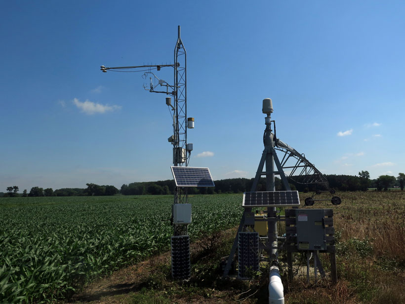
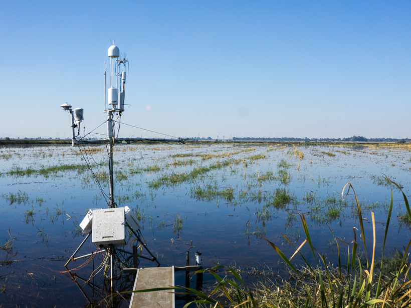
Blending Satellite Data to Monitor Agricultural Water Use
A new technique that merges data gathered by multiple satellites can be used to monitor agricultural water use and improve water quality assessments around the globe.

Posted inScience Updates
Tracking River Flows from Space
Satellite observations, combined with algorithms borrowed from river engineering, could fill large gaps in our knowledge of global river flows where field data are lacking.

Posted inEditors' Vox
The Value of Disaster Damage Data
The editors of a new book describe the benefits of systematic collection, storage, analysis, and sharing of damage data after flood events.

Posted inResearch Spotlights
A Powerful New Tool for Research
A novel interface allows users of MATLAB and GMT, two software packages widely used by the geoscience community, to simultaneously harness the capabilities of both products.
Posted inResearch Spotlights
New Supercomputers Allow Climate Models to Capture Convection
Scientists evaluate the latest version of a fine-scale climate model by simulating a decade of precipitation patterns across Europe.
Posted inScience Updates
Defining Opportunities for Collaboration Across Data Life Cycles
Developing Enterprise Tools and Capacities for Large-Scale Natural Resource Monitoring; Fort Collins, Colorado, 12–13 October 2016
Posted inScience Updates
A New Data Set to Keep a Sharper Eye on Land-Air Exchanges
FLUXNET2015, the latest update of the longest global record of ecosystem carbon, water, and energy fluxes, features improved data quality, new data products, and more open data sharing policies.
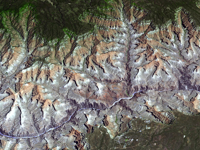
Posted inResearch Spotlights
Stream Network Geometry Correlates with Climate
A "big data" analysis of nearly 1 million river junctions in the contiguous United States shows that branching angles in dendritic drainages vary systematically between humid and arid regions.