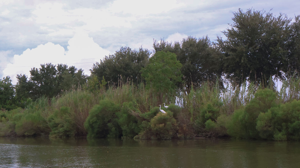
Autogenic processes of sediment storage and erosion regulate shoreline movement and therefore, where coastal wetlands develop, setting up subsurface areas of preserved organic matter, blue carbon.
deltas
Posted inNews
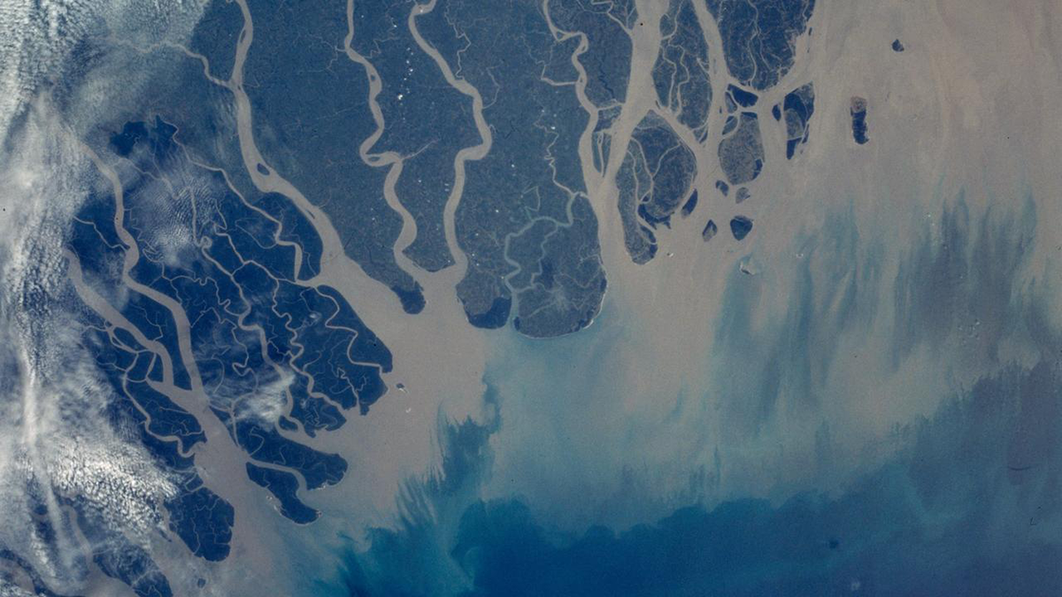
Why Are River Deltas Disappearing? They’re Sinking Faster Than Many People Realize
It’s not just that sea levels are rising. Scientists believe fossil fuel extraction and river engineering are also factors behind coastline disappearance.
Posted inEditors' Vox
Echoes From the Past: How Land Reclamation Slowly Modifies Coastal Environments
Reclamation of tide-influenced areas has a large impact on coastal environments through gradual modification of tidal dynamics, erosion, and siltation.
Posted inResearch Spotlights
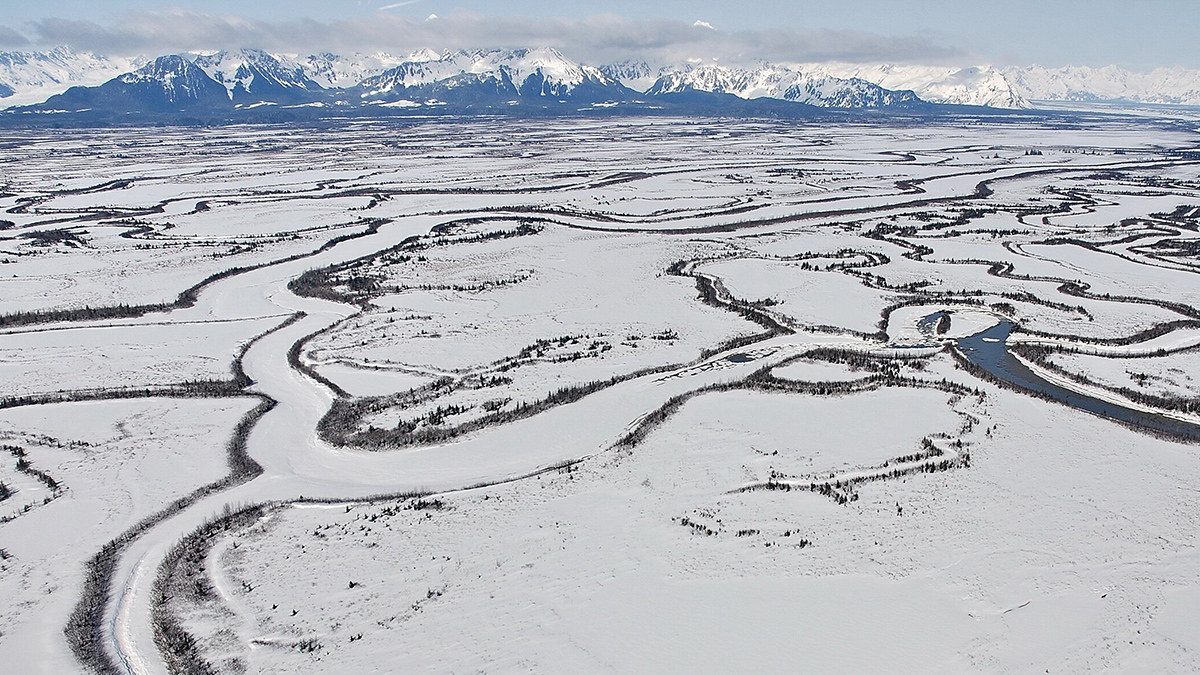
Tectonics and Climate Are Shaping an Alaskan Ecosystem
Biogeochemical research reveals the web of forces acting on a high-latitude microbe community in the Copper River Delta.

Posted inNews
Tracking the Sediment Carried by the Muddy Mississippi
New research shows that typically, less than 10% of land-building alluvium reaches the Bird’s Foot Delta region, the southernmost reach of the river, where it meets the Gulf.
Posted inResearch Spotlights
New Global River Map Is the First to Include River Bifurcations and Canals
GRIT provides a much more detailed look at how rivers merge and split, which could enhance hydrological modeling, flood forecasting, and water management efforts.

Posted inEditors' Vox
Asian Megadeltas: Tackling Coastal Flooding Challenges
Integrating scientific insights into current actions is crucial for steering future research directions and underpinning informed management of coastal flooding in Asian deltas.
Posted inEditors' Highlights
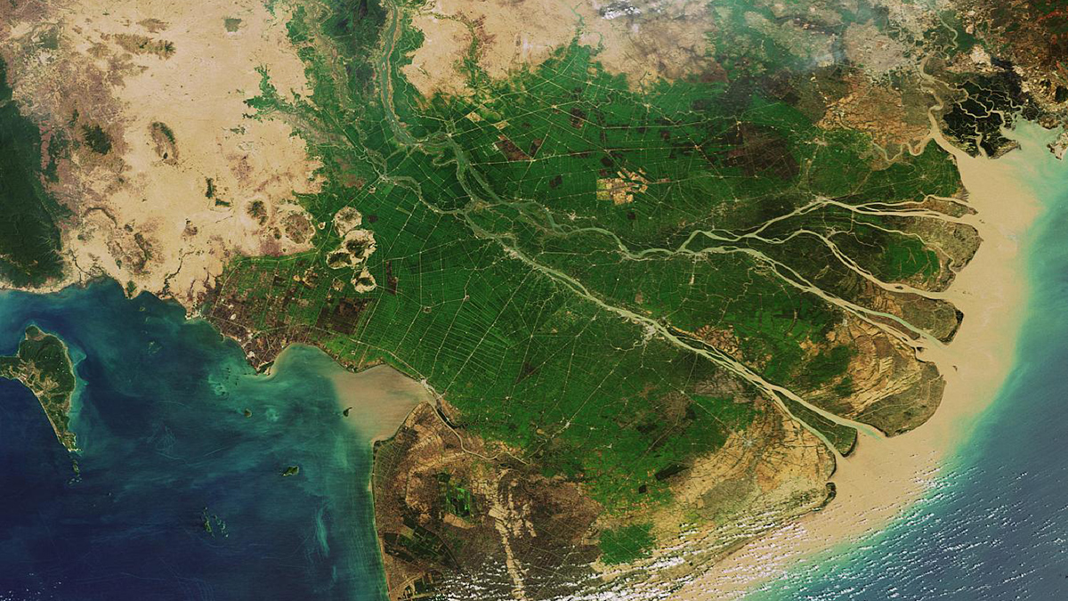
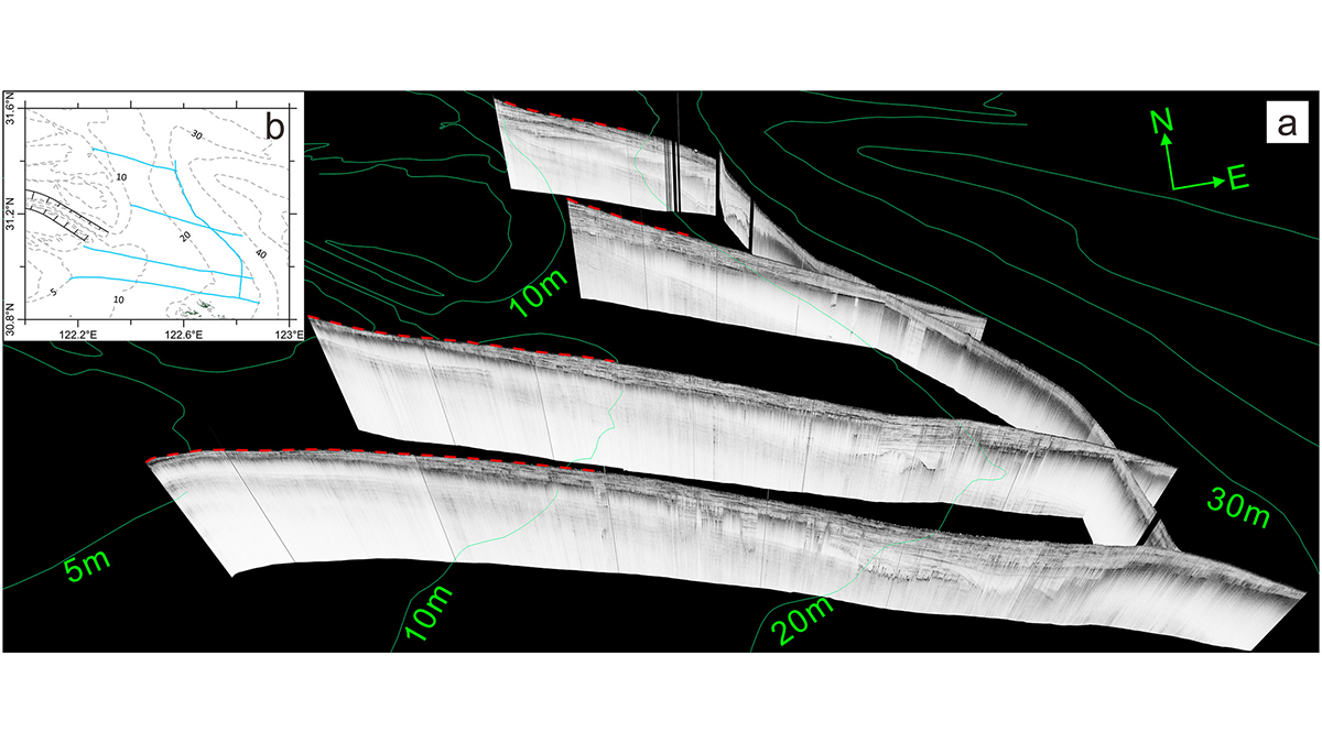
Delta Degradation Leads to Exacerbated Greenhouse Gas Emissions
Seismic ship surveys and seabed elevation maps of the Yangtze subaqueous delta reveal how the reduction of sediment supply to the coastal ocean can trigger increased greenhouse gas emissions.
Posted inEditors' Highlights
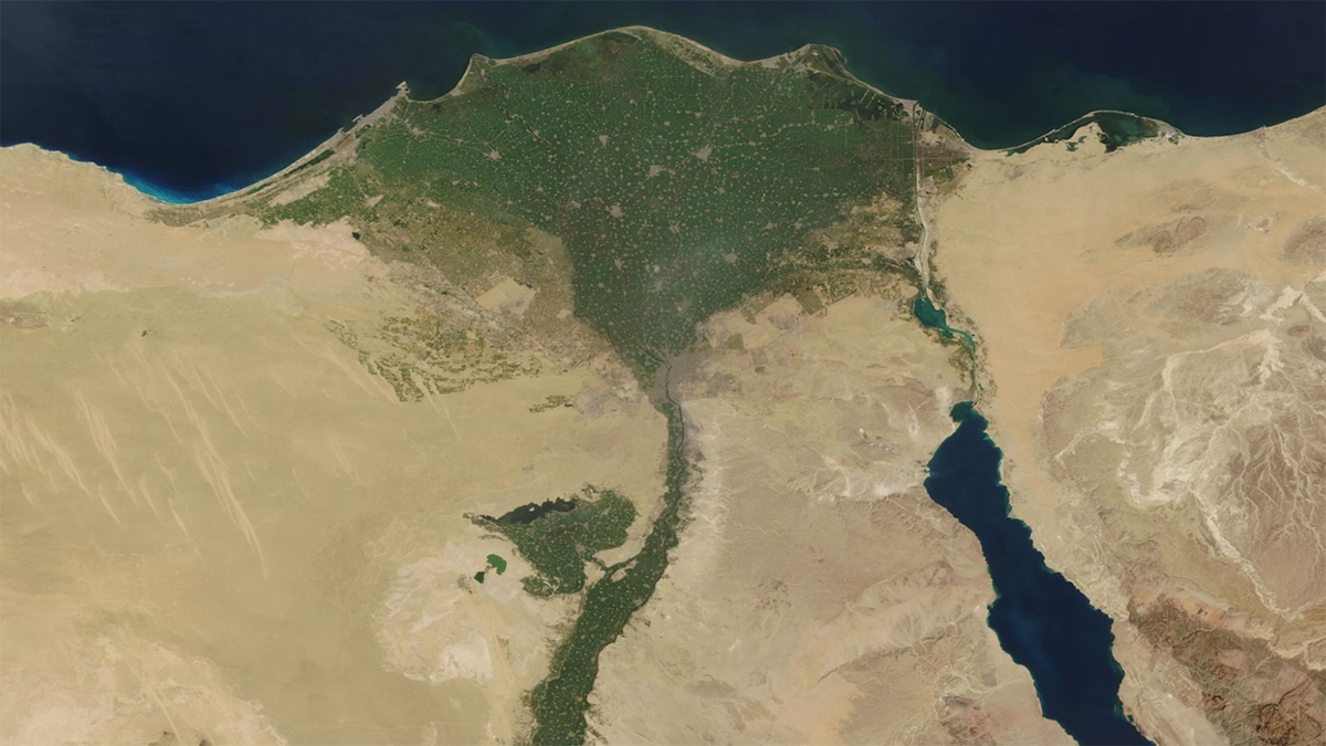
Suivie de l’accumulation des métaux lourds dans le Delta du Nil
Les analyses de sédiments montrent que la réutilisation de l’eau non traitée et la construction de barrages entraînent l’augmentation des concentrations de métaux lourds dans le Delta du Nil, menaçant gravement les écosystèmes, l’agriculture et la santé humaine.

Posted inEditors' Highlights
Tracking Heavy Metal Accumulation in the Nile Delta
Sediment measurements show that flow alterations and discharges are driving increasing concentrations of multiple heavy metals in the Nile Delta, threatening ecosystems, agriculture, and human health.