A new study projects the intertwined relationship between fires and the money spent fighting them.
disaster management
Posted inNews
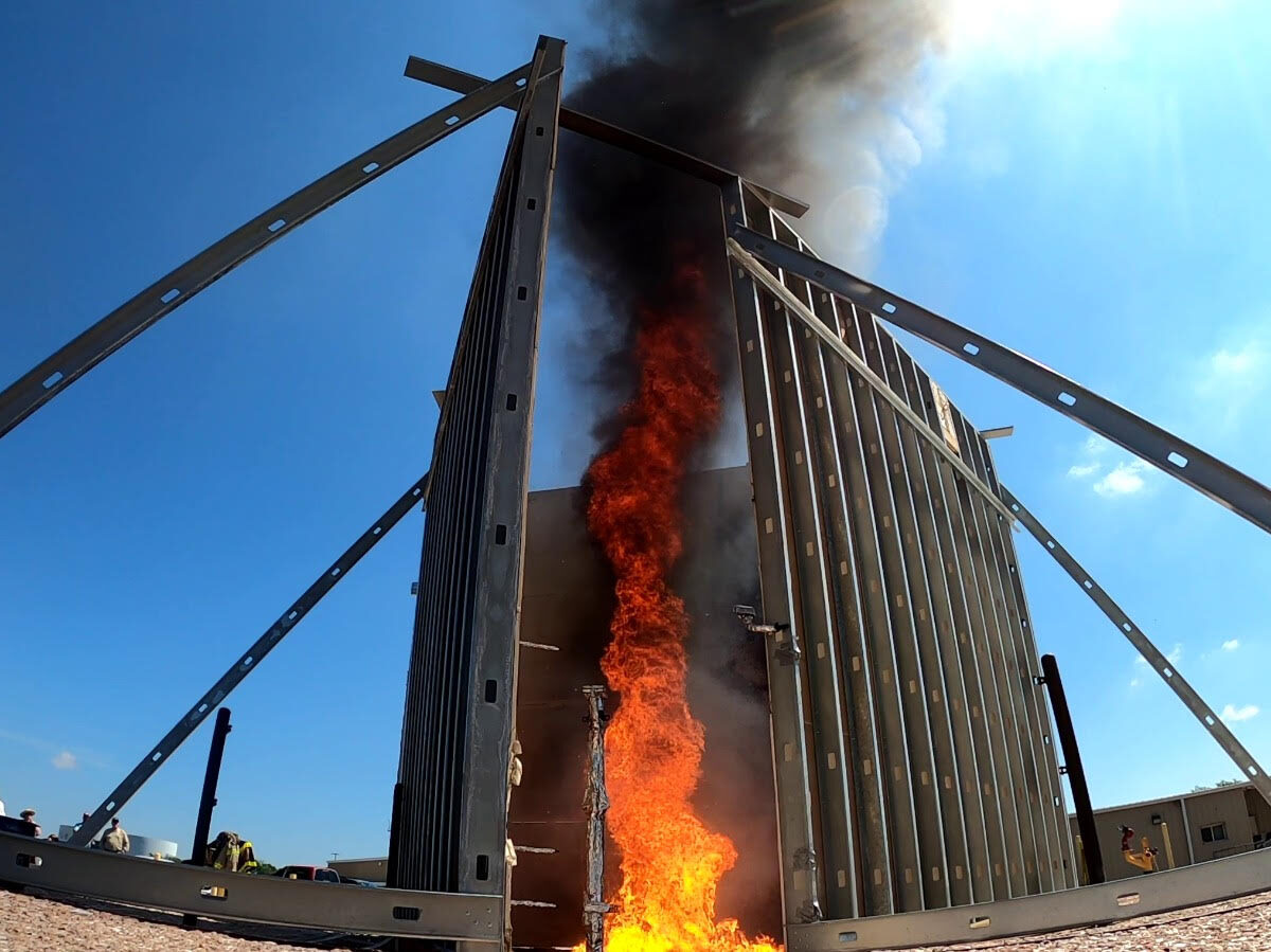
The Fiery Tornadoes That Could Mop Up Oil Spills
More than 15 years after the Deepwater Horizon disaster, researchers are still searching for new ways to tackle disastrous spills. Some are looking to flaming twisters.
Posted inNews
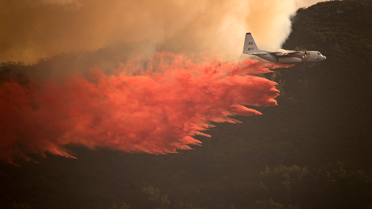
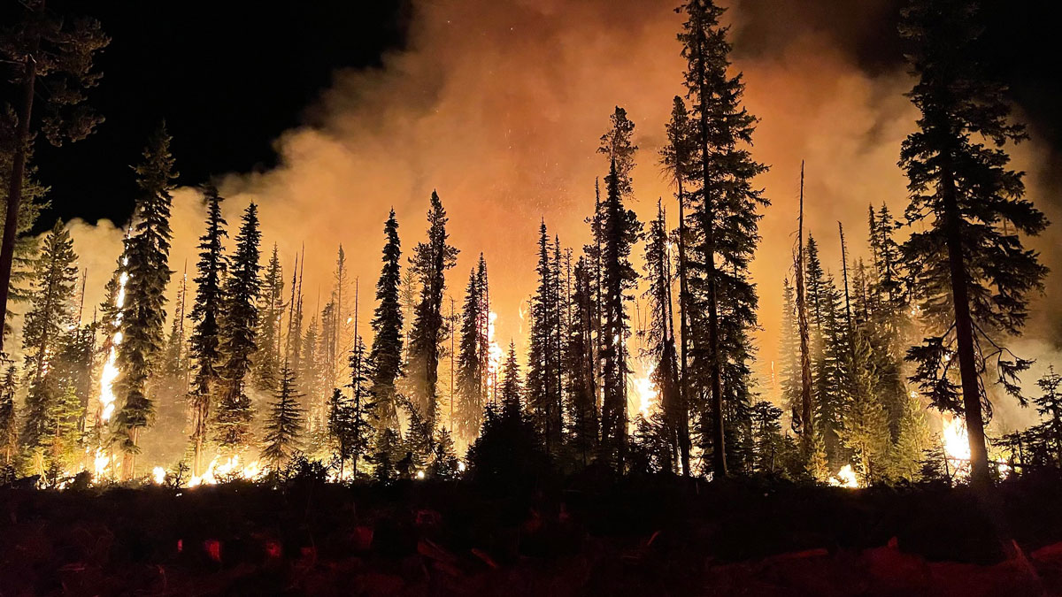
Most of the U.S. West Will Face Above-Normal Wildfire Risk This Summer
The National Interagency Fire Center predicts elevated wildfire potential across much of the West and many Southeast states through August.
Posted inNews
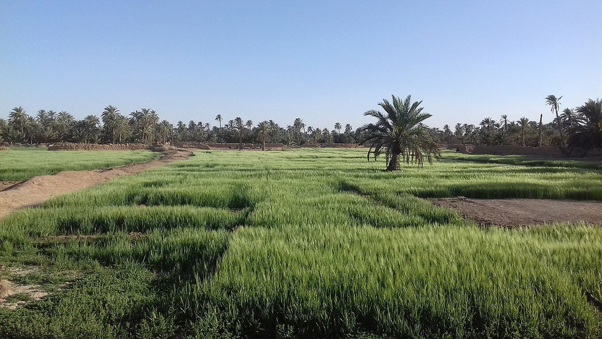
When a Prayer Is Also a Climate Signal
New research in North Africa is validating calls for communal rain prayers as a means of tracking droughts in the region.

Posted inNews
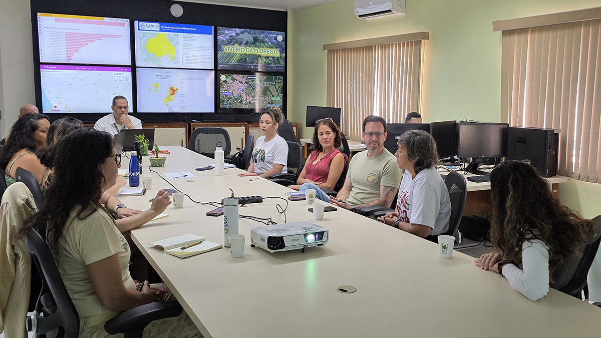
En algunas partes de la Amazonia brasileña, la ciencia lidera la lucha contra los incendios forestales
El estado de Acre utiliza la ciencia para optimizar sus limitados recursos para monitorear y combatir los incendios forestales y la destrucción ambiental.
Posted inNews
In Parts of the Brazilian Amazon, Science Leads the Fight Against Forest Fire
The state of Acre counts on science to optimize its limited resources for monitoring and combating forest fires and environmental destruction.
Posted inResearch & Developments
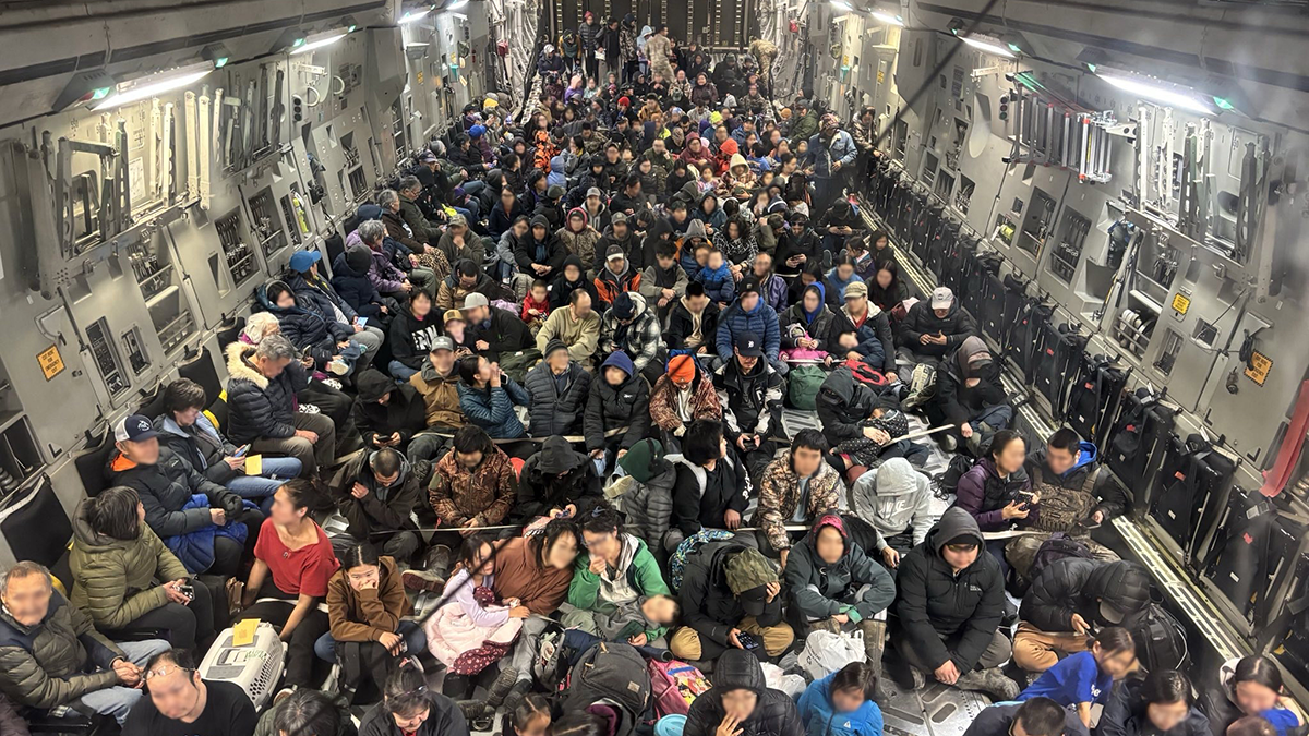
Alaska Awaits Response from FEMA in the Aftermath of Major Floods
Major floods in Alaska have caused the death of at least one person and displaced thousands more over the course of the last two weeks. Many of the displaced may not be able to return home for 18 months or longer, according to Alaska Gov. Mike Dunleavy.
Posted inNews
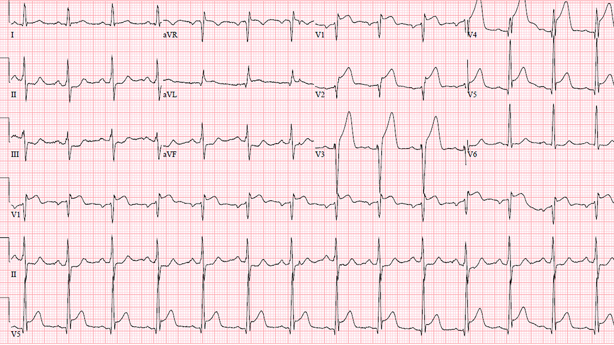
Cyclones Affect Heart Health for Months After They Subside
In a multicountry study, researchers found that cyclones increase the risk of heart disease–related hospitalizations for up to 6 months.
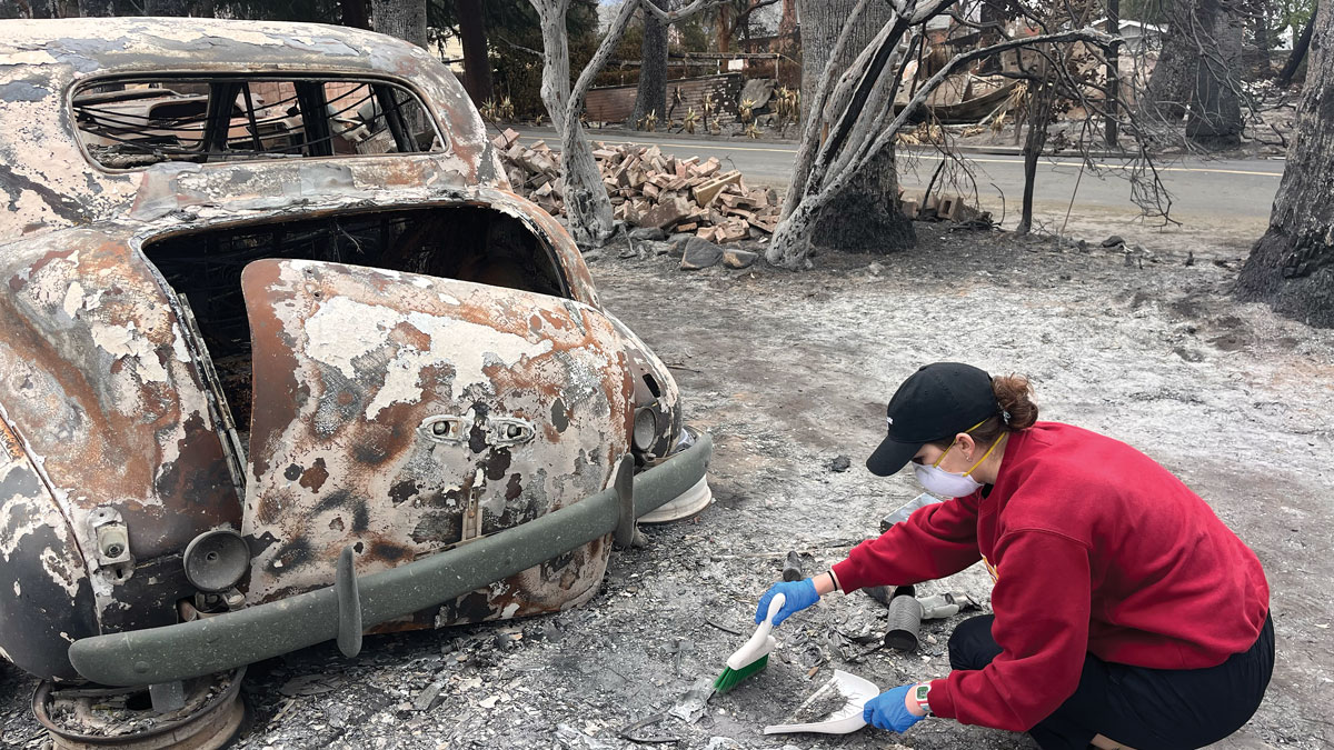
Posted inFeatures
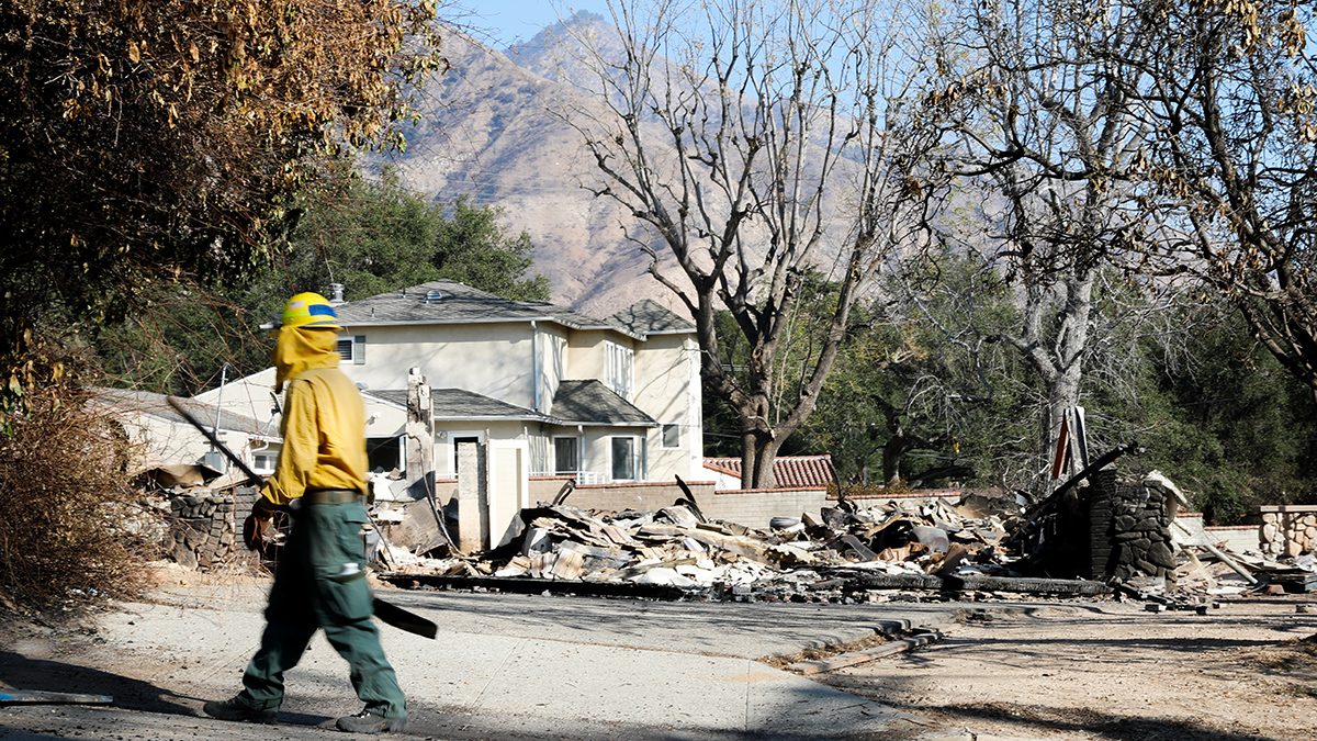
When Disaster Science Strikes Close to Home
How have scientists across Los Angeles used their skills to help their communities recover from the 2025 fires?
Posted inFeatures
Burning Urban and Wild Land Alike
When more densely populated Altadena and Pacific Palisades burned along with surrounding wildlands, hazards for residents didn’t stop when the fires were contained.