Human-caused climate change has pushed the onset of fire season in the state to as much as 46 days earlier than it was 30 years ago.
disaster management
Posted inResearch & Developments
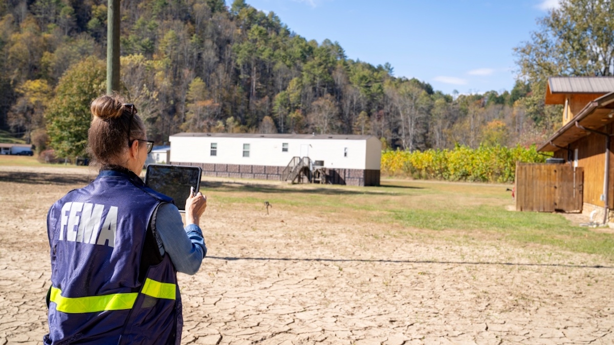
FEMA to Dismantle Popular Disaster Preparedness Program
The Trump administration has announced plans to dismantle a program responsible for funding billions of dollars’ worth of projects meant to help communities prepare for disasters such as flooding, hurricanes, and wildfires, according to reporting from Grist.

Posted inResearch Spotlights
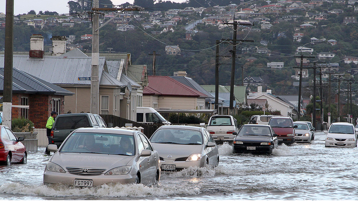
Flooding from Below: The Unseen Risks of Sea Level Rise
Researchers demonstrate a method for assessing how rising seas could raise groundwater levels, potentially transmitting flood hazards far inland.

Posted inEditors' Highlights
Using Satellite Data for More Effective Disaster Response
Satellite data play a crucial role in disaster assessment and response. Meeting expanding demand requires not only accelerated data processing but increased collaboration with responders.

Posted inEditors' Highlights
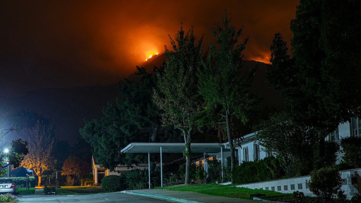
An Atmospheric Pattern Over the Pacific Influences Western U.S. Wildfire Risk
The West Pacific pattern correlates with high pressure, increased temperature, decreased precipitation, and higher burned area during autumn in the western United States.
Posted inEditors' Vox
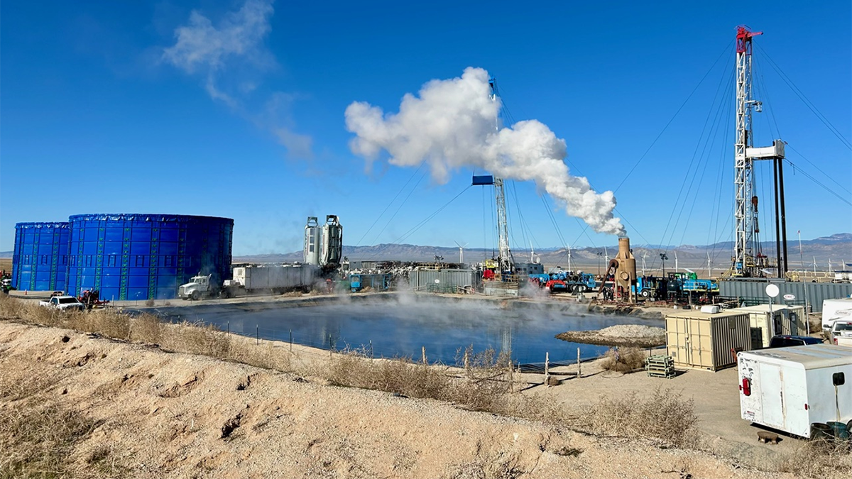
Guidelines for Managing Induced Seismicity Risks
Consolidating state-of-the-art science into guidelines provides a path forward for managing induced seismicity risks and highlights avenues for future research.

Posted inNews
Improving Earthquake Early Warning Access for the Deaf Community
Earthquake early warning systems are rarely accessible to people who are deaf or hard of hearing. A group of scientists is working to change that.

Posted inNews
Buried Tree Stumps Show Shoreline Shifts of the Outer Banks
Storms are unburying centuries-old stumps on North Carolina’s barrier islands. Researchers hope these long-gone forests can help land managers plan for the future.

Posted inEditors' Highlights
Seismotectonic Update of the Philippines-Taiwan Region
Using more than two decades of data, scientists find that the Philippine and Taiwan subduction region is controlled mainly by shallow seismicity and low magnitude earthquakes.