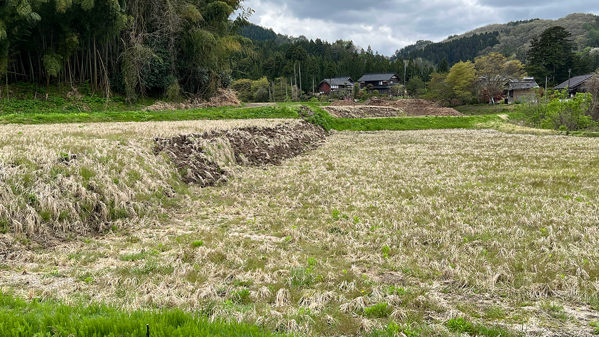
Surface ruptures causing earthquakes pose risks to infrastructure and human lives, but advances in models and data in the last few decades have improved our ability to mitigate their effects.
disaster preparedness
Posted inNews
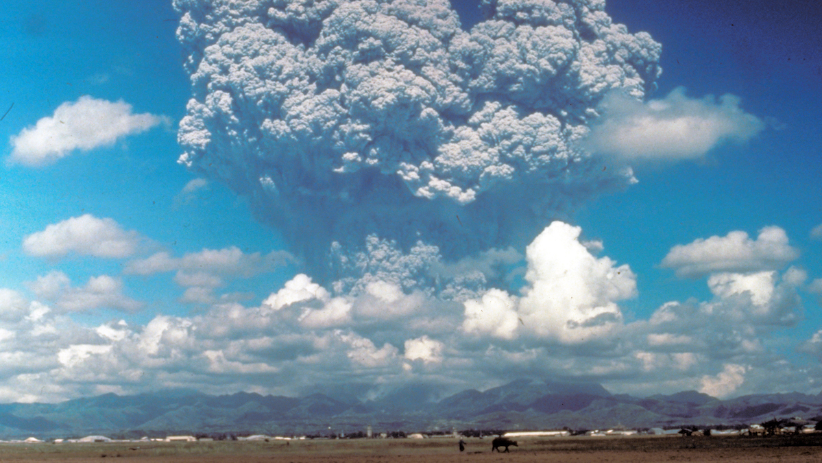
Volcanic Eruptions in One Hemisphere Linked to Floods in the Opposite One
Asymmetric volcanic plumes may shift equatorial weather patterns and increase tropical stream flow, according to new simulations.
Posted inResearch Spotlights
Extreme Heat in U.S. Cities Revealed at High Resolution
Data from personal weather stations power a novel way to detect urban heat islands.
Posted inResearch & Developments
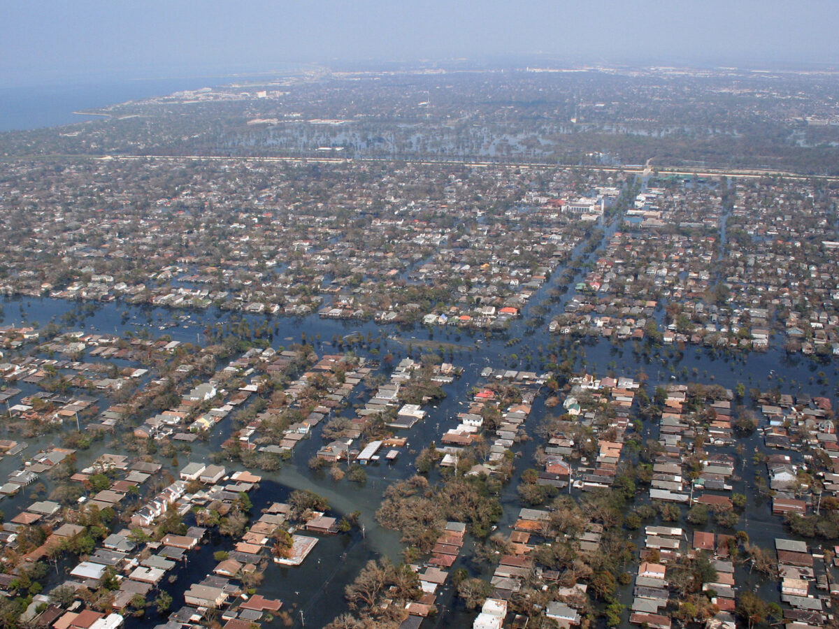
FEMA Puts Dissenting Staff on Indefinite Leave
More than a dozen FEMA staff, all signatories of that Katrina Declaration, were placed on indefinite administrative leave.
Posted inNews
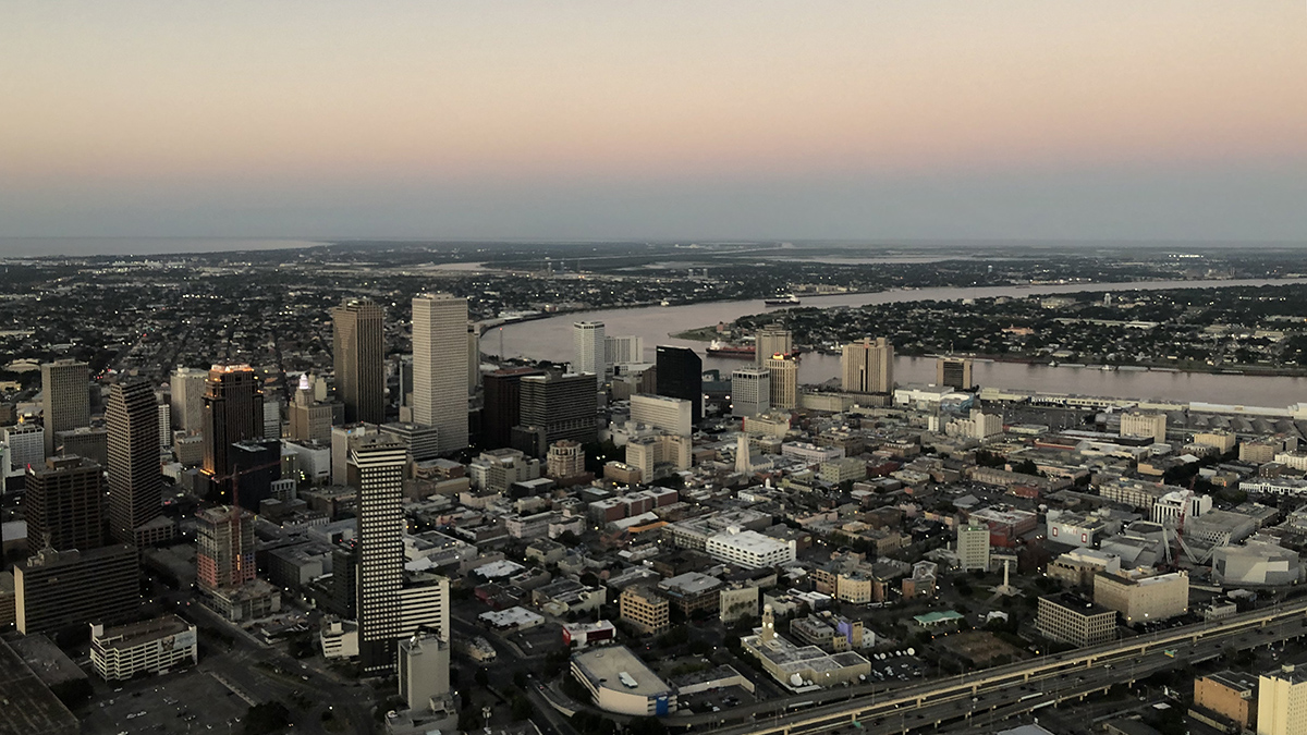
Parts of New Orleans Are Sinking
Areas near the airport, along floodwalls, and in nearby wetlands are subsiding because of a combination of natural and anthropogenic forces.
Posted inNews
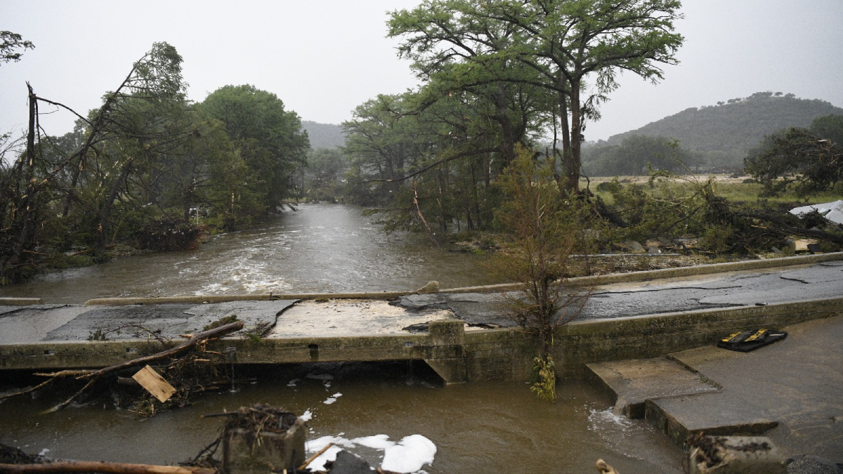
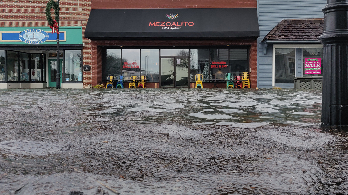
Residents Know When Floods Happen, But Data Must Catch Up
Federal flood measurements often don’t match what people see in their communities. Scientists have created a hyperlocal solution.
Posted inNews
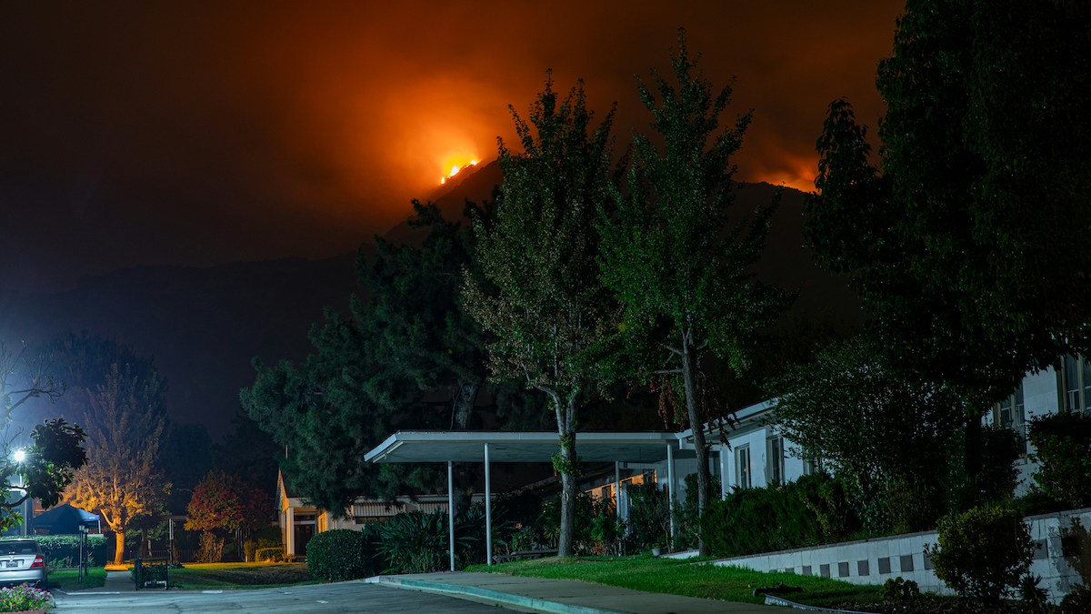
California’s Getting an Earlier Start to Wildfire Season
Human-caused climate change has pushed the onset of fire season in the state to as much as 46 days earlier than it was 30 years ago.
Posted inEditors' Highlights
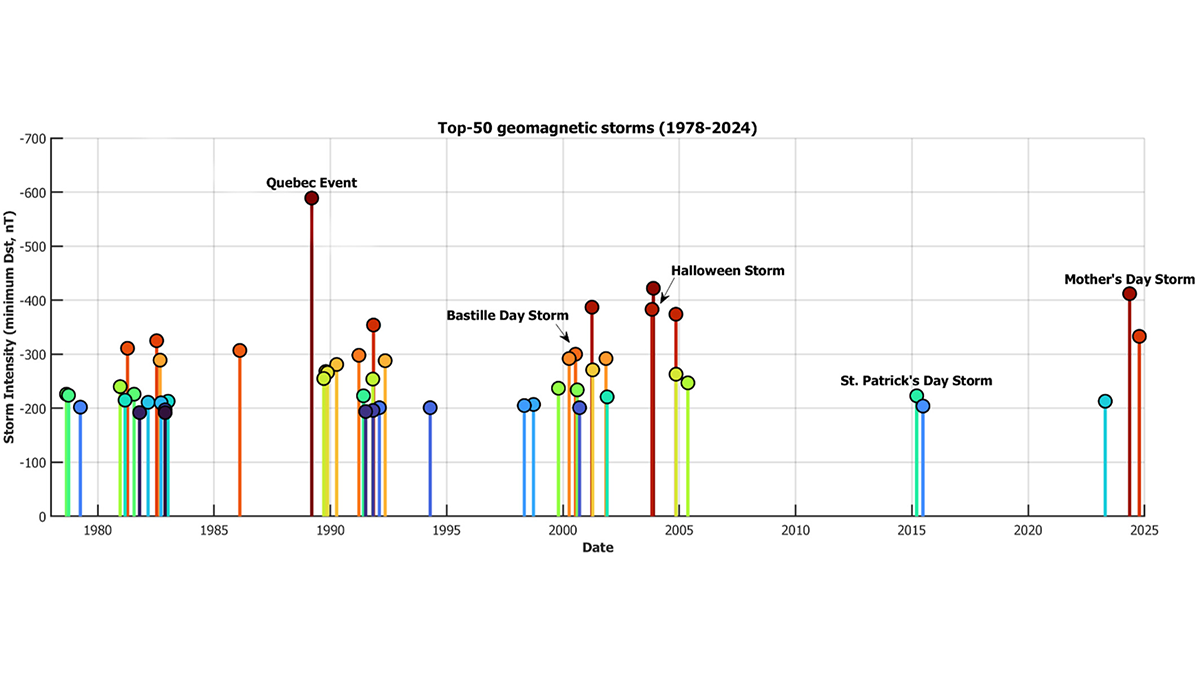
The Power of Naming Space Weather Events
Mother’s Day Storm? Why not! Bastille Day Storm? Mais oui! Space scientists make the case for a standardized naming convention for geomagnetic storms, to increase public awareness and preparedness.
Posted inNews
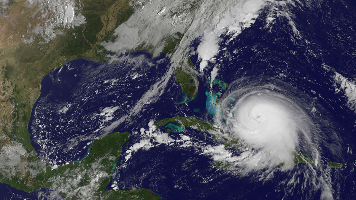
Busy Hurricane Season Expected in 2025
A new NOAA report predicts an active Atlantic hurricane season, though global weather patterns could still shift predictions.
Posted inResearch & Developments
Weather Alert Translations on Hold Until Further Notice
This month, the National Weather Service (NWS) announced that, until further notice, it will no longer be offering automated translation services for its severe weather alerts. These alerts warn U.S. residents about imminent dangers including thunderstorms, tropical cyclones, flooding, and extreme heat.