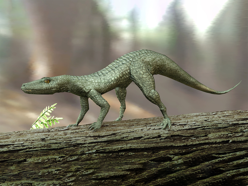
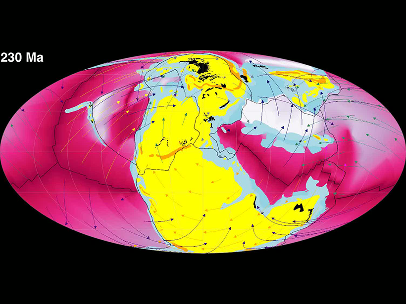
Volcanic eruptions in what is now western Canada may have triggered a million years of rain and a mass extinction that launched the reign of the dinosaurs.
geochronology
Posted inNews
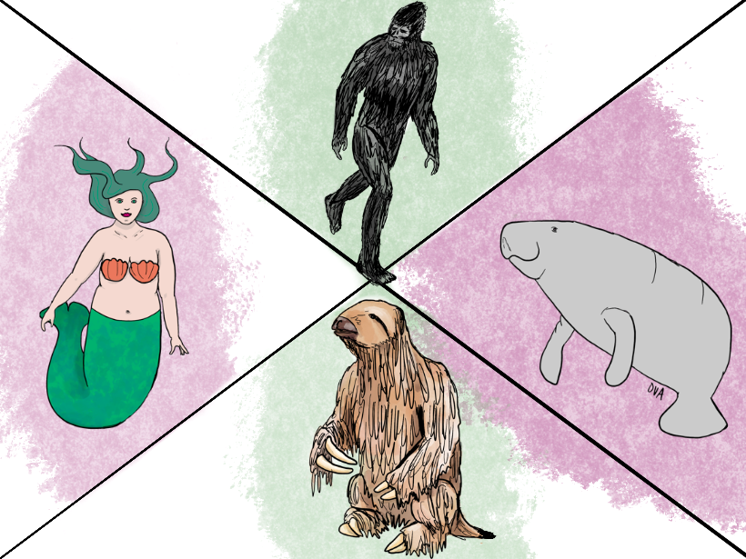
Podcast: Mythical Monsters and Their Real-Life Inspirations
This Halloween season, explore the connections between mythical monsters like Bigfoot and the Kraken and the creatures on which they’re based.
Posted inNews
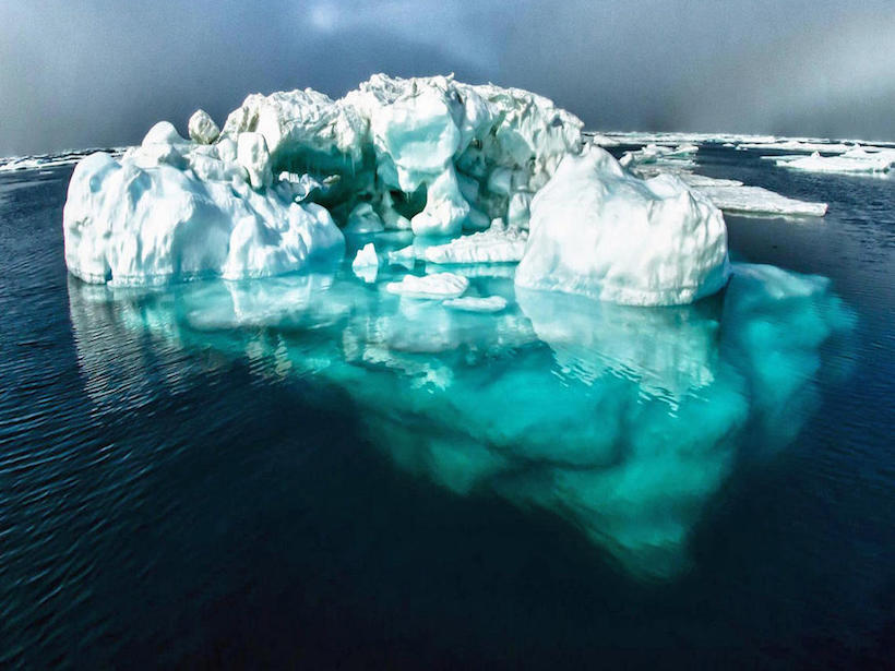
Sediment Layers Pinpoint Periods of Climatic Change
Researchers studying sediment cores from the Gulf of Alaska have pinpointed when the Cordilleran Ice Sheet, now extinct, disgorged icebergs into the Pacific Ocean.

Posted inEditors' Highlights
The Restless Geomagnetic Field Over the Past 70,000 Years
Detailed paleomagnetic records from Black Sea sediments reveal intricate changes in the field during geomagnetic excursions.
Posted inEditors' Highlights
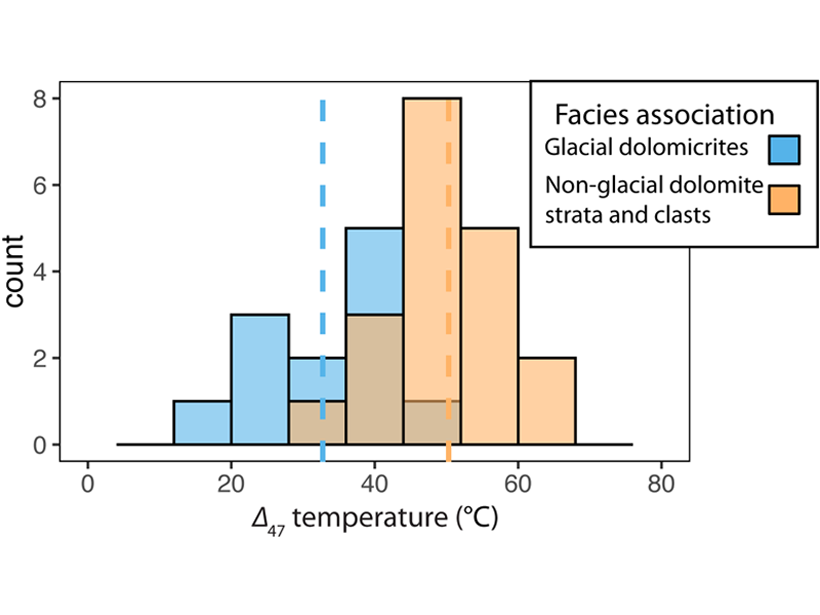
Measuring Paleoclimate During a Deep-Time Deep Freeze
New application of clumped-isotope thermometry to 700-Myr rocks documents large climate swings related to Snowball Earth glaciation and offers better understanding of an earlier Earth system.
Posted inNews
Visualizing the Deep Carbon Cycle
Geoscientists have created animations to help visualize different components of Earth’s carbon cycle.
Posted inNews
NSF Plots a Course for the Next Decade of Earth Sciences Research
Committee members who put together the new report Earth in Time describe this as an “all hands on deck” moment for the field.
Posted inNews
How Modern Emissions Compare to Ancient, Extinction-Level Events
Researchers find that a pulse of volcanic activity spanning several hundred years released as much carbon dioxide into the atmosphere as anthropogenic emissions projections for the 21st century.
Posted inResearch Spotlights
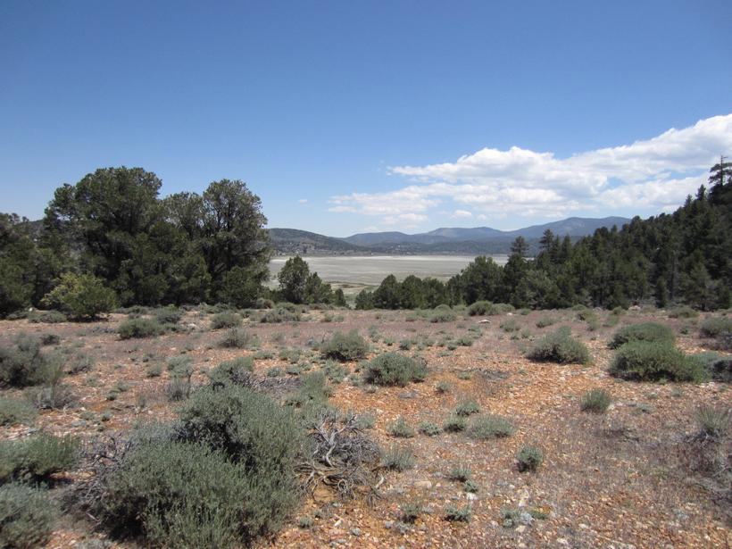
Southern California Climate Change over 100,000 Years
Researchers used a sediment core from a lake in California’s San Bernardino Mountains to track the effect of climate on vegetation, fire, and erosion between about 120,000 and 15,000 years ago.

Posted inNews
Japan Puts Its Mark on Geologic Time with the Chibanian Age
The newly named period in the Pleistocene identifies a key moment in geological history: the last time Earth’s magnetic poles switched places.