
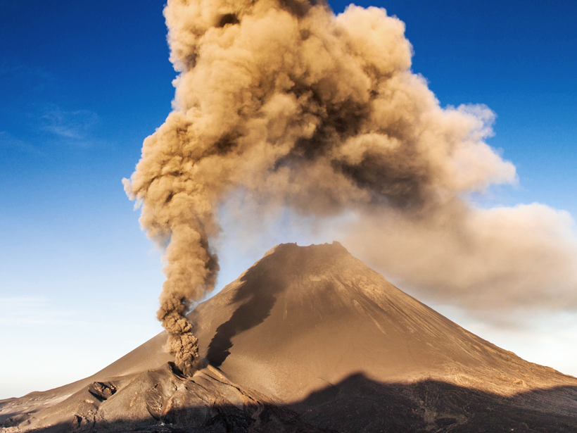
New research suggests that continually monitoring gravity changes near active volcanoes could provide insights into volcanic activity.
geodesy
Posted inFeatures
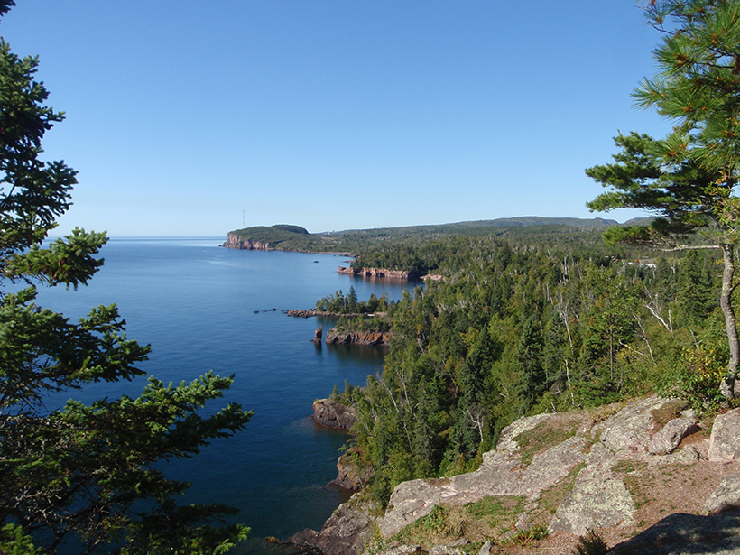
New Insights into North America’s Midcontinent Rift
The Midcontinent Rift has characteristics of a large igneous province, causing geologists to rethink some long-standing assumptions about how this giant feature formed.
Posted inScience Updates
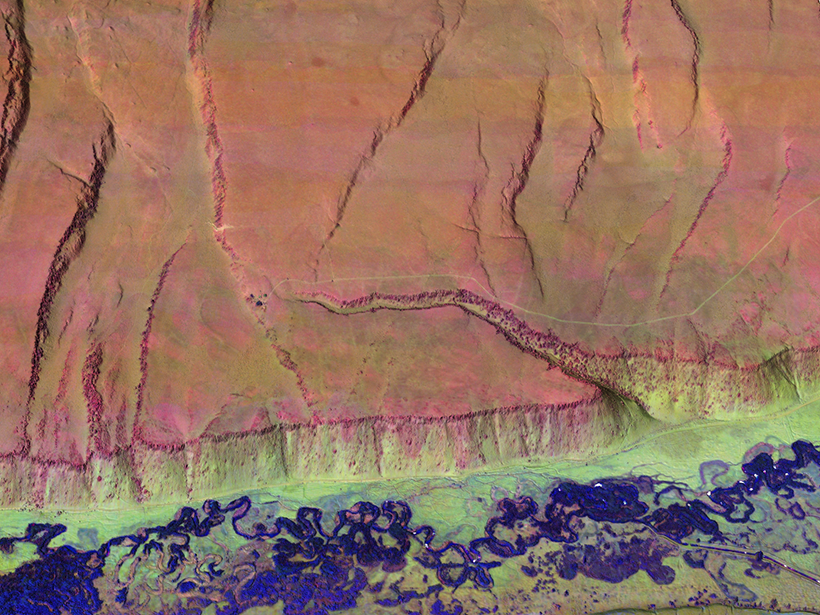
Multicolor Terrain Mapping Documents Critical Environments
The Titan airborne topographic laser system takes spatial and spectral data at three wavelengths at once, mapping threats from climate change and ecological disasters in regions with complex terrain.
Posted inResearch Spotlights
Antarctica Gets a New Gravity Map
A comprehensive collection of variation in Earth's gravity could aid studies of the Antarctic geoid and of Antarctica's geology and ice sheet dynamics.
Posted inResearch Spotlights
New Methods Measure How Vertical Land Motion Affects Sea Level
Researchers demonstrate the value of combining GPS and satellite data on vertical motion of the Earth's surface with tide gauge measurements to track rising sea levels.
Posted inResearch Spotlights
Radar Technique Shows Magma Flow in 2014 Cape Verde Eruption
The European Space Agency's Sentinel-1 satellite captures volcanic surface changes that reveal the flow below.

Posted inResearch Spotlights
Aftershocks of Old Quakes Still Shake New Madrid Seismic Zone
Geodetic data show that earthquakes in 1450 and 1811–1812 may be responsible for present-day seismic activity in the region.

Posted inResearch Spotlights
Subsurface Craters Expose the Moon's Dramatic Past
Scientists use the gravity signature of the lunar surface to trace the history of impact cratering and its role in the Moon's evolution.
Posted inAGU News
Meertens Receives 2015 Ivan I. Mueller Award for Distinguished Service and Leadership
Charles Meertens will receive the 2015 Ivan I. Mueller Award for Distinguished Service and Leadership at the 2015 American Geophysical Union Fall Meeting, to be held 14–18 December in San Francisco, Calif. The award recognizes "major achievements in service and/or leadership to the geodesy community."
Posted inAGU News
Pritchard Receives 2015 Geodesy Section Award
Matthew Pritchard will receive the 2015 Geodesy Section Award at the 2015 American Geophysical Union Fall Meeting, to be held 14–18 December in San Francisco, Calif. The award is given in recognition of major advances in geodesy.