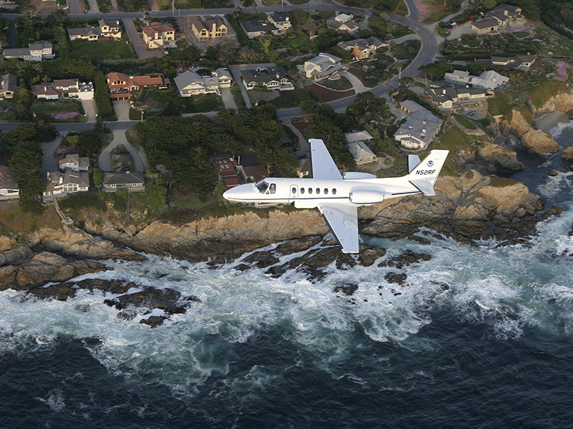
2016 Airborne Gravimetry for Geodesy Summer School; Silver Spring, Maryland, 23–27 May 2016
geodesy
Why We Must Tie Satellite Positioning to Tide Gauge Data
Accurate measurements of changes in sea and land levels with location and time require making precise, repeated geodetic ties between tide gauges and satellite positioning system equipment.
A New Model to Improve Gravity Models
Data from the Gravity Recovery and Climate Experiment (GRACE) mission gets a new and improved look.
Fielding Receives 2016 Ivan I. Mueller Award for Distinguished Service and Leadership
Eric Jameson Fielding will receive the 2016 Ivan I. Mueller Award for Distinguished Service and Leadership at the 2016 American Geophysical Union Fall Meeting, to be held 12–16 December in San Francisco, Calif. The award recognizes "major achievements in service and/or leadership to the geodesy community."
Hill Receives 2016 Geodesy Section Award
Emma M. Hill will receive the 2016 Geodesy Section Award at the 2016 American Geophysical Union Fall Meeting, to be held 12–16 December in San Francisco, Calif. The award is given in recognition of major advances in geodesy.
Tide Gauge Records May Underestimate 20th Century Sea Level Rise
Tide gauges can help measure sea level change, but their limited locations and short records make it hard to pinpoint trends. Now researchers are evaluating the instruments' limitations.
The Gravity of Volcanic Eruptions
New research suggests that continually monitoring gravity changes near active volcanoes could provide insights into volcanic activity.
New Insights into North America’s Midcontinent Rift
The Midcontinent Rift has characteristics of a large igneous province, causing geologists to rethink some long-standing assumptions about how this giant feature formed.
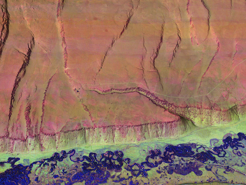
Multicolor Terrain Mapping Documents Critical Environments
The Titan airborne topographic laser system takes spatial and spectral data at three wavelengths at once, mapping threats from climate change and ecological disasters in regions with complex terrain.
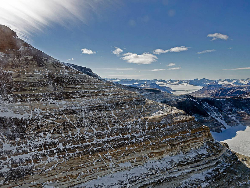
Antarctica Gets a New Gravity Map
A comprehensive collection of variation in Earth's gravity could aid studies of the Antarctic geoid and of Antarctica's geology and ice sheet dynamics.

