This pioneer in space geodesy started as a particle physicist and went on to unravel relationships between Earth’s rotation and climate processes.
geodesy

Posted inScience Updates
Universal Units Reflect Their Earthly Origins
On Friday, the kilogram will join its fellow metric units with a definition based on fundamental physical constants, but these units maintain links to their roots in the geosciences.
Posted inAGU News
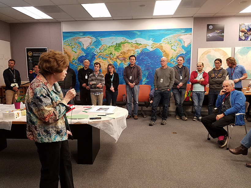
Gross Receives 2018 Ivan I. Mueller Award for Distinguished Service and Leadership
Richard Gross will receive the 2018 Ivan I. Mueller Award for Distinguished Service and Leadership at AGU’s Fall Meeting 2018, to be held 10–14 December in Washington, D. C. The award acknowledges “major achievements in service to and/or leadership within the field of geodesy.”
Posted inAGU News
Hobiger Receives 2018 Geodesy Section Award
Thomas Hobiger will receive the 2018 Geodesy Section Award at AGU’s Fall Meeting 2018, to be held 10–14 December in Washington, D. C. The award is given “in recognition of major advances in geodesy.”
Posted inEditors' Highlights
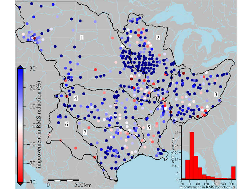
Bulging, Shrinking, and Deformation of Land by Hydrologic Loading
The deformation of continents by groundwater can be measured locally by GPS or detected from satellites, but more precisely monitored when measurements are combined with a hydrologic model.
Posted inScience Updates
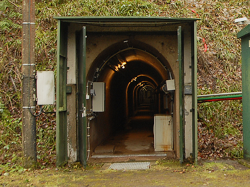
Recording Belgium’s Gravitational History
Instruments at Belgium’s Membach geophysical station set a new record for monitoring gravitational fluctuations caused by storm surges, groundwater fluctuations, and the Moon’s tidal pull.
Posted inEditors' Vox
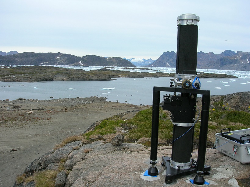
The Gravity of Geophysics
A recent article in Reviews of Geophysics examined terrestrial techniques for measuring changes in gravity over time and their application to the geosciences.
Posted inAGU News
Hudnut Receives 2017 Ivan I. Mueller Award for Distinguished Service and Leadership
Kenneth Hudnut will receive the 2017 Ivan I. Mueller Award for Distinguished Service and Leadership at the 2017 American Geophysical Union Fall Meeting, to be held 11–15 December in New Orleans, La. The award acknowledges “major achievements in service to and/or leadership within the field of geodesy.”
Posted inAGU News
Biggs Receives 2017 Geodesy Section Award
Juliet Biggs will receive the 2017 Geodesy Section Award at the 2017 American Geophysical Union Fall Meeting, to be held 11–15 December in New Orleans, La. The award is given “in recognition of major advances in geodesy.”

Posted inScience Updates
Airborne Platforms Help Answer Questions in Polar Geosciences
International Workshop on Airborne Geodesy and Geophysics with Focus on Polar Applications; Dresden, Germany, 19–21 April 2017