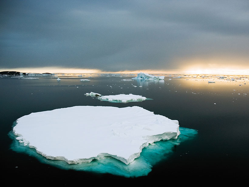
A new analysis of long-term satellite records shows the East Antarctic Ice Sheet is unexpectedly dependent on fluctuations in weather. This study may improve models of how much sea levels will rise.
geodesy
Posted inFeatures
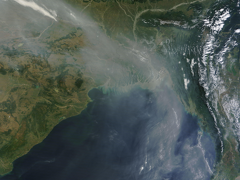
The Bay of Bengal and the Curious Case of the Missing Rift
In a classic detective story, clues from data new and old helped researchers reveal the puzzling chain of tectonic events that followed the Early Cretaceous split between India and Antarctica.
Posted inNews
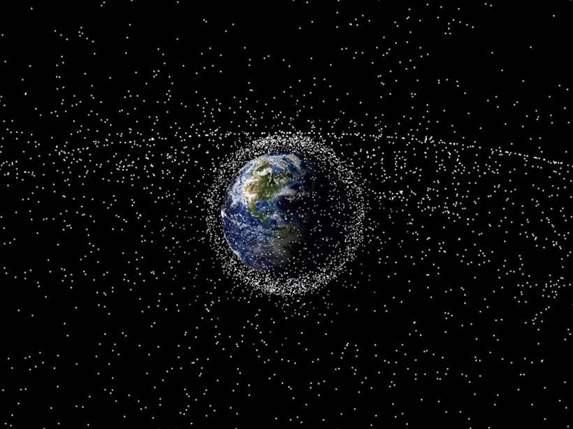
Flickers of Light Help Map the Space Junkyard
Researchers are identifying space debris by measuring its flickering patterns of reflected light.

Posted inResearch Spotlights
Land Motion Offers Insights into Cascadia Earthquake Cycle
Comparing recent GPS data with a longer record of sea level along the western coast of North America allows researchers to home in on interseismic deformation above the Cascadia megathrust.

Posted inNews
The First Global Geologic Map of the Moon
At a time when more geological data about the Moon are available than ever before, USGS scientists have created a one-stop shop where everyone, including the public, can see how it all fits together.
Posted inResearch Spotlights
A Graceful Way to Study Daily Water Storage on Land
A new analysis technique could help scientists improve the temporal resolution of satellite gravity data and see trends in terrestrial water storage and movement in near real time.
Posted inResearch Spotlights
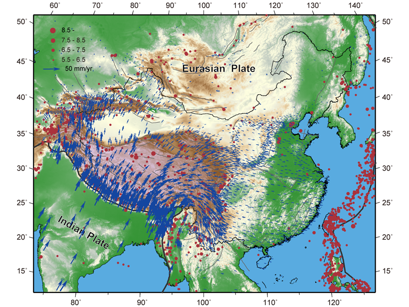
Space-Based Data Expand Understanding of Crustal Deformation
Researchers used the largest GPS data set yet to examine deformation of the crust across continental China and its implications for tectonic activity.
Posted inNews
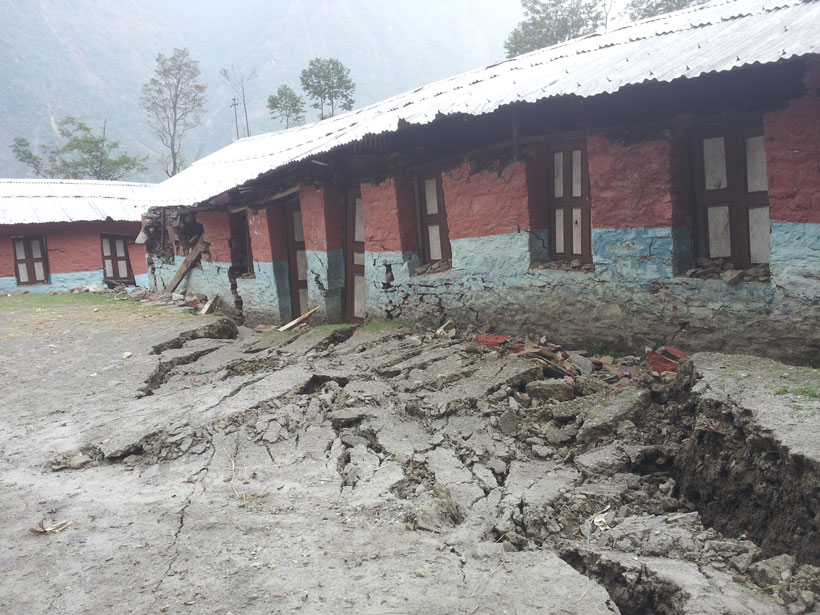
Geodetic Data Pinpoint Earthquake-Prone Regions of the Himalayas
GPS measurements of the Indian and Eurasian plates reveal four locked segments most likely to produce large earthquakes.

Posted inEditors' Highlights
Slow Slip By Any Other Name
Earth’s faults slip most catastrophically as earthquakes. The rise of geodesy reveals an array of slower slip events, meaning faults are nearly always active. Are these behaviors really so different?
Posted inAGU News
The Shape of the World
From new techniques in geodesy to the scientific culture we want to create, let’s start our next century together by assessing how we measure what’s most important.