The Himalayas are home to 9 out of the 10 tallest peaks on Earth. That mountain building is driven by plate tectonics, so it’s no surprise that earthquakes frequently rock the region. Now, using precise GPS-derived velocities of the Indian and Eurasian plates, researchers have pinpointed four sections of the 2,000-kilometer-long Himalayan arc most likely to unleash destructive earthquakes. Historical records of ground shaking stretching back to the 16th century are largely consistent with these findings, the team showed.
Earthquakes in a Crumple Zone
Roughly 50 million years ago, the northward moving Indian plate began colliding with the southward moving Eurasian plate. This slow-motion collision and ensuing subduction of the Indian plate under the Eurasian plate created a crumple zone of mountains we now call the Himalayas.
But the Indian plate isn’t diving cleanly under the Eurasian plate along the entire Himalayan arc—in some areas, the two plates are at a literal standstill, locked to one another and accumulating tectonic strain. When enough stress builds up, the plates accelerate rapidly and slide past one another, which can produce a large earthquake.
“We can use geodetic measurements to infer the degree of coupling.”
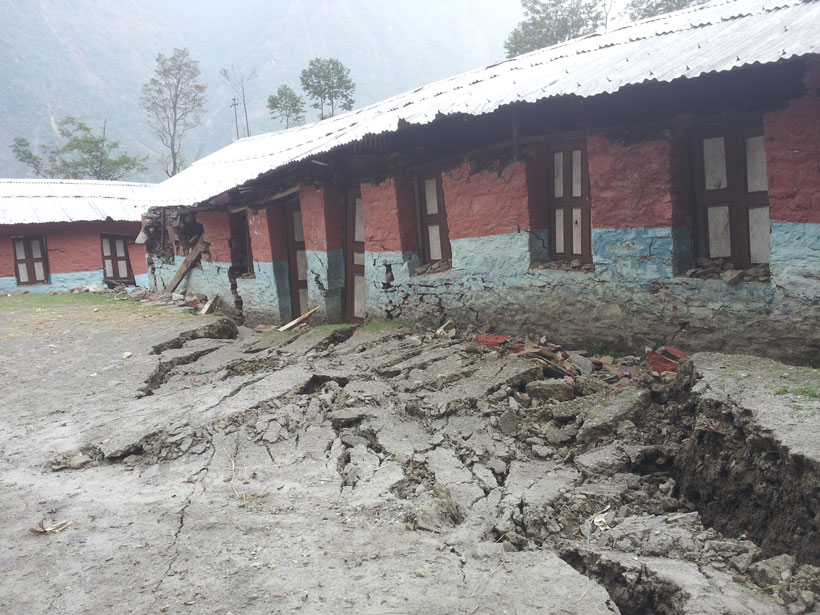
“The Main Himalayan Thrust is the plate boundary fault where India is colliding with Eurasia, and many large, recent earthquakes, including the 2015 Gorkha earthquake in Nepal, occurred along that fault,” said Marianne Karplus, a geophysicist at the University of Texas at El Paso not involved in the research.
To pinpoint which parts of the Himalayan arc are most at risk, Luca Dal Zilio, a geophysicist at the California Institute of Technology, and his colleagues investigated the degree of fault locking in the region. To do so, they compared the known convergence rates of the Indian and Eurasian plates (roughly 18 millimeters per year) with the plates’ relative velocities derived from measurements from over 270 GPS stations.
“We can use these geodetic measurements to infer the degree of coupling,” said Dal Zilio.
Creeping Along
Places where the plate convergence rate is about equal to the slippage of the Indian and Eurasian plates must have low levels of fault locking, the team concluded. They’re creeping along, slowly releasing strain, so they aren’t likely to unleash large earthquakes, Dal Zilio and his colleagues reasoned.
“Around the regions where we have low coupling, we don’t see—at least from historical data—any large events.”
That conclusion is borne out by the earthquake record—the three sections of low fault locking the researchers found have been largely immune to intense ground shaking. “Around the regions where we have low coupling, we don’t see—at least from historical data—any large events,” said Dal Zilio.
These areas coincide with known subsurface ridges, which might consist of folded sections of rock or faults oriented transverse to the Main Himalayan Thrust, the researchers suggest. “They potentially represent a sort of barrier,” said Dal Zilio, but more work needs to be done to better understand them. “We don’t know much, honestly.”
A Coiled Spring
On the other hand, regions where the Indian and Eurasian plates aren’t moving much relative to one another have high levels of fault locking, the scientists surmised. It’s these areas that are cause for concern since they’re storing up tectonic energy like a coiled spring. “That slip is accumulating over years and years,” said Dal Zilio.
In their modeling, Dal Zilio and his collaborators found four segments of the Himalayan arc characterized by high levels of fault locking. These regions, typically hundreds of kilometers long, encompass parts of India, Nepal, and Bhutan. By estimating the amount of slip stored up in these segments, the team estimated that large earthquakes in excess of magnitude 8.5 were possible. That’s supported by history: these regions are largely consistent with the lateral extensions of nine large (Mw = 7.5–8.7) temblors that occurred between 1505 and 2015, the team showed.
This work provides “a seismic hazard map of the Himalayan arc,” said Dal Zilio. That’s important because the region is home to millions of people, a sizeable fraction of whom live in densely populated cities filled with earthquake-prone structures.
The team’s results were published last month in Geophysical Research Letters.
This work contributes “important new models and ideas to the discussion of how the Main Himalayan Thrust geometry and seismogenic potential change across the Himalaya,” said the University of Texas at El Paso’s Karplus.
Dal Zilio and his colleagues are now using numerical models to better understand how earthquakes rupture near the Himalayan arc. Armed with data about fault geometry and subsurface geology, they’re simulating cycles of large earthquakes to determine why some events are full ruptures, meaning that they nucleate from the bottom of the seismogenic zone and propagate all the way up to the surface.
—Katherine Kornei (@KatherineKornei), Science Writer
Citation:
Kornei, K. (2020), Geodetic data pinpoint earthquake-prone regions of the Himalayas, Eos, 101, https://doi.org/10.1029/2020EO141610. Published on 19 March 2020.
Text © 2020. The authors. CC BY-NC-ND 3.0
Except where otherwise noted, images are subject to copyright. Any reuse without express permission from the copyright owner is prohibited.