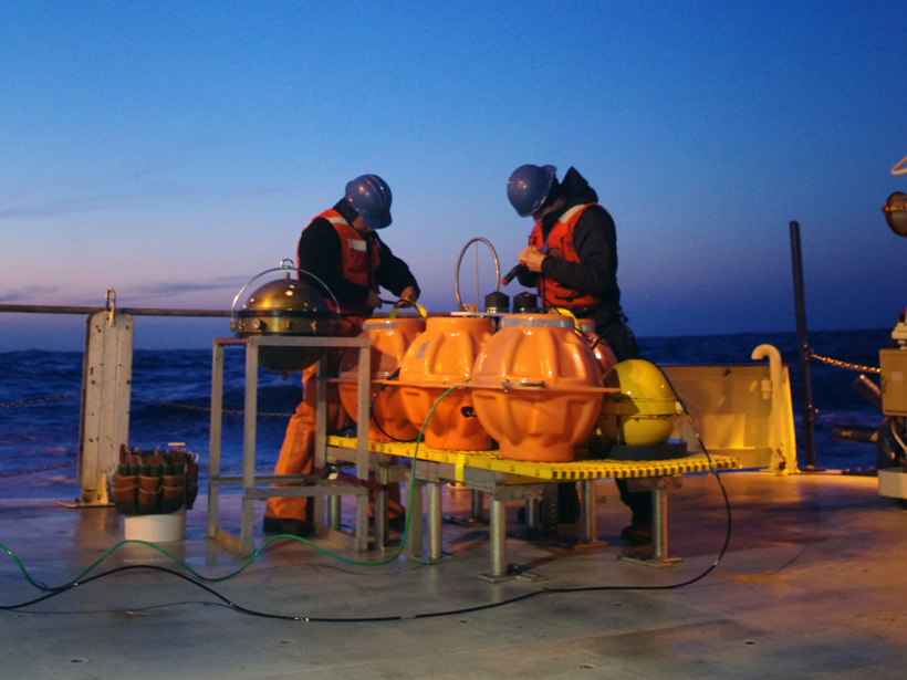
With enough sensors, traditional forecasting methods could be replaced by models continuously updated with real-time wave data.
Geophysical Research Letters
Posted inResearch Spotlights
Was the Recent Slowdown in Surface Warming Predictable?
The temporary deceleration in warming across the Northern Hemisphere earlier this century could not have been foreseen by statistical forecasting methods, a new study concludes.
Posted inResearch Spotlights
Electrons Thrown Off Course in Near-Earth Magnetic Reconnection
NASA Magnetospheric Multiscale (MMS) mission detects energy differences in electrons scattered by magnetic reconnection.
Posted inResearch Spotlights
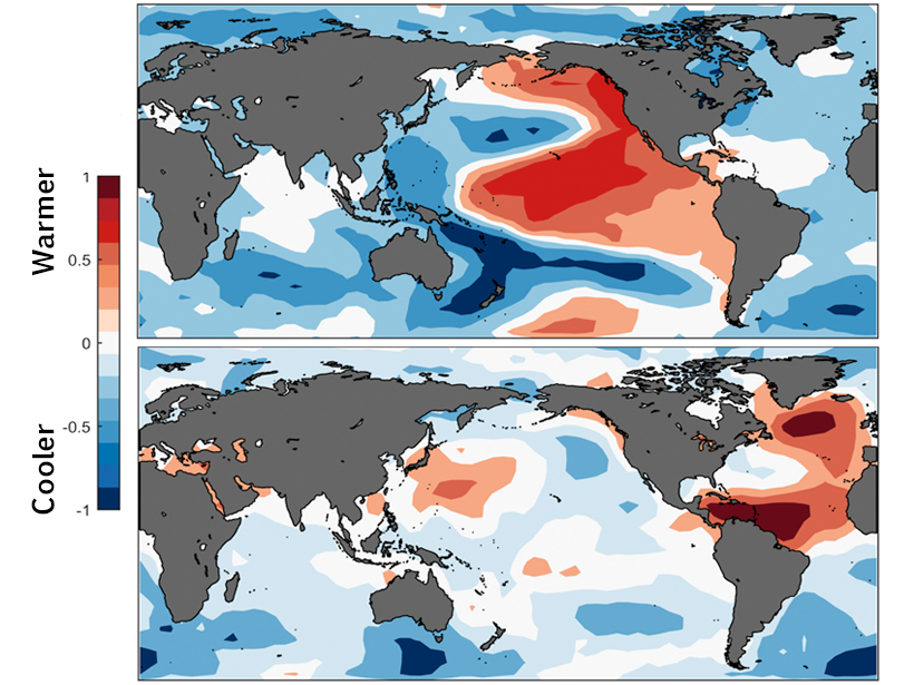
What Causes Long-Term North Atlantic Surface Temperature Cycles?
New evidence strengthens a likely link between 20- to 40-year sea surface temperature fluctuations and varying ocean circulation patterns.

Posted inResearch Spotlights
Volcanic Lightning Could Aid Hazard Response During Eruptions
Lightning and ash plume dynamics reflected eruption behavior and signaled the onset of fast-moving rock and gas flows during the 2015 eruption of Chile's Calbuco volcano.
Posted inResearch Spotlights
Improving the Identification of Extreme Precipitation Trends in the U.S.
By greatly reducing the associated uncertainty, a new model is better able to discern statistically significant trends, offering the potential to improve the seasonal forecasting of rare events.
Posted inResearch Spotlights
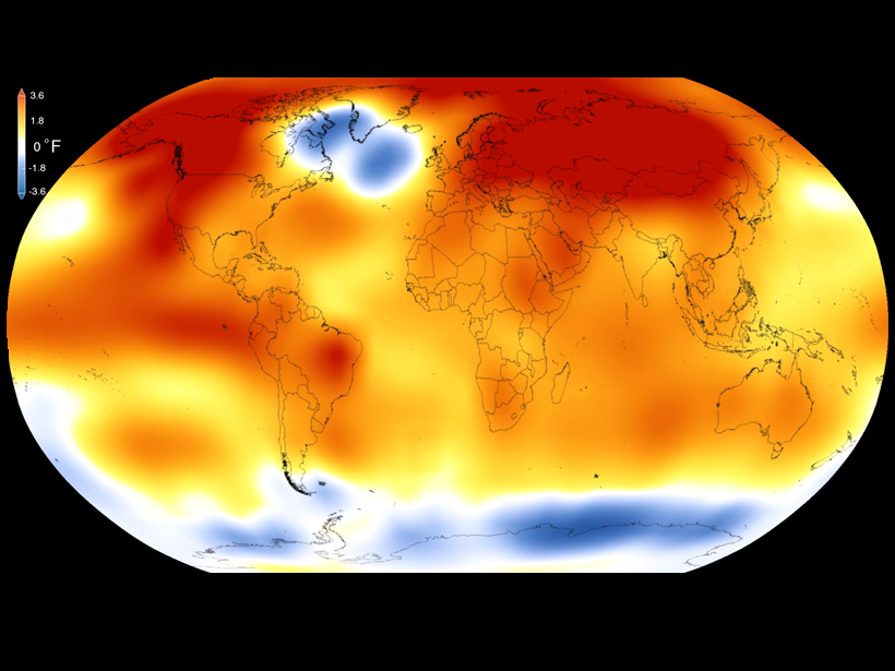
Researchers Attribute Human Influence on Climate Back to 1930s
A new study finds that humans likely have triggered the last 16 record-breaking hot years on Earth, up to 2014.
Posted inResearch Spotlights
Earthquakes May Prevent Underwater Landslides
Smaller quakes around the active edge of continental plates may contribute to increased stability by promoting compaction and solidifying the top 100 meters of seafloor sediment.
Posted inResearch Spotlights
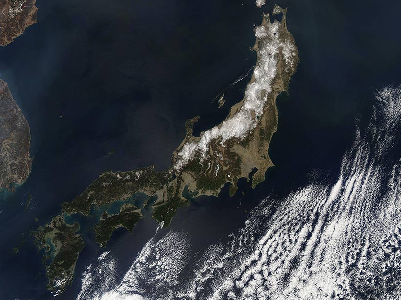
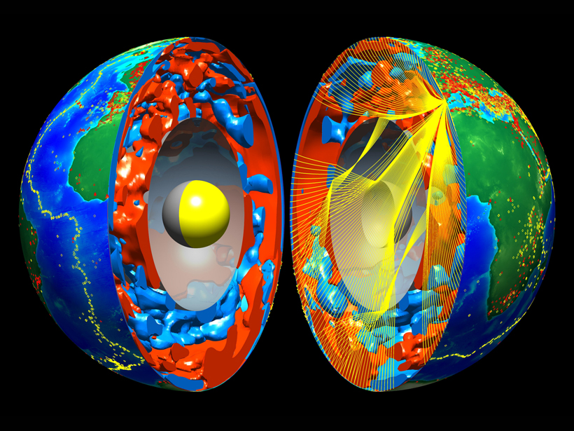
Massive Ancient Tectonic Slab Found Below the Indian Ocean
Scientists discover a surprisingly positioned tectonic plate, buried below the southern Indian Ocean, that spans the entire mantle.
Posted inResearch Spotlights
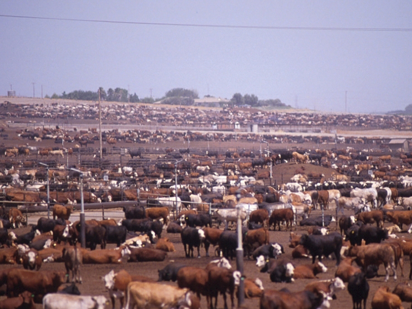
U.S. Methane Emissions on the Rise
Data suggest that the United States may be responsible for half of global methane increase in the past decade.