Source: Geophysical Research Letters
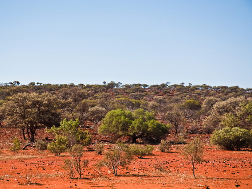
Terrestrial ecosystems such as grasslands, tundra, and temperate or tropical forests draw carbon dioxide from the atmosphere and store vast amounts of greenhouse gas. Semiarid regions in particular—where soil moisture is limited and responses to drought and floods are both rapid and substantial—are seen as more and more important to carbon dioxide variability. However, one enduring question for scientists studying Earth’s changing climate is how increasingly frequent droughts and floods will affect the carbon cycle.
Detmers et al. used satellite data to study how phases of heavy rainfall and drought affect carbon uptake over Australia, a semiarid continent where grasses and shrubs tend to dominate the landscape. The country experienced several extremely dry years prior to 2010 because of a particularly strong El Niño. Then, in late 2010, a strong La Niña brought relief from the drought and record-breaking precipitation. This caused a rapid increase in vegetation in 2011, which the team thought might have a significant effect on carbon uptake.
To find out, the researchers used the Greenhouse Gases Observing Satellite (GOSAT), one of only two short-wave infrared satellites currently capable of taking measurements of carbon dioxide in the air column. The researchers compared GOSAT short-wave infrared Fourier transform spectrometer data collected between 2009 and 2013 with water level data from Gravity Recovery and Climate Experiment observations to approximate drought and used satellite measurements of solar-induced chlorophyll fluorescence as a proxy for vegetation levels. The team also used the Global Fire Emissions Database to estimate carbon dioxide emissions from biomass burning, as large swaths of Australian grasslands burn every year, dumping carbon into the atmosphere.
The data revealed a carbon sink over Australia from the end of 2010 until 2012, when heavy rains increased the growth of grasses and shrubs across the interior of the continent. The sink swallowed up roughly 0.77 gigaton of carbon per year, persisting despite a significant increase in biomass burning emissions that occurred during the dry season of 2011, fueled by the rapid growth of vegetation that year. The study shows that satellite observations of atmospheric carbon dioxide levels are a useful tool toward understanding how semiarid ecosystems will respond to climate change in the future. (Geophysical Research Letters, doi:10.1002/2015GL065161, 2015)
—Kate Wheeling, Freelance Writer
Citation: Wheeling, K. (2016), Satellites reveal a temporary carbon sink over Australia, Eos, 97, doi:10.1029/2016EO044753. Published on 8 February 2016.
Text © 2016. The authors. CC BY-NC 3.0
Except where otherwise noted, images are subject to copyright. Any reuse without express permission from the copyright owner is prohibited.