Researchers use computer simulations to find the date and earthquake source of an ancient tsunami that deposited sediment in a Hawaii sinkhole.
Geophysical Research Letters
Posted inResearch Spotlights
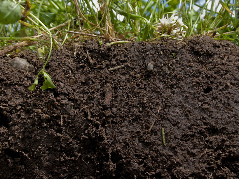
Microbial Activity in Dry Soils
Researchers investigate how microbes respire in dry conditions.

Posted inResearch Spotlights
Wave Energy Affects the Surf Zone Heat Budget
A study of water temperature in nearshore environments shows that wave energy was the second-largest driver of temperature changes in the surf zone.
Posted inResearch Spotlights
Seismic Wave Modeling Goes Local
A new technique brings accurate models of traveling seismic waves to a regional scale.

Posted inResearch Spotlights
Polar Warming Makes the Jet Stream Stable, Not Wavy or Blocked
An idealized climate model suggests polar warming stabilizes the jet stream and reduces atmospheric blocking at midlatitudes.

Posted inResearch Spotlights
Warming Hiatus Periods to Become Increasingly Unlikely
Anthropogenic climate change is reducing the likelihood of the Earth seeing another slowdown in the rate of surface warming.
Posted inResearch Spotlights
How the Solar Wind May Affect Weather and Climate
The Sun's influence on the Earth's climate is complicated, but researchers are slowly figuring out how the solar wind can indirectly affect clouds over the poles.

Posted inResearch Spotlights
How Do Aquatic Plants Direct Where Other Stalks Grow?
By changing the flow of the river, aquatic plants affect the distribution of nutrients on the riverbed.
Posted inResearch Spotlights
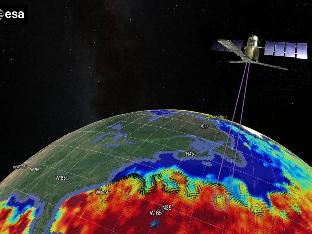
Satellite Salinity Data Improves Gulf Stream Eddy Detection
A pronounced contrast in salinity between the Gulf Stream and current rings makes satellite salinity measurements valuable.
Posted inResearch Spotlights
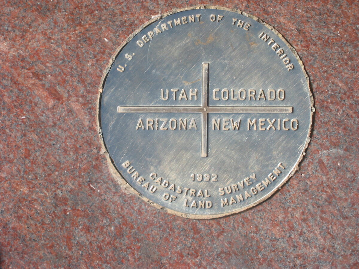
Southwest’s Four Corners Home to Largest U.S. Methane Signal
Satellite data reveal fossil fuel harvesting operations in the Southwest's Four Corners are generating the country's largest methane signal viewable from space.