

An idealized climate model suggests polar warming stabilizes the jet stream and reduces atmospheric blocking at midlatitudes.
Geophysical Research Letters

Posted inResearch Spotlights
Warming Hiatus Periods to Become Increasingly Unlikely
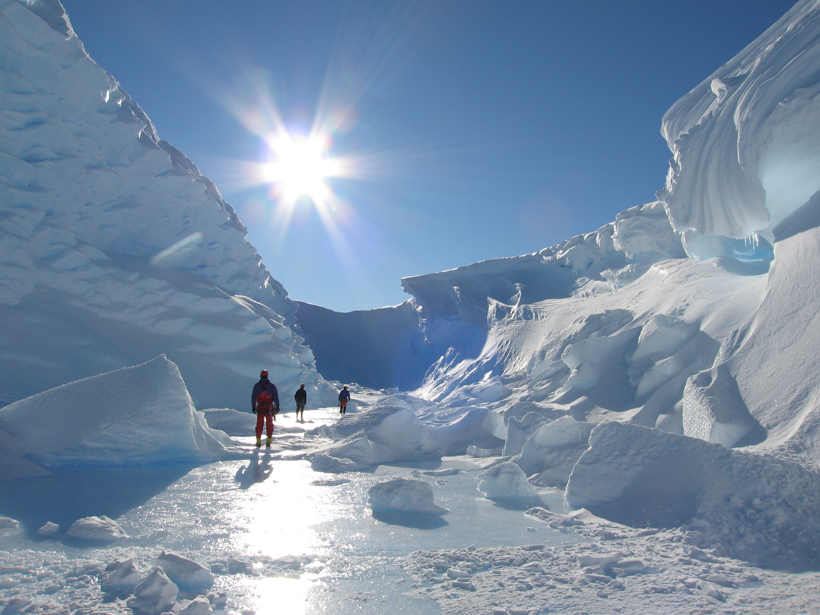
Anthropogenic climate change is reducing the likelihood of the Earth seeing another slowdown in the rate of surface warming.
Posted inResearch Spotlights
How the Solar Wind May Affect Weather and Climate

The Sun's influence on the Earth's climate is complicated, but researchers are slowly figuring out how the solar wind can indirectly affect clouds over the poles.

Posted inResearch Spotlights
How Do Aquatic Plants Direct Where Other Stalks Grow?
By changing the flow of the river, aquatic plants affect the distribution of nutrients on the riverbed.
Posted inResearch Spotlights
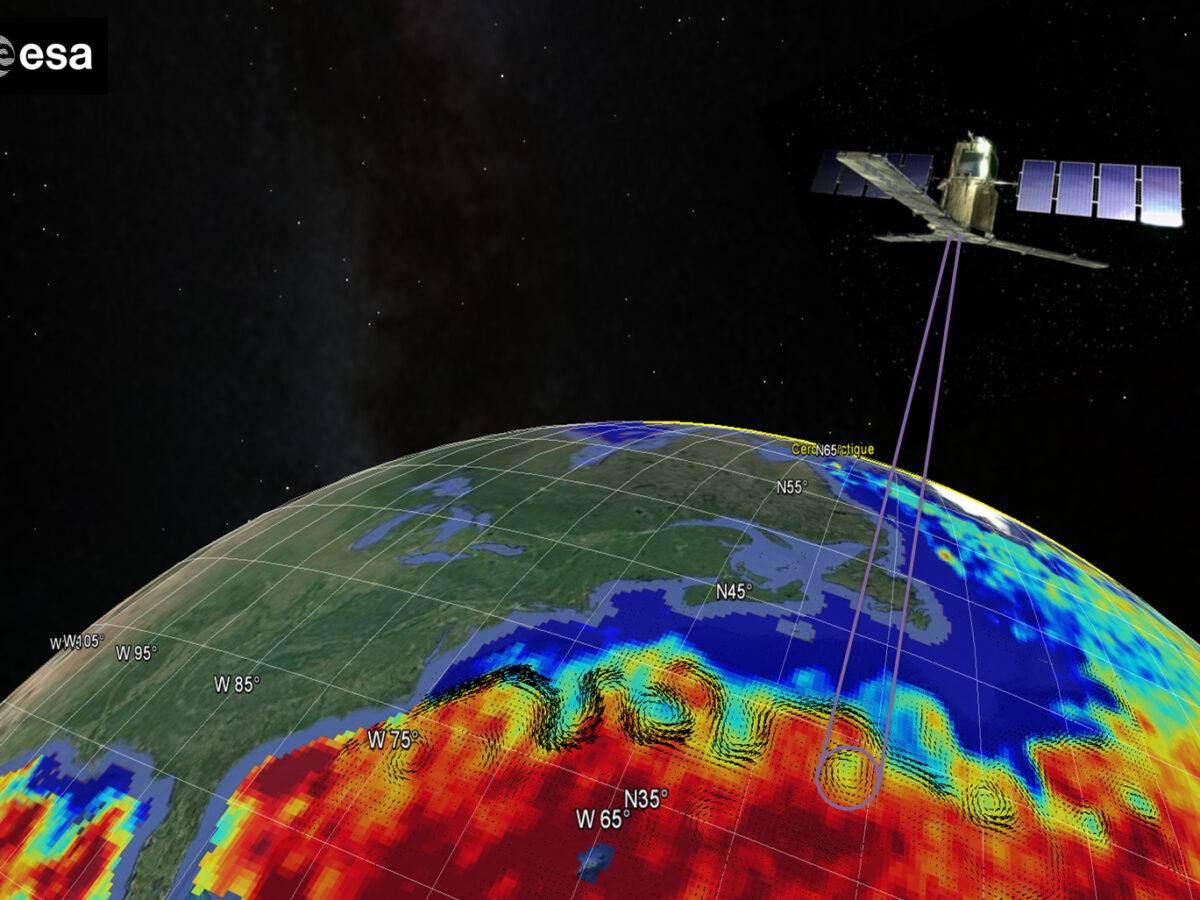
Satellite Salinity Data Improves Gulf Stream Eddy Detection
A pronounced contrast in salinity between the Gulf Stream and current rings makes satellite salinity measurements valuable.
Posted inResearch Spotlights
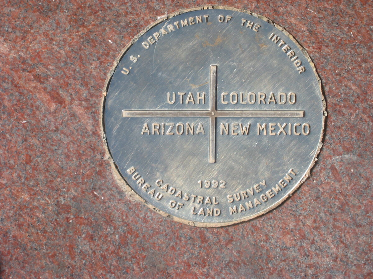
Southwest’s Four Corners Home to Largest U.S. Methane Signal
Satellite data reveal fossil fuel harvesting operations in the Southwest's Four Corners are generating the country's largest methane signal viewable from space.

Posted inResearch Spotlights
Ancient Earthquakes Made an Island Rise and Fall
Observations track elevation changes of an island in the Kodiak Archipelago to past ruptures of the Alaska-Aleutian megathrust fault.
Posted inResearch Spotlights
Circulation a Key Factor in Mediterranean Algal Growth
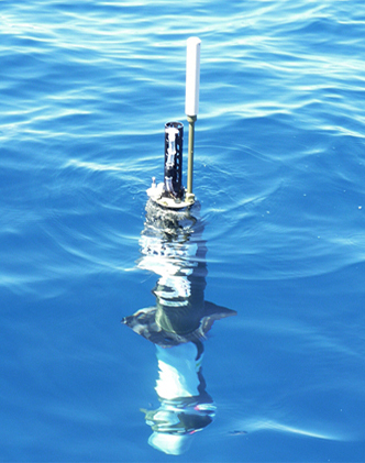
Scientists use satellite and robotic field data to study the environmental conditions driving phytoplankton blooms in the northwestern Mediterranean Sea.

Posted inResearch Spotlights
Seafloor Changes Above the Tohoku-Oki Earthquake Rupture Zone
Three years after the devastating earthquake, transponders record afterslip deformation on the seabed above the Tohoku-Oki rupture zone.
Posted inResearch Spotlights
El Niño Fades Without Westerly Wind Bursts
Pacific Ocean conditions brought El Niño winter forecasts in early 2014, but the chances faded by late summer. New research places blame on shifting winds.