
Editors’ Vox is a blog from AGU’s Publications Department.
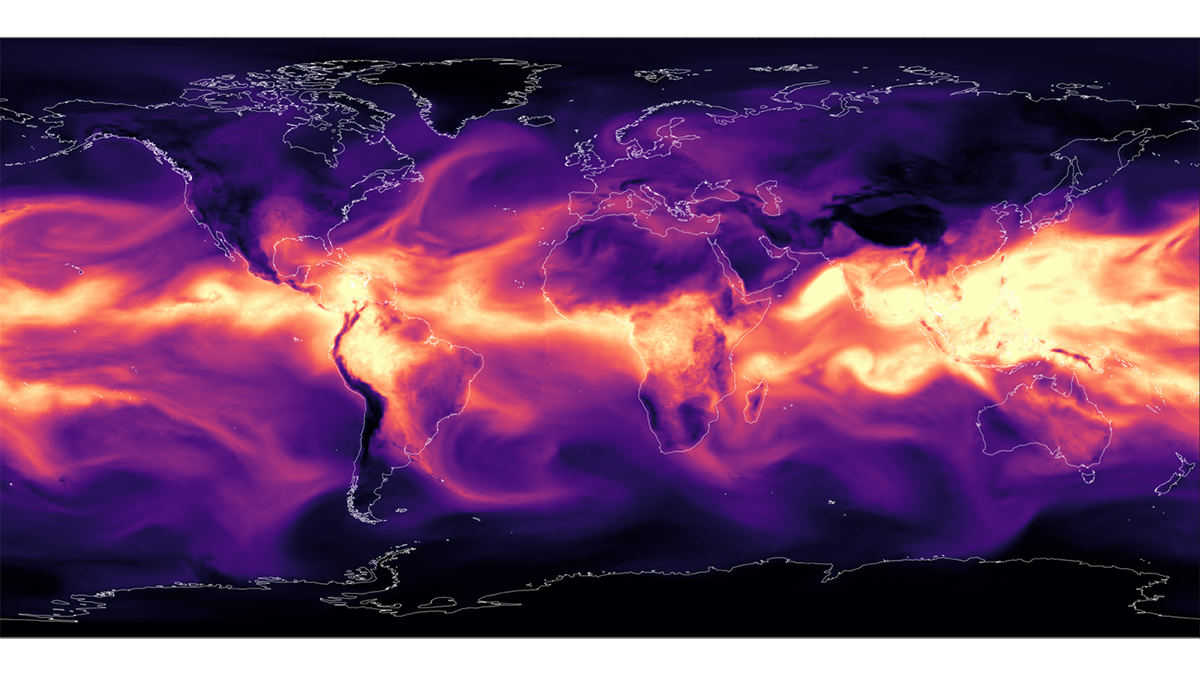
What started as a one-time hourlong training on Python at an air quality science event in 2018 grew to recurring sold-out workshops at major geoscience conferences and a best-selling book now on its second edition. Author Rebekah Esmaili was inspired to simultaneously teach Python skills while showcasing the vital, publicly available imagery produced by Earth satellites—and demonstrate how synthesizing the two can help geoscientists overcome common research and data challenges.
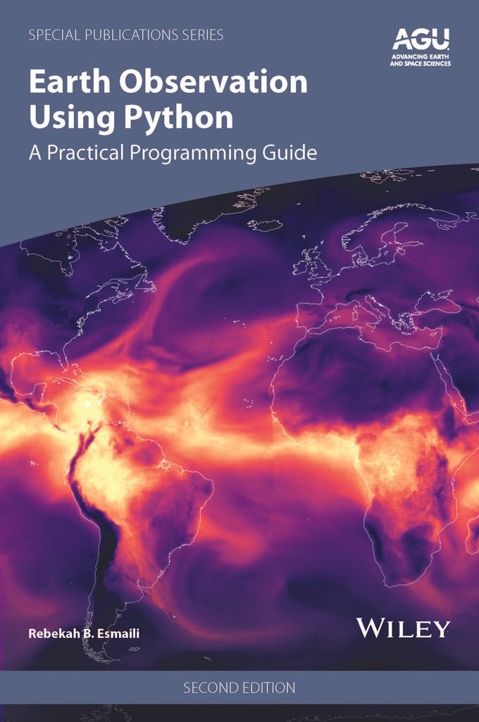
Significantly updated from the 2021 edition, Earth Observation Using Python: A Practical Programming Guide, Second Edition, applies Python programming techniques to satellite datasets through step-by-step exercises for various Earth science domains. We asked Esmaili about the benefits of learning Python skills, what new materials readers can expect in the second edition, and her top tips for getting started.
What are earth observation data, and how are they used to address problems facing science and society?
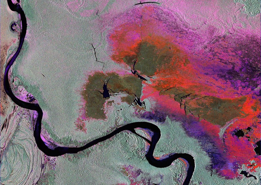
Earth observations are any geophysical measurement using an instrument to study the past, present, and future of our planet. That definition encompasses a lot of environmental sensors, such as ground observations, aircraft, drones, and Earth orbiting satellites. Professionally, I am drawn to satellite observations because they are used by weather forecasters to track and monitor natural hazards. During my career, my work involved creating algorithms that transform raw satellite signals into geophysical values, like air temperature and water vapor, to study severe weather. More recently, I used machine learning techniques to detect data anomalies in satellite imagery used by forecasters. Beyond what I focus on for my own research, satellites have observed the Earth since the 1960s and thus can monitor changing environmental patterns in the ocean, cryosphere, and land surface.
There are large volumes of publicly available satellite data that can be applied to problems in academia, disaster management, agriculture, and insurance. The challenge lies in knowing how to process, analyze, and display the data, but Python can greatly simplify these tasks.
Why is it important for geoscientists to learn how to apply Python programming skills to earth observation datasets?
Satellite datasets are commonly stored in binary formats with three or more dimensions, which geoscientists can easily import, analyze, and display with Python. Extended by well-supported packages like Xarray, scikit-lean, and Matplotlib, Python code can be customized to process remote sensing data from all types of sensors and across geophysical domains. Besides data processing, researchers can use Python for other computing tasks, such as automation, scripting, and file management. Python is open-source, which benefits the community by encouraging research that is shareable, transparent, and reproducible. Additionally, Python is especially helpful to learn as an early-career researcher because it is free and you can take your skills with you if you change institutions and employers.
What Python programming skills will readers learn from your book, and how can these skills be used in their research and careers?
My book helps curate the innumerable Python packages, skills, and concepts specific to geoscience research using real world examples.
There are lots of Python learning resources and, more recently, AI assistants that are useful for developing boilerplate code. However, there are few specialized resources for the geosciences. My book helps curate the innumerable Python packages, skills, and concepts specific to geoscience research using real world examples. One case study in the book is Hurricane Melissa (2025), which caused catastrophic damage in the Caribbean. I use real geostationary and low-earth orbit satellite datasets to show common challenges when working with Earth satellite data, such as opening complex file formats, combining and resizing datasets, transforming coordinates, correcting imagery, and creating plots. There are more possible datasets and applications than the ones I describe in the book, but the skills gained by working through these natural hazard case studies are transferrable to other remote sensing datasets and geoscience problems.
What inspired the first edition of this book?
In graduate school, there was rarely a single resource that I could reference for research. I had to rely on assembling information from my advisors, fellow graduate students, and the internet. While the struggle was valuable for my learning, I felt I was spending 80% of my time debugging code and only 20% of my time doing science. After I graduated, I wanted to share what I learned with others as a way to serve the community. I created tutorials for my work colleagues, which over time evolved into my first AGU scientific workshop in 2018. The first edition of the book was published in 2021 as a way for me to share the content with a broader audience and to cover more topics than I could in a workshop. My goal in writing this book is to help scientists increase their productivity, utilize freely available remote sensing data, and share their work.
Why is now the time for a second edition? What new content and special features will readers find in this edition?
Python is built by a community of volunteers, so it evolves frequently and organically compared to older languages like Fortran. Likewise, the practices in the geoscience community have shifted, such as the greater adoption of Xarray for working with satellite datasets.
The core philosophy of the book is to demonstrate transferrable skills in remote sensing, not chase temporary trends.
The biggest changes since the first edition are the exponential rise of cloud computing and machine learning. In addition to adding new content and on these topics, I updated nearly all the tutorials to reflect new satellite launches, major environmental events, and feedback from the community. Even with all these changes, the core philosophy of the book is to demonstrate transferrable skills in remote sensing, not chase temporary trends.
How is the book organized, and who is the intended audience?
The book is tutorial based, so it is written as a workbook rather than a volume that dives deep into theory. I start with simple concepts and gradually add complexity within each tutorial. There are still some equations, but I show how to break them down and turn them into code. My example-driven approach is geared towards early-career students and researchers who are interested in using remote sensing data but need help getting started with Python. It is also a resource for mid- or late-career scientists who knew another programming language (e.g., Fortran) but want to transfer those skills to a newer language. I am an atmospheric scientist, but the examples also use ocean, cryosphere, and land surface data, so the book is relevant to all geoscientists.
What advice would you give to a geoscientist starting their Python journey?
I believe in the adage “perfection is the enemy of good.” First, you do not have to wait for the perfect time to start something new like Python, and it will take time for it to feel natural. Plan a project that interests you and chip away at it. Second, your code does not have to be perfectly clean or optimized before you share it with others. In fact, a great way to learn is to return to and improve your past coding projects following peer feedback. Finally, there are many different ways to approach a coding problem, so embrace creativity over rigid rules. Perfection is stifling, do your best with the time and energy you have, and celebrate your incremental progress because it adds up to something great.
—Rebekah Esmaili ([email protected];  0000-0002-3575-8597), Physical Scientist, Silver Spring, Maryland USA
Earth Observation Using Python: A Practical Programming Guide, 2nd Edition, 2026. ISBN: 978-1-394-31924-4. List price: $195 (hardcover).
Chapter 1 is freely available. Visit the book’s page on Wiley.com and click on “Read an Excerpt” below the cover image.
Editor’s Note: It is the policy of AGU Publications to invite the authors or editors of newly published books to write a summary for Eos Editors’ Vox.