The simplest model, based on polynomials, yields the best performance.
machine learning & AI

Posted inResearch Spotlights
AI Improves Earthquake Detection
A new study shows the pros and cons of different model training methods.

Posted inResearch Spotlights
Machine Learning Rediscovers Equations Governing Ocean Biogeochemistry
Researchers used a process called symbolic regression to derive the equations from a biogeochemical model of the ocean.

Posted inScience Updates
Vast Space, Sparse Data: An AI Answer to Twin Space Weather Challenges
Modern machine learning and AI methods can help heliophysics researchers and space weather forecasters overcome limitations from a dearth of observations and the infrequency of extreme events.
Posted inResearch Spotlights
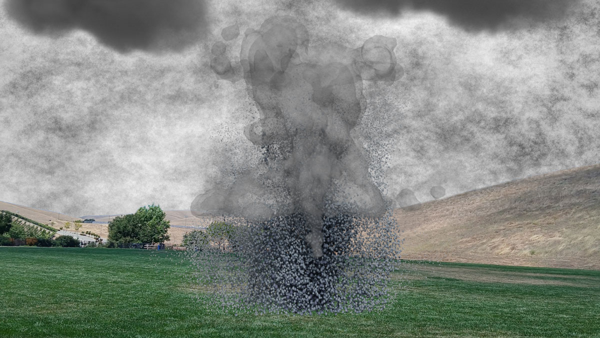
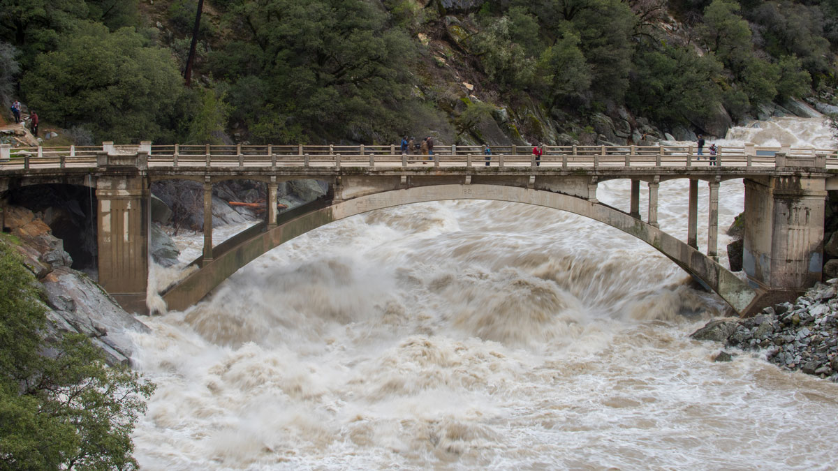
Keeping Humans in the Loop Improves Flood Forecasting
Artificial intelligence and machine learning can improve flood predictions—but human expertise still matters for accurate warnings, new research says.

Posted inEditors' Vox
Tracing Water’s Hidden Journey Through the Earth’s Living Skin
Water’s natural fingerprints reveal how it’s stored, mixed, and released through the Earth’s Critical Zone, potentially improving Earth System models in a rapidly warming world.
Posted inEditors' Highlights
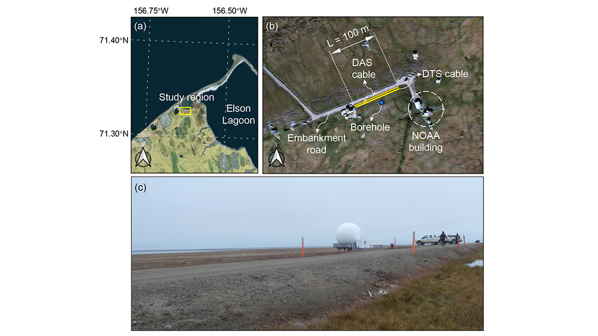
A Digital Twin for Arctic Permafrost Beneath Roads
A physics-informed digital twin uses high-resolution temperature data to track, update, and predict permafrost conditions beneath an Alaskan embankment road.

Posted inOpinions
The Genesis Mission Needs Hydrology: Here’s How to Incorporate It
By positioning water security as one of the “most challenging problems of this century,” the Genesis Mission can become the sandbox in which AI reshapes how the United States measures, models, and manages water.

Posted inResearch Spotlights
How to Study Coastal Evolution
Researchers reviewed what’s known about how coastlines are changing and made recommendations for how to learn more.
Posted inEditors' Highlights
Machine Learning Can Improve the Use of Atmospheric Observations in the Tropics
Scientists develop a novel machine learning-based technique that is equally effective in gaining information from observations about the unobserved state variables in the midlatitudes and tropics.