
Researchers used machine learning to develop a model that can predict lightning strikes to within 30 minutes of their occurrence and within 30 kilometers of a weather station by using just four simple atmospheric measurements.
machine learning & AI

Posted inNews
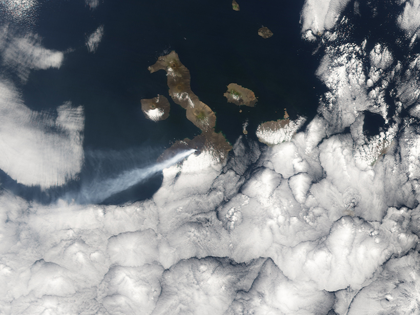
Using Satellites and Supercomputers to Track Arctic Volcanoes
New data sets from the ArcticDEM project help scientists track elevation changes from natural hazards like volcanoes and landslides before, during, and long after the events.
Posted inEditors' Highlights
Using a Machine to Help Us Learn About Jupiter’s Aurora
A first usage of principal component analysis on Hubble images of Jupiter’s auroral ovals reveals the most common patterns, and machine learning classification reveals their physical causes.
Posted inResearch Spotlights
Forecasting Volcanic Eruptions with Artificial Intelligence
A machine learning algorithm automatically detects telltale signs of volcanic unrest.
Posted inFeatures
Machine Fault
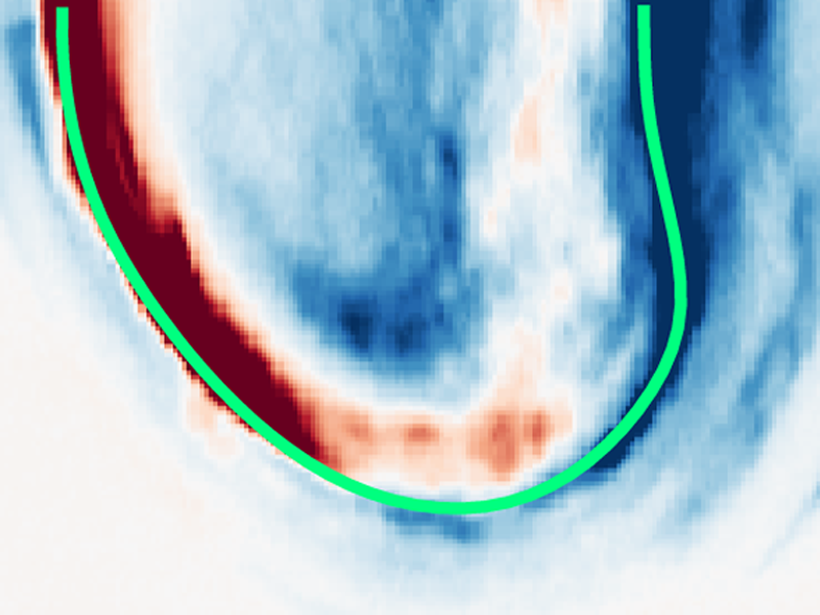
Applying machine learning to subtle acoustic signals from an earthquake machine has revealed big clues about fault behavior in the lab.

Posted inNews
Computers Tease Out Secrets of Jupiter’s Aurorae
Aurorae once classified by human eyes are now being sorted by machines. The change may help astronomers understand how the mysterious features are powered.

Posted inNews
Virtual Super Instrument Enhances Solar Spacecraft
The same algorithms that help control self-driving cars and speech-to-text functionality have helped build a virtual instrument to study the Sun.

Posted inEditors' Highlights
Machine Learning Improves Satellite Rainfall Estimates
A new deep learning approach bridges ground rain gauge and radar data with spaceborne radar observations of Tropical Rainfall Measuring Mission to improve precipitation estimation.

Posted inOpinions
Thoughtfully Using Artificial Intelligence in Earth Science
Deriving scientific insights from artificial intelligence methods requires adhering to best practices and moving beyond off-the-shelf approaches.

Posted inNews
Artificial Intelligence May Help Predict El Niño
Deep learning techniques give scientists the longest–lead time forecasts yet.