
A new cross-journal special collection invites contributions on how machine learning can be used for solid Earth observation, modeling and understanding.
machine learning & AI
Posted inResearch Spotlights
Interpreting Neural Networks’ Reasoning
New methods that help researchers understand the decision-making processes of neural networks could make the machine learning tool more applicable for the geosciences.

Posted inEditors' Highlights
Machine Learning Predicts Subsidence from Groundwater Pumping
Machine learning and data on aquifer type, sediment thickness, and proxies for irrigation water use has been used to produce the most comprehensive map of land subsidence in the western U.S. to date.
Posted inOpinions
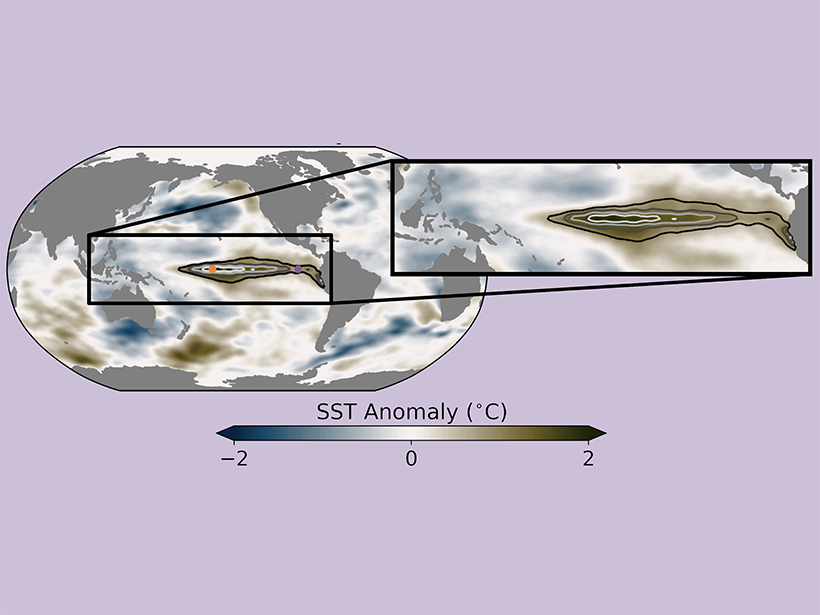
Earth System Modeling Must Become More Energy Efficient
As weather and climate models grow larger and more data intensive, the amount of energy needed to run them continues to increase. Are researchers doing enough to minimize the carbon footprint of their computing?

Posted inOpinions
Weathering Environmental Change Through Advances in AI
Developing trustworthy artificial intelligence for weather and ocean forecasting, as well as for long-term environmental sustainability, requires integrating collaborative efforts from many sources.

Posted inAGU News
The Rise of Machine Learning
Our August issue explores the way we process, analyze, and clearly present the massive amounts of information collected by scientists today.

Posted inEditors' Highlights
Who Wants to Count All the Craters on Mars? Not Me!
Humans found hundreds of thousands of craters on Mars greater than 1 kilometer in diameter, but now computers automate the process delivering crater counts as well as geologically meaningful ages.
Posted inEditors' Highlights
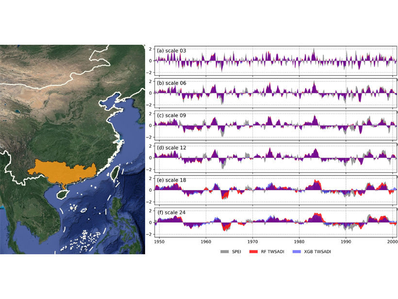
Ensemble Learning Estimates Terrestrial Water Storage Changes
Ensemble learning models for estimating past changes of terrestrial water storage from climate are presented and tested in the Pearl River basin, China.

Posted inEditors' Highlights
The Perils of Computing Too Much and Thinking Too Little
Big steps forward are synonymous with new ideas – a thought that merits mindfulness if we aspire to train students to do more than merely train machines.

Posted inNews
Machine Learning Can Help Decode Alien Skies—Up to a Point
Astronomers are testing the tools that might help them keep up with the upcoming storm of exoplanet atmosphere data.