• About
  • Special Reports
  • Topics
    • Climate
    • Earth Science
    • Oceans
    • Space & Planets
    • Health & Ecosystems
    • Culture & Policy
    • Education & Careers
    • Opinions
  • Projects
    • Postcards From the Field
    • ENGAGE
    • Editors’ Highlights
    • Editors’ Vox
    • Eos en Español
    • Eos 简体中文版
    • Print Archive: 2015–2025
  • Policy Tracker
  • Blogs
    • Research & Developments
    • The Landslide Blog
  • Newsletter
  • Submit to Eos
  • AGU.org
  • Career Center
  • Join AGU
  • Give to AGU
  • About
  • Special Reports
  • Topics
    • Climate
    • Earth Science
    • Oceans
    • Space & Planets
    • Health & Ecosystems
    • Culture & Policy
    • Education & Careers
    • Opinions
  • Projects
    • Postcards From the Field
    • ENGAGE
    • Editors’ Highlights
    • Editors’ Vox
    • Eos en Español
    • Eos 简体中文版
    • Print Archive: 2015–2025
  • Policy Tracker
  • Blogs
    • Research & Developments
    • The Landslide Blog
  • Newsletter
  • Submit to Eos
Skip to content
  • AGU.org
  • Career Center
  • Join AGU
  • Give to AGU
Eos

Eos

Science News by AGU

Support Eos
Sign Up for Newsletter
  • About
  • Special Reports
  • Topics
    • Climate
    • Earth Science
    • Oceans
    • Space & Planets
    • Health & Ecosystems
    • Culture & Policy
    • Education & Careers
    • Opinions
  • Projects
    • Postcards From the Field
    • ENGAGE
    • Editors’ Highlights
    • Editors’ Vox
    • Eos en Español
    • Eos 简体中文版
    • Print Archive: 2015–2025
  • Policy Tracker
  • Blogs
    • Research & Developments
    • The Landslide Blog
  • Newsletter
  • Submit to Eos

Hazards & Disasters

Aerial photo of a ship in an oil slick
Posted inNews

Leveraging Satellite Sensors for Oil Spill Detection

Sarah Derouin, Science Writer by Sarah Derouin 26 March 202018 May 2022

By using multiple remote sensors, scientists can quickly estimate the nature and thickness of oil spills—important factors for containment efforts.

Oil on the surface of the Gulf of Mexico in June 2012 after the Deepwater Horizon spill
Posted inAGU News

Deepwater Horizon’s Legacy of Science

Heather Goss, AGU Publisher by Heather Goss 25 March 202018 May 2022

The biggest oil spill in history resulted in billions of dollars in settlements—and a massive scientific movement.

Candidatus Macondimonas diazotrophica visible both inside and around the edges of oil droplets
Posted inFeatures

Deepwater Horizon and the Rise of the Omics

by J. Kostka, S. B. Joye and Rita R. Colwell 25 March 202018 May 2022

Microbial genomics techniques came of age following the Deepwater Horizon spill, offering researchers unparalleled insights into how ecosystems respond to such environmental disasters.
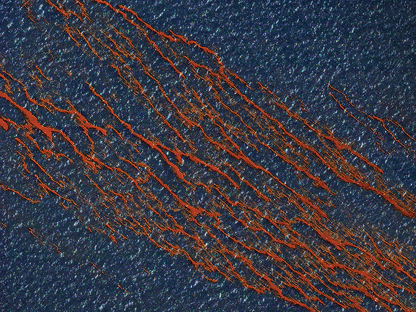
Oil from the Deepwater Horizon disaster floats in the Gulf of Mexico in April 2010.
Posted inFeatures

Modeling Under Pressure

Mark Betancourt, Freelance Journalist by Mark Betancourt 25 March 202019 August 2022

At a critical moment in the effort to end one of the world’s worst oil spills, one scientist holed up in his office and pulled an all-nighter to calculate the well’s aquifer support.

Painting of the death of Julius Caesar
Posted inNews

Podcast: Et Tu, Etna?

Liza Lester, staff writer by L. Lester 24 March 20206 March 2026

Global environmental calamity followed the death of Caesar. The source may have been a volcano in Sicily.

A dredge works through the night to clear shoaling along the Mississippi River at New Orleans.
Posted inFeatures

High Water: Prolonged Flooding on the Deltaic Mississippi River

by N. M. Gasparini and B. Yuill 20 March 202027 October 2022

Changing climate and land use practices are bringing extended periods of high water to the lower Mississippi River. New management practices are needed to protect people, industry, and the land.
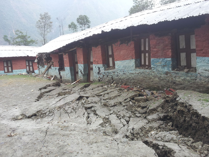
Large earthen rupture foregrounds a brightly colored school building damaged by an earthquake.
Posted inNews

Geodetic Data Pinpoint Earthquake-Prone Regions of the Himalayas

Katherine Kornei, Science Writer by Katherine Kornei 19 March 20207 October 2022

GPS measurements of the Indian and Eurasian plates reveal four locked segments most likely to produce large earthquakes.

Three-part image showing maps of the Missouri River near Council Bluffs, Iowa, and Omaha, Neb., in 1893 (left) and 2013 (middle) as well as a satellite image of the same area from 2019
Posted inOpinions

It’s Time to Revise Estimates of River Flood Hazards

by G. Sofia, E. I. Nikolopoulos and L. Slater 16 March 202021 February 2023

Accurately assessing flood hazards requires a better understanding of the feedbacks between natural and human influences on the characteristics of rivers.
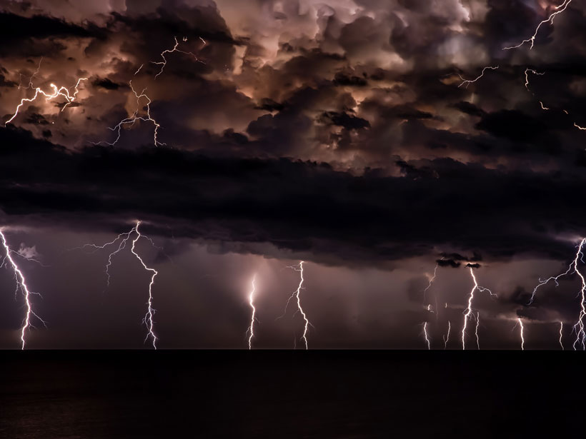
Multiple lightning strikes descend from clouds at night
Posted inNews

Mapping Lightning Strikes from Space

Richard Sima, freelance science writer by Richard J. Sima 13 March 202025 July 2022

A new technique spatially tracks lightning in real time and has been adapted by the National Weather Service.
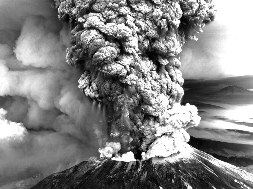
Black-and-white image of Mount St. Helens in 1980 with a billowing ash plume
Posted inFeatures

U.S. Readies Health Response for the Next Big Eruption

Kimberly M. S. Cartier, News Writing and Production Intern for Eos.org by Kimberly M. S. Cartier 12 March 202010 May 2022

Forty years after the explosive eruption of Mount St. Helens, scientists, communities, and civic officials are evaluating plans to best protect public health before, during, and after an eruption.

Posts pagination

Newer posts 1 … 106 107 108 109 110 … 185 Older posts
Over a dark blue-green square appear the words Special Report: The State of the Science 1 Year On.

Features from AGU Publications

Research Spotlights

A Decade of Carbon Dioxide Data from Space Gets an Upgrade

30 October 202630 October 2026
Editors' Highlights

Connecting Radio Wave Disruption to “Hot” Charged Particles from Afar

30 October 202630 October 2026
Editors' Vox

Opening Access to Earth Observation Data for Disaster Mitigation

21 October 202620 October 2026
Eos logo at left; AGU logo at right

About Eos
ENGAGE
Awards
Contact

Advertise
Submit
Career Center
Sitemap

© 2026 American Geophysical Union. All rights reserved Powered by Newspack