


Lightning, fire vortices, and black hail are some of the frightening features of fire-fueled storms, which may become more common in the future.
Hazards & Disasters
Posted inFeatures
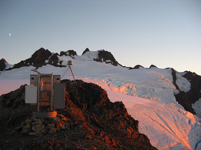
Seismic Sensors in Orbit
Navigation satellites are enabling high-precision, real-time tracking of ground displacements, supplementing traditional methods for monitoring and assessing earthquakes.

Posted inNews
Atmospheric Rivers Have Different “Flavors”
New research is helping scientists understand why moisture-laden atmospheric rivers of similar intensities have different effects on land.

Posted inNews
Using Satellites and Supercomputers to Track Arctic Volcanoes
New data sets from the ArcticDEM project help scientists track elevation changes from natural hazards like volcanoes and landslides before, during, and long after the events.

Posted inNews
Heat Waves Born of Earth and Sky

Researchers use computer simulations to uncover the significant contributions that dry soil and atmospheric wind patterns make to major heat waves.

Posted inNews
Finding Faults in Our Past: Uncovering the Messina Earthquake

The source of the deadly 1908 Italian earthquake may finally be identified, thanks to a fresh look at the geomorphology of the Strait of Messina.

Posted inResearch Spotlights
Reconstructing 150 Million Years of Arctic Ocean Climate
A new summary of past Arctic climate conditions gives insight into anthropogenic influences on today’s climate and on the need for future drilling studies to further improve our understanding of the past.
Posted inScience Updates
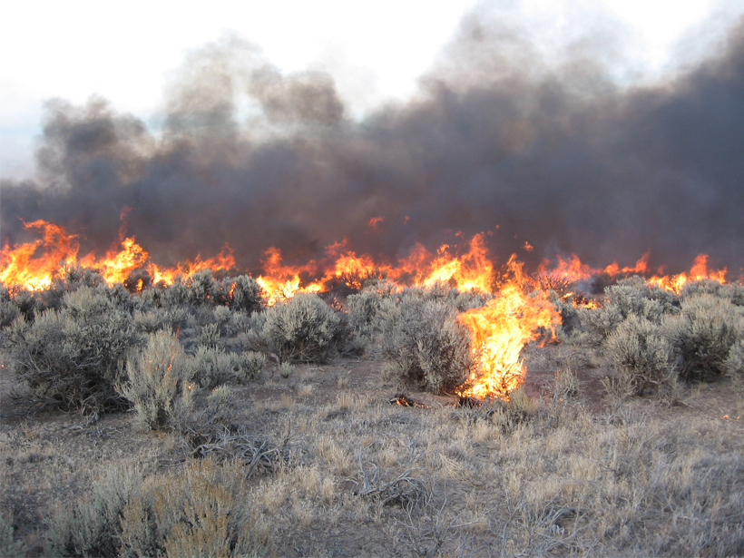
Rating Fire Danger from the Ground Up
Soil moisture information could improve assessments of wildfire probabilities and fuel conditions, resulting in better fire danger ratings.
Posted inNews
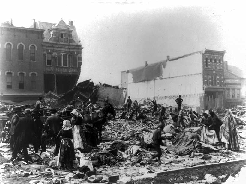
Podcast: The Johnstown Flood—A Most Avoidable Tragedy
How a dam failure near a small town in Pennsylvania continues to cast a shadow over the region more than 100 years later.

Posted inNews
Will Melting Sea Ice Expose Marine Animals to New Diseases?

Marine mammals previously separated by Arctic ice may have more opportunities to interact as water routes redefine habitats and species ranges.