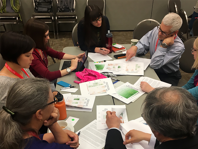
Hands-on training, collaboration with scientists, and practice using real-world challenges give planners and decision-makers confidence to work with climate model information.
Hazards & Disasters
Posted inNews
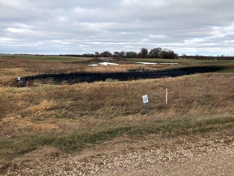
Keystone Pipeline Spills 9,120 Barrels of Oil in Dakota Wetlands
The leak took place along a preexisting section of the Keystone Pipeline. This is the pipeline’s fourth spill in 9 years.
Posted inNews
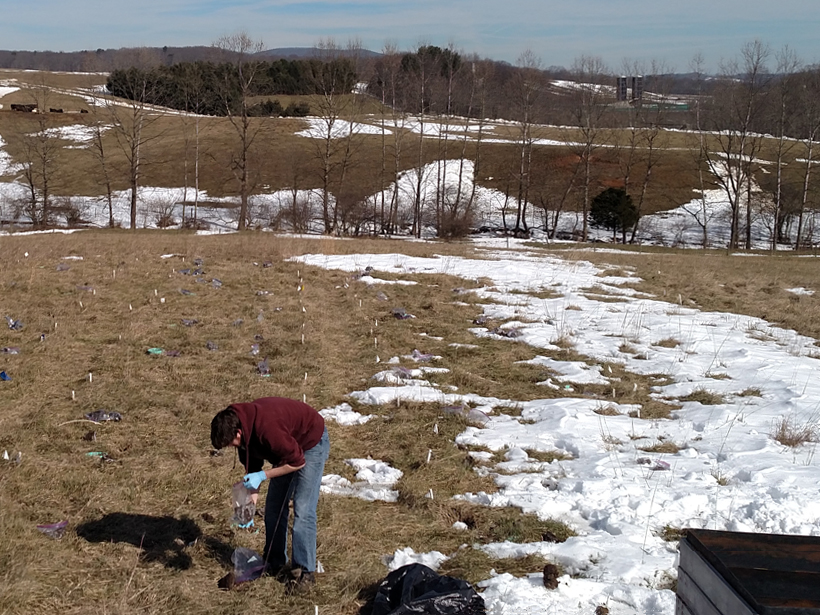
Manure Happens: The Environmental Toll of Livestock Antibiotics
New findings suggest antibiotics in cow manure can alter soil microbial activity, with implications for soil fertility and carbon emissions.
Posted inResearch Spotlights
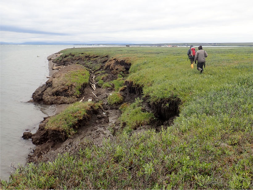
Where Does the Carbon Go When Permafrost Coasts Erode?
Arctic coastlines have not been considered carefully in carbon cycles for long, but new research suggests that eroding permafrost may emit more greenhouse gases than previously thought.

Posted inNews
Road Dust: A Health Hazard Hidden in Plain Sight
Legacy heavy metals from past industrial activity combine with traffic paint; asphalt; and bits of tires, brakes, and car parts to create toxic dust on our roadways.

Posted inNews
Asbestos Fibers Thread Through Rocks and Dust Outside Vegas
Scientists found natural asbestos minerals in one of the fastest-growing counties in the United States. The health implications aren’t clear, nor are the impacts on development.

Posted inNews
The Hazard Cascade That Led to the Anak Krakatau Landslide
Researchers used a combination of ground and space-based measures to look for warning signs for the flank collapse at Anak Krakatau in 2018, which triggered a tsunami that killed hundreds.

Posted inAGU News
For the Benefit of Humanity
This month for our Centennial, we look to AGU’s newest science, geohealth, and the related study of natural disasters.

Posted inEditors' Vox
Society’s High Stakes Game of Chance Against Nature
We can better understand the risks of natural hazards and develop more effective mitigation strategies when geoscience and social science perspectives are combined.

Posted inEditors' Highlights
Future Remote Sensing Mission Holds Promise for Flood Monitoring
The 2021 Surface Water and Ocean Topography (SWOT) mission will measure water surface elevation, slopes, and inundations of rivers as narrow as 50 meters.