
When governments respond to natural disasters, experts with some of the greatest potential to help—scientists—are often missing in action. It's time to change that.
Hazards & Disasters

Posted inScience Updates
Creating Resilient Communities Through Earth Science Data
Federation of Earth Science Information Partners 2015 Summer Meeting; Pacific Grove, California, 14–17 July 2015
Posted inResearch Spotlights
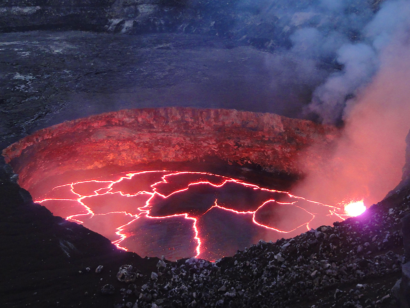
Hawaii’s Swelling Lava Lake Charts a Volcano’s Hidden Plumbing
Geophysicists used unique seismic signatures to track the cyclic rise and fall of lava inside Hawai'i Volcanoes National Park's Overlook crater.

Posted inNews
Group Pushes for Using Earth Observations in Decision Making
Earth observation "system of systems" could help with disaster resilience, sustainability, and other objectives beneficial to society, according to one organization.

Posted inNews
Oil Dispersants Deadly to a Common Estuary Species
Research on two dispersants used to break up spilled oil suggests that the chemicals can kill or harm a widely–found shrimp important to estuary habitats. The toxicity increases in less salty water.

Posted inNews
Assessing U.S. Fire Risks Using Soil Moisture Satellite Data
NASA satellite data and models provide information for mapping fire risks nationwide, giving agencies tools for fire response, say scientists at the AGU Fall Meeting.
Posted inResearch Spotlights
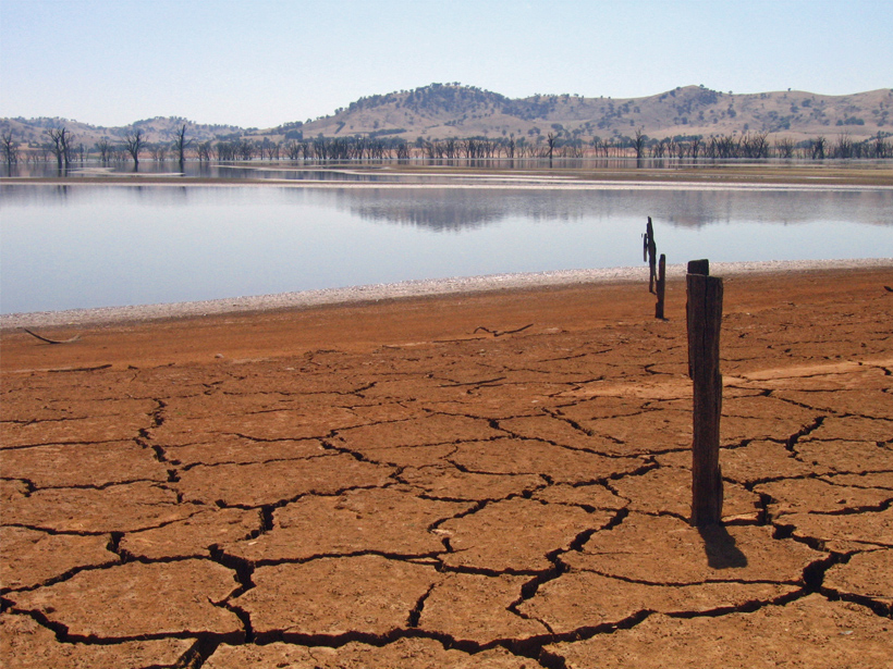
The Coming Blue Revolution
Managing water scarcity, one of the most pressing challenges society faces today, will require a novel conceptual framework to understand our place in the hydrologic cycle.
Posted inNews
The Backwards Earthquakes
Earthquakes in Idaho's panhandle are usually caused by the Earth's crust pulling apart. So why were earthquakes on 24 April pushing the crust together?
Posted inNews
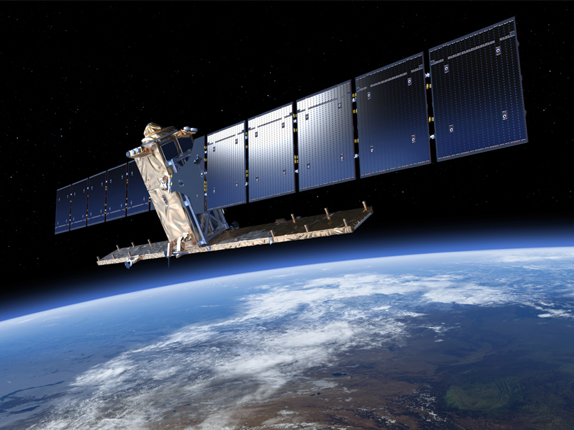
Experts Urge Europe and the U.S. to Boost Cooperation in Space
By working more closely together, these major space players could better monitor weather and natural hazards, improve communications and satellite security, and extend international cooperation.

Posted inEditors' Vox
AGU Editor Suggestions for Navigating the Fall Meeting, Part II
AGU's journal editors provide suggestions and recommendations of sessions and talks of particular interest.