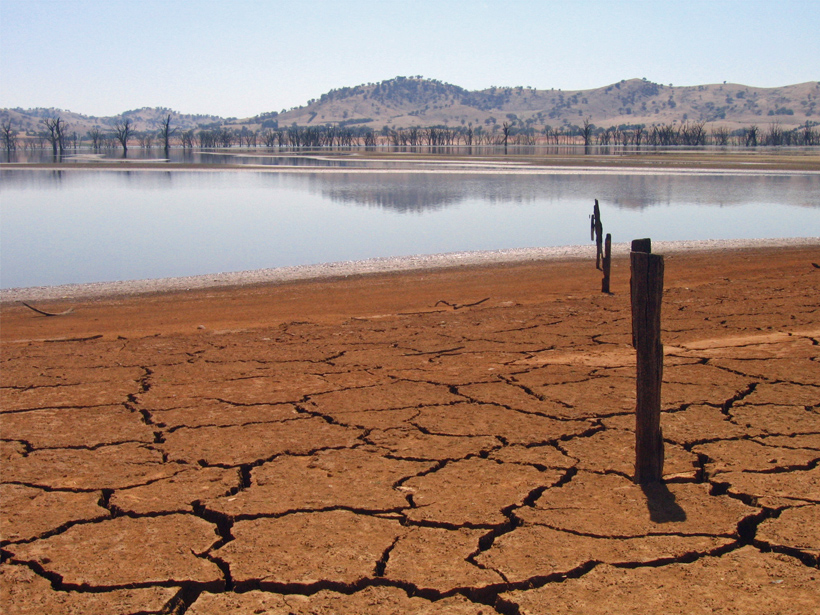
Managing water scarcity, one of the most pressing challenges society faces today, will require a novel conceptual framework to understand our place in the hydrologic cycle.
Hazards & Disasters
Posted inNews
The Backwards Earthquakes
Earthquakes in Idaho's panhandle are usually caused by the Earth's crust pulling apart. So why were earthquakes on 24 April pushing the crust together?
Posted inNews
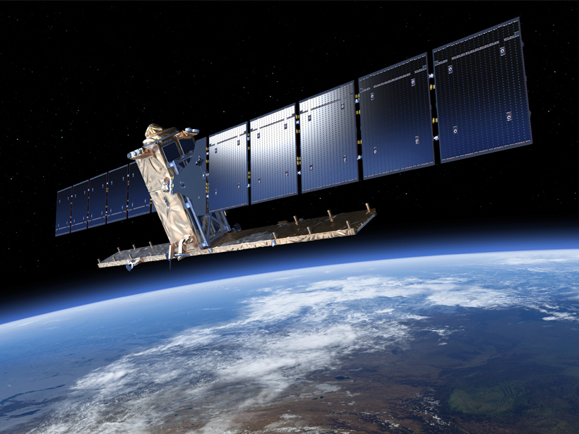
Experts Urge Europe and the U.S. to Boost Cooperation in Space
By working more closely together, these major space players could better monitor weather and natural hazards, improve communications and satellite security, and extend international cooperation.

Posted inEditors' Vox
AGU Editor Suggestions for Navigating the Fall Meeting, Part II
AGU's journal editors provide suggestions and recommendations of sessions and talks of particular interest.
Posted inNews
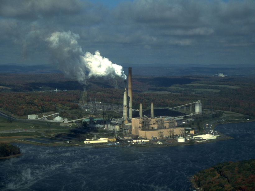
Despite Stalled Regulations, U.S. Mercury Emissions Decline
Newly published measurements made downwind of West Virginia, Pennsylvania, and Ohio coal-burning plants reveal steep, unexpected drops in atmospheric mercury concentrations since 2006.

Posted inEditors' Vox
AGU Editor Suggestions for Navigating the Fall Meeting, Part I
AGU's journal editors provide suggestions and recommendations of sessions and talks of particular interest.
Posted inEditors' Vox
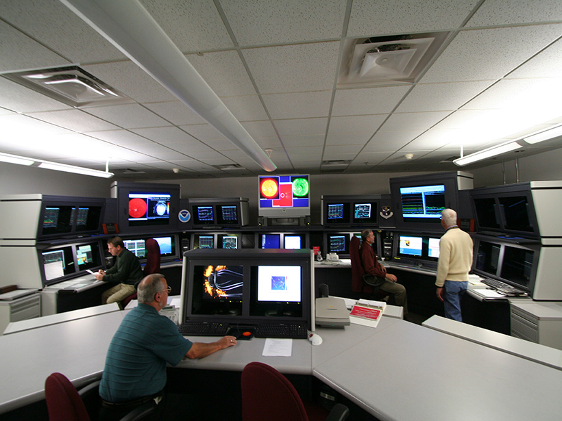
Annual SWEF Raises Awareness Across the Space Weather Enterprise
Reducing our nation's vulnerability to space weather is now a national priority, as conveyed when experts gathered for the 2015 Space Weather Enterprise Forum.

Posted inNews
Active Mud Volcano Field Discovered off Southeast Alaska
A cruise to study landslide potential along an earthquake-prone fault found a surprising methane plume.

Posted inResearch Spotlights
Aftershocks of Old Quakes Still Shake New Madrid Seismic Zone
Geodetic data show that earthquakes in 1450 and 1811–1812 may be responsible for present-day seismic activity in the region.
Posted inResearch Spotlights
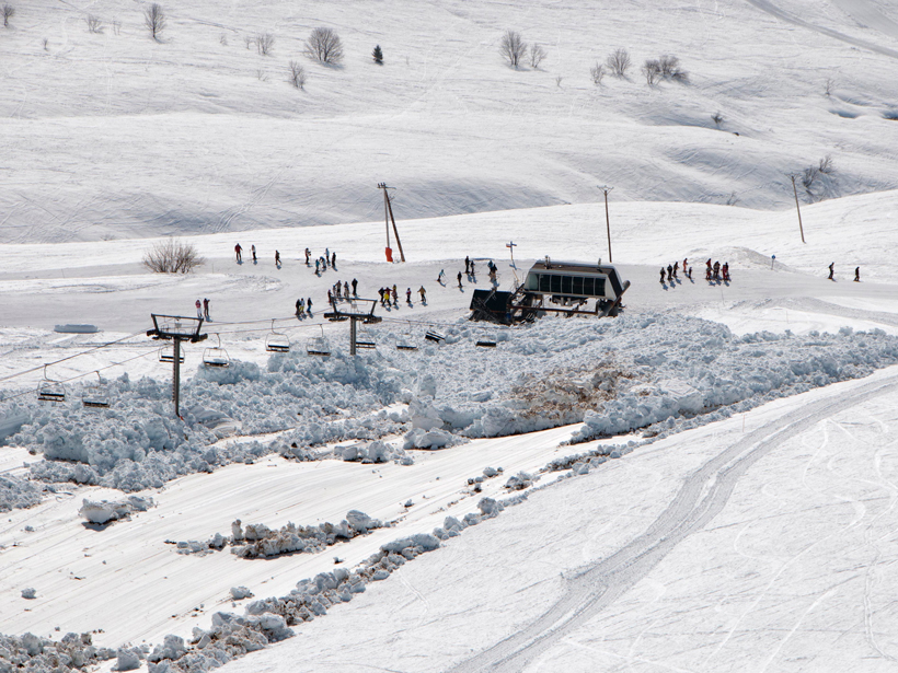
Slow-Moving Glide Avalanches Still Pack a Punch
Predicting glide avalanches and explaining how they work are difficult tasks, but the forces they exert can be calculated fairly well.