
Pollution is definitely not the solution to stopping invasive silver carp, researchers assert. But cleaner waters could affect the invasion front.
Hazards & Disasters

Posted inResearch Spotlights
New Volcanic Complex Found Below the Southern Tyrrhenian Sea
Researchers have identified a previously unknown volcanic-intrusive complex that originated through the melting of mantle material at the northern edge of the Ionian slab.

Posted inNews
Nuclear Bomb or Earthquake? Explosions Reveal the Differences
A series of controlled chemical detonations in the Nevada desert is helping researchers discern between ground shaking caused by nuclear explosions and earthquakes.
Posted inNews
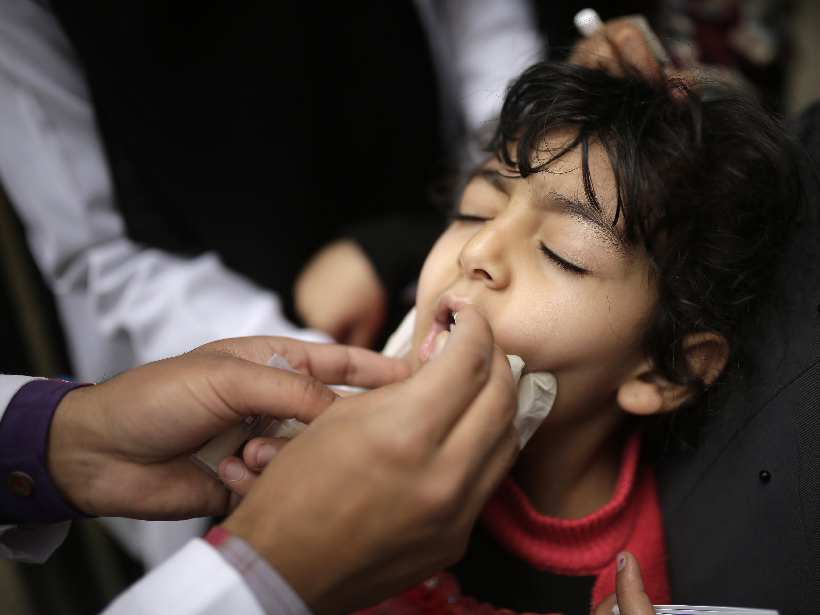
El Niño May Be a Culprit Behind the Cholera Epidemic in Yemen
Increased rainfall in East Africa and subsequent wind may have brought infected bugs to Yemen, causing the worst cholera outbreak of our time.

Posted inNews
Forecasting Solar Storms in Real Time
Predicting when solar storms will hit Earth remains a tricky business. To help, scientists can now submit their forecasts of coronal mass ejections online as they unfold in real time.

Posted inEditors' Highlights
Space Weather Drives Power Grid Anomalies in Europe
A retrospective cohort analysis of anomalies on the Czech power grid shows they are more common during enhanced geomagnetic activity, the first time such impacts have been identified outside the USA.
Posted inNews
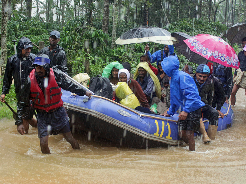
Devastating Floods Hit India for the Second Year in a Row
The deadly floods raise questions of land use and extreme precipitation trends.
Posted inNews
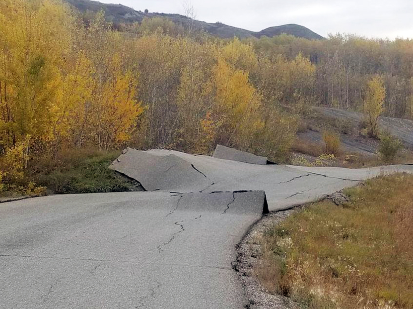
Rainfall Kick-Starts Slow-Moving Landslides
A census of hundreds of slow-moving landslides in Northern California reveals an uptick in the number and speed of landslides in 2017, the second-wettest year on record.

Posted inNews
Wind-Triggered Ground Shaking Masks Microseismicity
Ground motion caused by gusts of wind can drown out signals from the smallest earthquakes, potentially confusing earthquake detection algorithms.
Posted inNews
Podcast: Space Weather and Global Policy
In the latest episode of its Centennial series, AGU’s Third Pod from the Sun talks space weather and its influence on global policy with Delores Knipp.