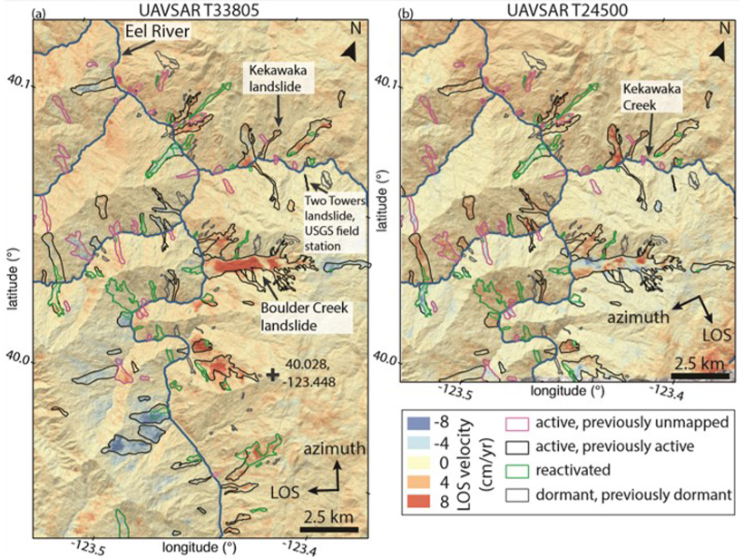
An increase in activity of hundreds of slow-moving landslides during extreme wet conditions in California provides insights into the landscape response to ongoing climate change.
Hazards & Disasters
Posted inNews
Alexander R. “Mac” McBirney (1924–2019)
This former West Point graduate and coffee grower transformed igneous petrology and volcanology.
Posted inNews
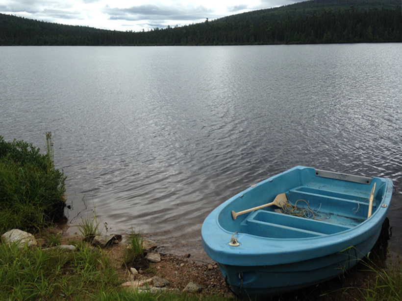
The Toxic Legacy of DDT Lives On in Remote Canadian Lakes
DDT and its breakdown products permeate lake sediments decades after the pesticide was banned.

Posted inNews
Looking Straight at the Sun
Thanks to some crucial calibrations, the world’s biggest solar telescope will have a clearer view of the Sun.

Posted inNews
How Satellite Data Improve Earthquake Monitoring
Case studies from around the world illustrate the power of geodetic data in earthquake monitoring.
Posted inScience Updates
Updated Temperature Data Give a Sharper View of Climate Trends
The latest version of NOAA’s Global Surface Temperature Dataset improves coverage over land and sea and improves the treatment of historical changes in observational practices.
Posted inScience Updates
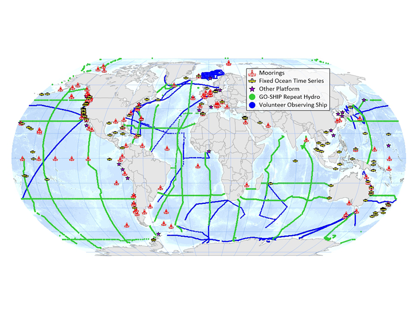
Progress and Planning in Understanding Ocean Acidification
The 4th Global Ocean Acidification Observing Network (GOA-ON) International Workshop; Hangzhou, China, 14–17 April 2019
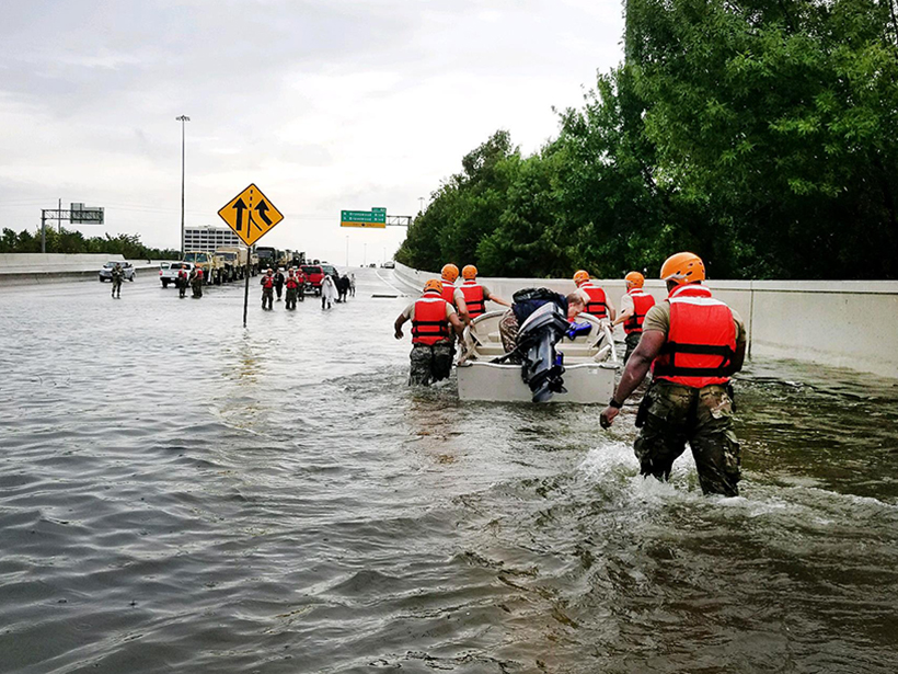
Posted inOpinions
Uncontrolled Chemical Releases: A Silent, Growing Threat
Uncontrolled releases of household, industrial, and agricultural chemicals during natural disasters pose an underappreciated hazard to humans and ecosystems. Here’s what we can do.

Posted inEditors' Highlights
Finessing Granular Flows
Granular flows are important in geophysics to the pyroclastic flow, debris flow, and avalanches. Understanding their complex and rich physics is therefore important in simulating their dynamics.

Posted inNews
Marshall Islands Nuclear Contamination Still Dangerously High
Today’s radiation levels at some locations were higher than in areas affected by the Chernobyl and Fukushima nuclear disasters.