
A regular alignment of the planets—no, it’s not pseudoscience—makes a strong enough tug to regulate the Sun’s 11- and 22-year cycles.
Hazards & Disasters
Posted inNews
Banned CFC Emissions Tracked to Eastern China
A new study indicates that better atmospheric monitoring networks are needed to enforce the Montreal Protocol.

Posted inScience Updates
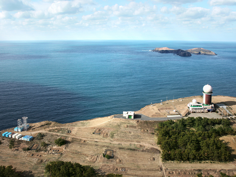
Monitoring Volcanic Craters with Infrasound “Music”
Volcanic craters act as giant horns that emit intense low-frequency sounds. Changes in this infrasound may be used to track rising lava lakes and identify signals of future eruptions.
Posted inNews
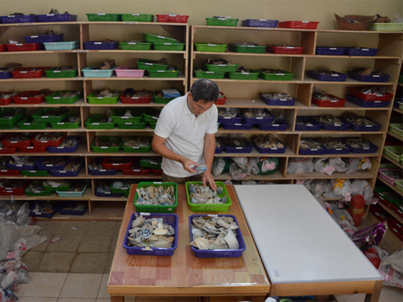
Ceramics Trace a 14th Century Indonesian Tsunami
Archaeological evidence suggests that communities on the northern coast of Sumatra devastated by a tsunami roughly 600 years ago opted to rebuild in the same area, a process repeated in 2004.
Posted inEditors' Highlights
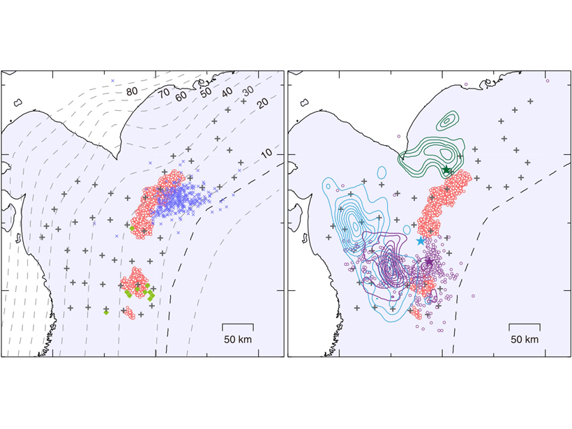
Shallow Low Frequency Tremors in Japan Trench
A new seafloor seismic network detected low-frequency tremor on the subduction zone interface offshore northern Japan, indicating regions of slow slip in close proximity to shallow megathrust events.
Posted inScience Updates
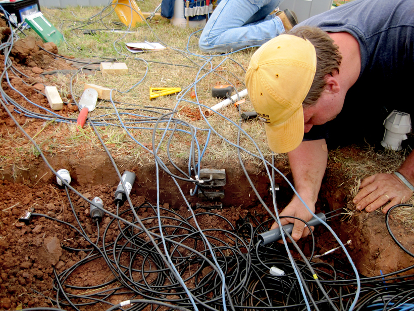
Building a One-Stop Shop for Soil Moisture Information
With a recent infusion of support from the federal government, the National Soil Moisture Network is moving ahead with its goal of integrating soil moisture data across the United States.
Posted inResearch Spotlights
Fading Air Pollution Reduces Fog in Central Valley
The tule fog in California’s Central Valley is notorious for causing delays and accidents throughout the region; however, a decrease in air pollutants is reducing the fog’s frequency.

Posted inNews
Space Is Polluted by Junk…and It’s Getting Worse
The major shift from state to commercial space programs, as well as a sharp rise in the number of upcoming launches, raises concerns about our efforts to manage the problem.

Posted inResearch Spotlights
Extreme Precipitation Expected to Increase with Warming Planet
A new analysis indicates that the frequency and magnitude of extreme precipitation events are expected to increase as Earth continues to warm.
Posted inResearch Spotlights
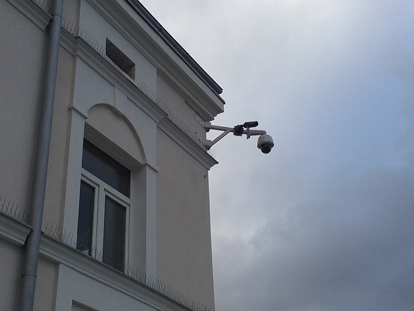
Ordinary Security Cameras Could Keep an Eye on Rainfall
A new opportunistic sensing strategy could use existing closed-circuit television networks to accurately capture rainfall intensity, despite low-cost equipment and visually complex scenes.