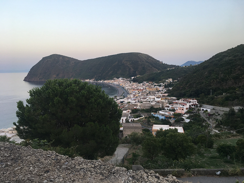
An international team of scientists installed a novel, dense network of 48 seismic sensors on the island of Lipari to investigate the active magma system underground.
Hazards & Disasters
Posted inNews
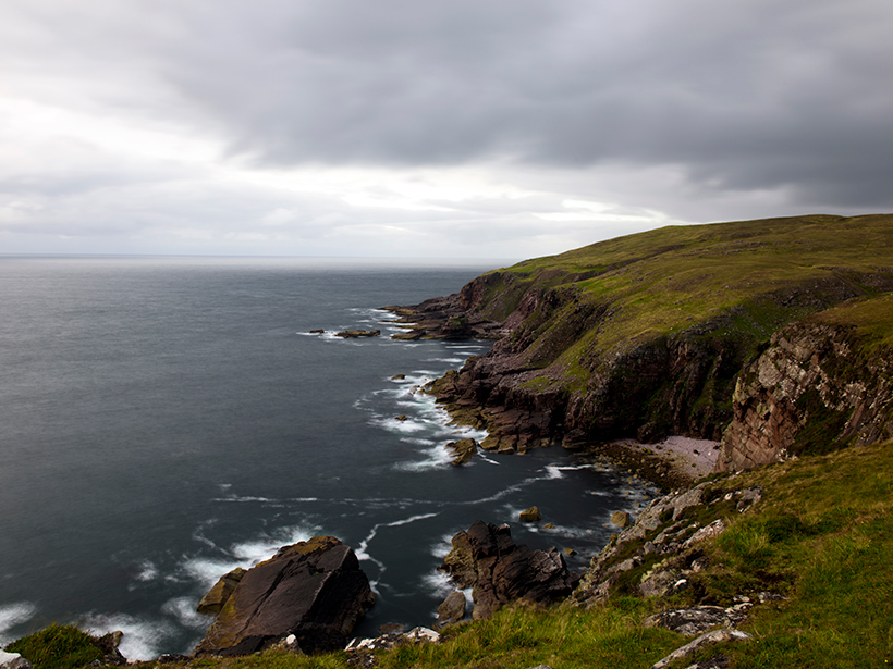
The Search for the Impact That Cratered Ancient Scotland
Great Britain’s largest impact crater likely lies in the Scottish Highlands. Scientists dispute whether it’s to the west or the east.

Posted inNews
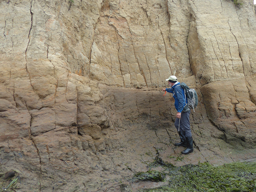
A North Carolina Lake’s Long Legacy of Coal Ash Spills
A new case study suggests that Sutton Lake has been contaminated by multiple coal ash spills, most of them apparently unmonitored and unreported.
Posted inScience Updates
Addressing Cascadia Subduction Zone Great Earthquake Recurrence
USGS Powell Center Cascadia Earthquake Hazards Working Group; Fort Collins, Colorado, 25–29 March 2019
Posted inGeoFIZZ
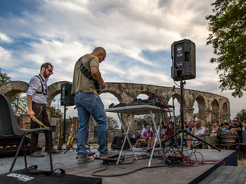
Rock On with a Group That Makes Music from Geophysical Data
Musical numbers include an Italian fault and a tour of an African greenstone belt.

Posted inFeatures
Honoring Volcanologist David Johnston as a Hero and a Human
A new biography details the life and legacy of the scientist who died on Mount St. Helens.
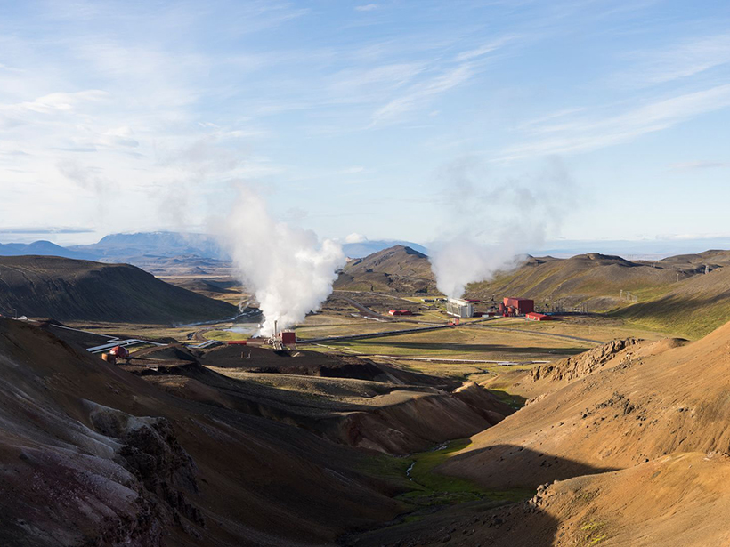
Posted inScience Updates
Planning an International Magma Observatory
A planned project will drill into a magma reservoir in Iceland that has never erupted to the surface, giving scientists a fresh look at Earth’s underground “plumbing.”

Posted inNews
Podcast: Night of the Killer Smog
In the latest episode of its Centennial series, AGU’s Third Pod from the Sun tells the story of two air quality disasters that served as catalysts for clean air regulations in the mid-20th century.

Posted inEditors' Vox
Cascading Down the Mountain
Earthquakes in mountain ranges produce a cascade of geological disturbances and hazards, from enormous landslides to climate change.

Posted inNews
Microbes Spotted in “Polyextreme” Hot Springs
Hot springs that are as acidic as battery acid are home to single-celled microorganisms that may indicate that life could have been sustained on ancient Mars.