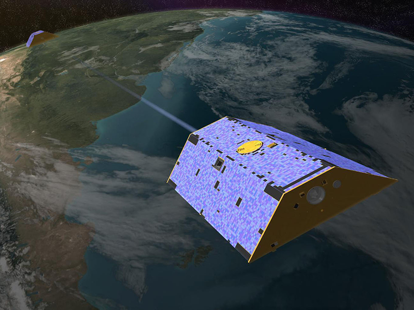
An extensive review reveals that remote sensing is changing the way we manage water resources and suggests that the coming years will bring both exciting advancements and new challenges.
Hazards & Disasters

Posted inAGU News
Mapping Heat Vulnerability to Protect Community Health
Community leaders and scientists from two U.S. cities are combining public health data and heat maps to prepare residents for climate change–related health risks.

Posted inScience Updates
Fiber-Optic Networks Find a New Use as Seismic Sensor Arrays
Distributed Acoustic Sensing: Principles and Case Studies; Washington, D.C., 9 December 2018

Posted inScience Updates
Putting the Cloud to Work for Seismology
The cloud infrastructure developed in the business community has made access to cluster computing possible for even the smallest research groups, enabling new kinds of research workflows in geophysics.
Posted inResearch Spotlights
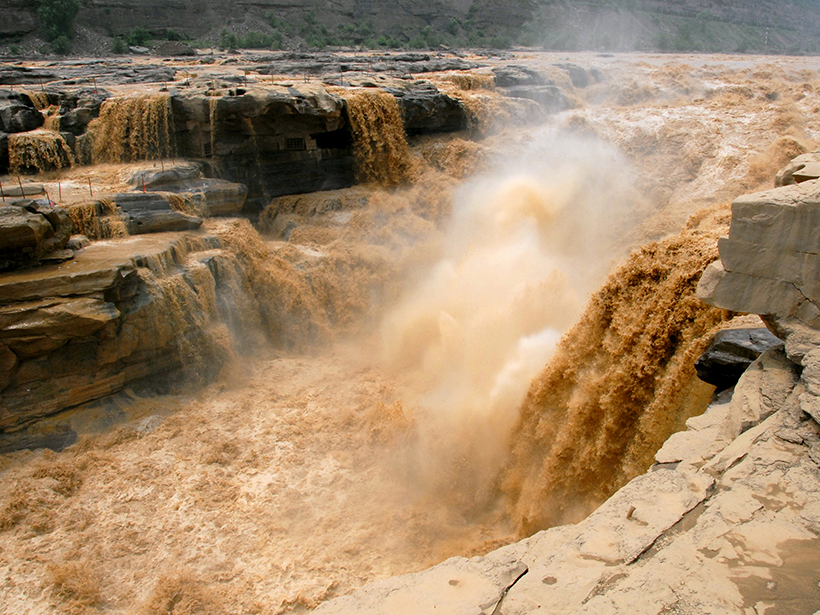
Through Flood and Drought: Reconstructing the Yellow River
Tree ring chronologies fill in gaps in the historical record and offer insights into the natural flow of China’s Yellow River.

Posted inScience Updates
Bridging the Gap with the Science for Climate Action Network
A new report identifies missing support that is slowing progress in limiting and adapting to climate change. The Science for Climate Action Network aims to provide it.
Posted inEditors' Highlights
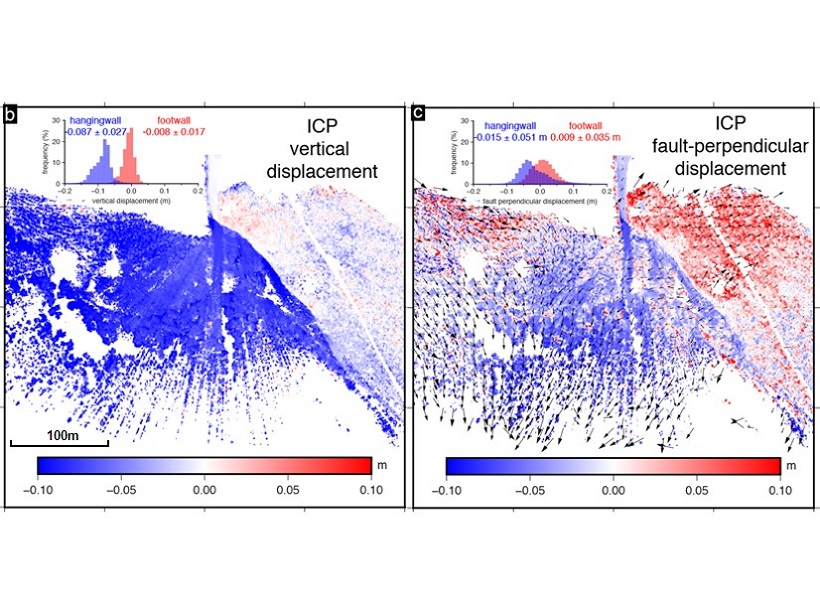
Imaging an Earthquake Rupture in High Definition
New field measurements using terrestrial laser scanning provide a detailed, centimeter-scale image of surface deformation patterns caused by the Magnitude 6.6 earthquake in Norcia, Italy.

Posted inResearch Spotlights
Subglacial Water Can Accelerate East Antarctic Glacier Flow
Airborne radar from the Recovery Glacier system demonstrates the importance of characterizing the underlying causes of ice flow speedup to understand how glacial discharge could change in the future.

Posted inNews
Weather-Induced Tsunami Waves Regularly Roll Up on U.S. Shores
Roughly 25 meteotsunamis strike coastlines between Maine and Puerto Rico each year, tide gauge data reveal.
Posted inResearch Spotlights
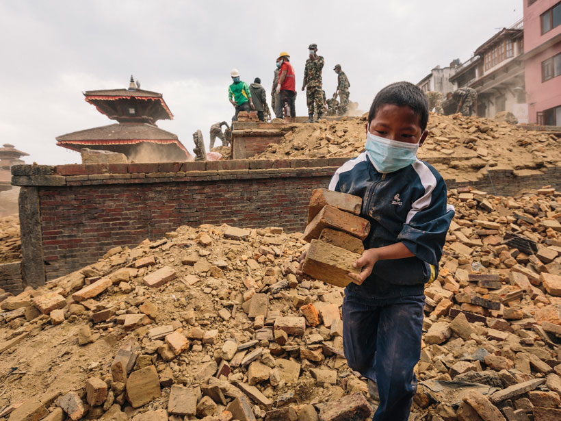
How Do Main Shocks Affect Subsequent Earthquakes?
The results of a novel analysis of aftershock size distribution have important implications for more realistically assessing the seismic hazard of earthquake sequences.