
Powerful meteorite explodes over “a sensitive part of the world.”
Hazards & Disasters
Posted inResearch Spotlights
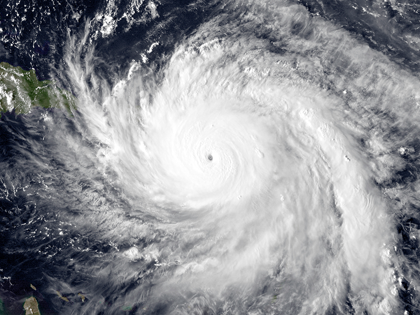
A Better Understanding of Tropical Cyclones
A new model of how anvil clouds form could improve short-term hurricane forecasts.
Posted inScience Updates
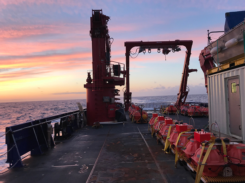
Examining Alaska’s Earthquakes on Land and Sea
The Alaska Amphibious Community Seismic Experiment is taking a close look at seismic activity along the Alaska Peninsula to understand earthquakes in this little-studied region.

Posted inEditors' Vox
The Long and Winding Road: Making Resilience Real
As humans face an inherently riskier world, a special collection in Earth’s Future explores thematic, theoretical, and empirical approaches to resilient decision-making.
Posted inNews
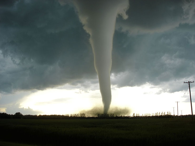
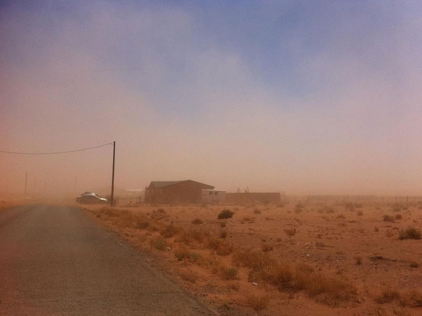
Before Canadian Scientists Can Study Tornadoes, They Have to Find Them
A yearlong project aims to find more than 150 “missing” tornadoes thought to hit Canada each year.
Posted inScience Updates
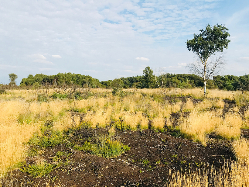
Ancient Fires and Indigenous Knowledge Inform Fire Policies
Global Paleofire Working Group 2: Diverse Knowledge Systems for Fire Policy and Biodiversity Conservation; Egham, United Kingdom, 4–9 September 2018

Posted inResearch Spotlights
When the River Meets the Sea: Estuary Sediments and Hypoxia
Scientists know that low-oxygen dead zones are growing worldwide. New research sheds light on what that will mean for estuary systems if trends continue.
Posted inScience Updates
Better Approaches to Managing Drought in the American Southwest
USGS Southwest Region 2018 Science Exchange Workshop: Drought Science; Fort Collins, Colorado, 25–27 September 2018
Posted inScience Updates
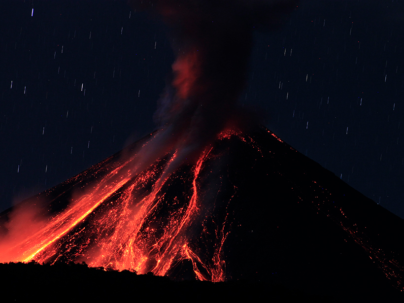
Ecuador’s El Reventador Volcano Continually Remakes Itself
A research team from Ecuador’s Geophysical Institute keeps a close eye on an unusually active and unstable volcano in the nation’s remote jungles.
Posted inNews
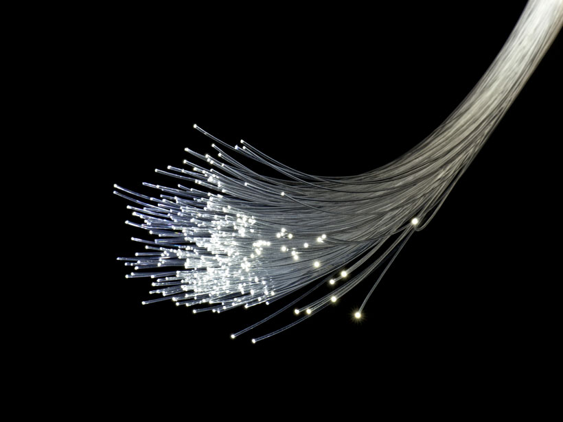
Unused Fiber-Optic Cables Repurposed as Seismic Sensors
So-called dark fiber can serve as regional seismic activity monitors and also detect earthquakes thousands of kilometers away, according to new research.