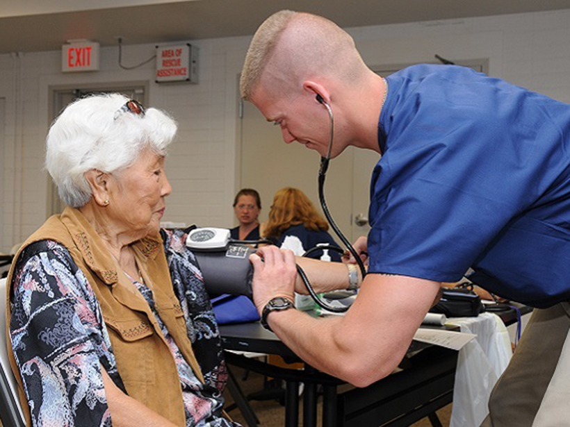
New research reveals that exposure to smoky air and the particulates created in wildfires can cause increased cardiovascular and respiratory hospitalizations for people 65 and older.
Hazards & Disasters
Posted inNews
Scientists Announce TiPES Project
The European Tipping Points in the Earth System project is a multidisciplinary effort to clarify and explain the dynamics and thresholds of climate change tipping points.

Posted inResearch Spotlights
Solar Flares Increase Radiation Risk on Commercial Aircraft
A new study quantifies how space weather may affect polar transcontinental flight.
Posted inNews
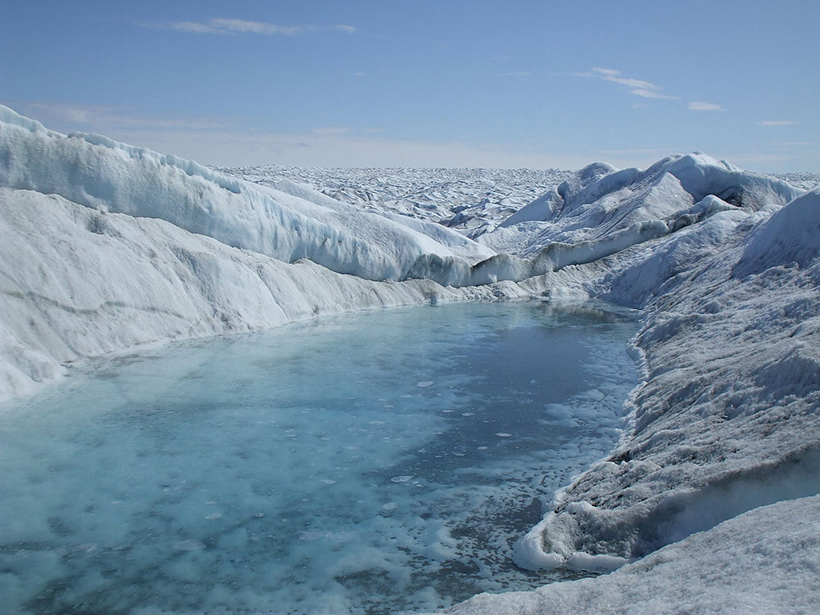
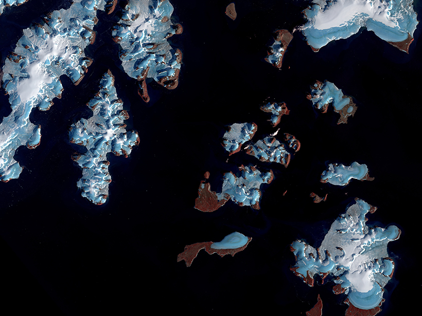
Fast-Melting Mountain Glaciers Speed Up Sea Level Rise
Satellites spy on remote alpine glaciers, producing more accurate—and higher—estimates of ice loss over time.
Posted inScience Updates
Finding the Gaps in America’s Magnetic Maps
A 2017 executive order mandated a plan to evaluate U.S. access to critical mineral resources, but the airborne magnetic survey maps that support this effort are sadly out of date.

Posted inNews
Satellite Imagery Reveals Plastic Garbage in the Ocean
Using high-resolution satellite data, scientists pinpoint discarded plastics floating off the coasts of Canada and Scotland.
Posted inNews
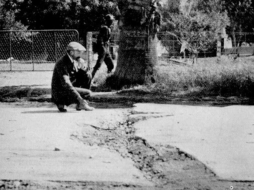
Reassessing California’s Overdue Earthquake Tab
Paleoseismic records show that the current 100-year hiatus since the last major event on the San Andreas, San Jacinto, and Hayward Faults is unprecedented in recent geologic history.
Posted inResearch Spotlights
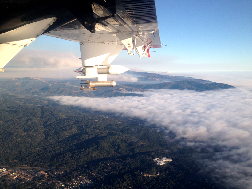
Probing Wildfire Smoke Plumes Up Close
Direct observations from flights over coastal California reveal more about aerosol plumes released by burning biomass.

Posted inNews
NOAA Monitoring Stations Are Off-Line from a GPS Y2K Moment
The outage could last until November for some stations.
Posted inNews
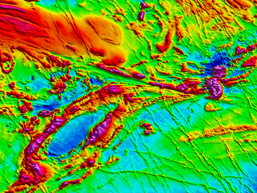
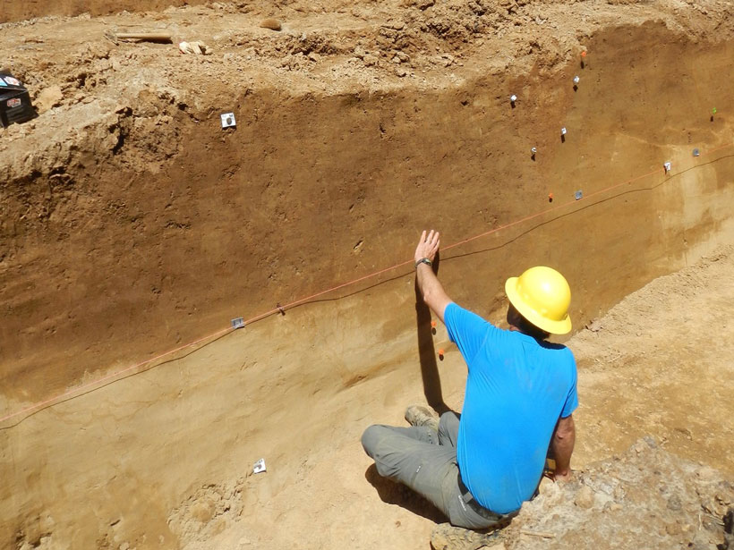
Secrets from the New Madrid Seismic Zone’s Quaking Past
High-resolution lidar topography reveals a long history of ancient earthquakes.