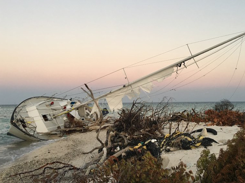
Source: Geophysical Research Letters
The 2017 hurricane season was especially severe in the Northern Hemisphere. When Hurricane Harvey hit Houston, Texas, in August, so much water fell on the city that the ground sank beneath the weight of it. Hurricane Irma followed closely on its heels, and Puerto Rico is still reeling from Hurricane Maria, which swept through in late September. There is no doubt that swiftly and accurately measuring hurricane conditions to predict their behavior before landfall could safeguard lives—and lifesaving infrastructure.
With this goal in mind, Foti et al. demonstrate a new satellite remote sensing technique that uses reflected GPS signals to measure ocean wind speeds during hurricanes. The Global Navigation Satellite System–Reflectometry (GNSS-R) technique takes measurements of Earth surface conditions by reading GPS signals after they bounce off Earth’s surface. This method can sense many surface properties like ocean roughness, wind speed, soil moisture, and sea ice. A previous study used this technique to record hurricane winds from an aircraft, but the new research shows that the same technique also works from satellite altitudes to sense ocean surface roughness in hurricane wind conditions.
To prove that the technique was sensitive enough to be used from space, the researchers used data from a GNSS Receiver Remote Sensing Instrument mounted onto a satellite 635 kilometers above the ocean. For this study, the scientists used data collected between May 2015 and October 2016, during which time Hurricane Joaquin, Hurricane Jimena, and Typhoon Chan-hom occurred.
The researchers compared the GNSS-R satellite measurements with data from other sources, including tropical cyclone best track data from the National Oceanic and Atmospheric Administration’s National Centers for Environmental Information; two climate reanalysis products; and a spaceborne scatterometer, a tool that uses microwave radar to measure winds near the surface of the ocean. They found that the GNSS-R satellite data successfully sensed wind speed conditions in each hurricane compared with these other data sources. They also captured rapid changes in wind speed that occur around the eye of the cyclone, which did not appear to be affected by any data loss, like what can be caused by heavy precipitation in other satellite data.
There are still uncertainties, however. The wind speed algorithm the scientists used was developed for low to moderate winds, below 67 miles per hour (30 meters per second). As a result, the authors conclude that the GNSS-R technique needs further validation at high wind speeds. Although the GNSS-R technique could improve wind speed measurements and hurricane research in the future, the scientists conclude that more work needs to be done to develop the technique and improve the accuracy of the high wind speeds it measures. (Geophysical Research Letters, https://doi.org/10.1002/2017GL076166, 2017)
—Alexandra Branscombe
Citation:
Branscombe, A. (2018), Measuring hurricane wind speed from space, Eos, 99, https://doi.org/10.1029/2018EO093225. Published on 01 March 2018.
Text © 2018. The authors. CC BY-NC-ND 3.0
Except where otherwise noted, images are subject to copyright. Any reuse without express permission from the copyright owner is prohibited.

